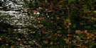
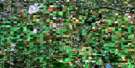
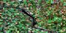
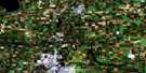
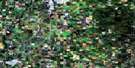
Chain Lakes Satellite Image Map
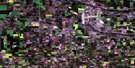
Download Free Aerial Photo 083A11 at 1:50,000 scale
Chain Lakes Satellite Imagery
To view this satellite map, mouse over the air photo on the right.
You can also download this satellite image map for free:
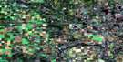
083A11 Chain Lakes high-resolution satellite image map.
Maps for the Chain Lakes aerial map sheet 083A11 at 1:50,000 scale are also available in these versions:
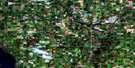
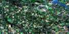
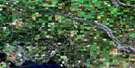
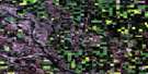
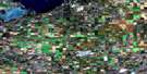
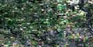
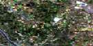
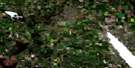
Chain Lakes Surrounding Area Aerial Photo Maps
 |
 |
 |
 |
 |
 |
 |
 |
 |
 |
 |
 |
 |
 |
 |
 |
© Department of Natural Resources Canada. All rights reserved.
Chain Lakes Gazetteer
The following places can be found on satellite image map 083A11 Chain Lakes:
Chain Lakes Satellite Image: Bays
Jarvis BayChain Lakes Satellite Image: Indian Reserves
Montana 139Chain Lakes Satellite Image: Lakes
Buffalo LakeChain Lakes
Gadsby Lake
Hatfield Lake
Magee Lake
McLean's Lake
Nelson Lake
Red Deer Lake
Samson Lake
Spotted Lake
Tait Lake
Windsor Lake
Chain Lakes Satellite Image: Mountains
Jenkins HillChain Lakes Satellite Image: Major municipal/district area - major agglomerations
County of Lacombe No. 14County of Ponoka No. 3
Lacombe County
Ponoka County
Chain Lakes Satellite Image: Rivers
Battle RiverParlby Creek
Chain Lakes Satellite Image: Unincorporated areas
EarlvilleTristram
Waterglen
Wood River
Chain Lakes Satellite Image: Low vegetation
Dutch Flats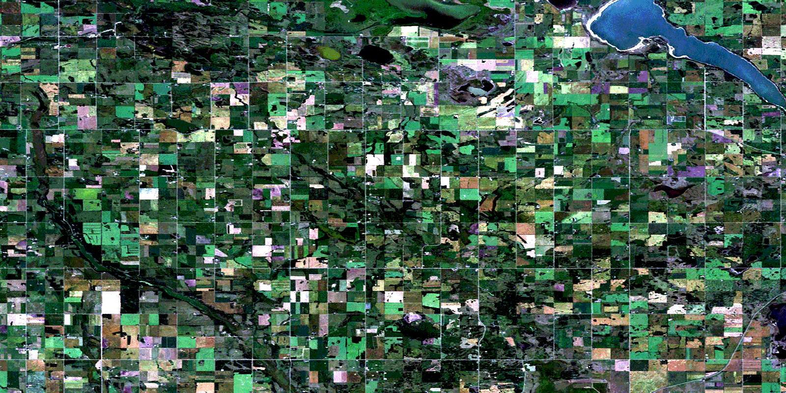
© Department of Natural Resources Canada. All rights reserved.
