Red Deer Satellite Image Map
Download Free Aerial Photo 083A05 at 1:50,000 scale
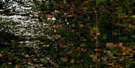
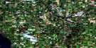
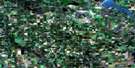
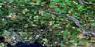
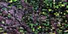
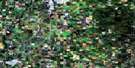
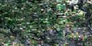
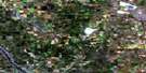
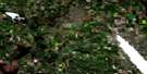
Red Deer Satellite Imagery
To view this satellite map, mouse over the air photo on the right.
You can also download this satellite image map for free:
083A05 Red Deer high-resolution satellite image map.
Maps for the Red Deer aerial map sheet 083A05 at 1:50,000 scale are also available in these versions:
Red Deer Surrounding Area Aerial Photo Maps
 |
 |
 |
 |
 |
 |
 |
 |
 |
 |
 |
 |
 |
 |
 |
 |
© Department of Natural Resources Canada. All rights reserved.
Red Deer Gazetteer
The following places can be found on satellite image map 083A05 Red Deer:
Red Deer Satellite Image: City
Red DeerRed Deer Satellite Image: Lakes
Barnett LakeBlackfalds Lake
Cygnet Lake
Gaetz Lakes
Gull Lake
Hazelett Lake
Hazlett Lake
Lacombe Lake
Red Deer Satellite Image: Mountains
Church HillRed Deer Satellite Image: Major municipal/district area - major agglomerations
County of Lacombe No. 14County of Red Deer No. 23
Lacombe County
Red Deer County
Red Deer Satellite Image: Conservation areas
Aspen Beach Provincial ParkRed Deer Bird Sanctuary
Refuge d'oiseaux de Red Deer
Red Deer Satellite Image: Rivers
Blindman RiverHaynes Creek
Jones Creek
Piper Creek
Red Deer River
Sylvan Creek
Waskasoo Creek
Whelp Brook
Wolf Creek
Red Deer Satellite Image: Towns
BlackfaldsLacombe
Red Deer Satellite Image: Unincorporated areas
Aspen BeachBriggs
Brooksley
Burbank
Chigwell
College Heights
Cygnet
Delaney
Farrant
Forth
Jackson
Joffre
June
Kasha
Labuma
North Red Deer
Prentiss
Red Deer Junction
Red Deer Satellite Image: Villages
Gull Lake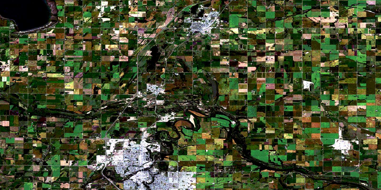
© Department of Natural Resources Canada. All rights reserved.
