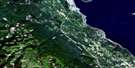
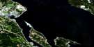
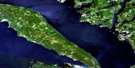
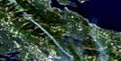
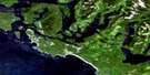
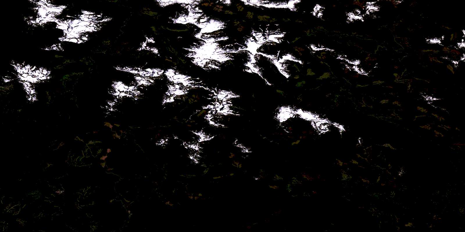
Effingham River Satellite Image Map
Download Free Aerial Photo 092F03 at 1:50,000 scale
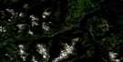
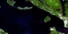
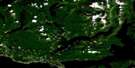
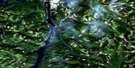
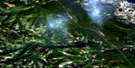
Effingham River Satellite Imagery
To view this satellite map, mouse over the air photo on the right.
You can also download this satellite image map for free:
092F03 Effingham River high-resolution satellite image map.
Maps for the Effingham River aerial map sheet 092F03 at 1:50,000 scale are also available in these versions:
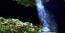
Effingham River Surrounding Area Aerial Photo Maps
 |
 |
 |
 |
 |
 |
 |
 |
 |
 |
 |
 |
 |
 |
 |
 |
© Department of Natural Resources Canada. All rights reserved.
Effingham River Gazetteer
The following places can be found on satellite image map 092F03 Effingham River:
Effingham River Satellite Image: Bays
Cigarette CoveEffingham Inlet
Mayne Bay
Pipestem Inlet
Port Alberni
Port Alberni Harbour
Snug Basin
Toquart Bay
Toquart Harbour
Two Rivers Arm
Uchucklesit Inlet
Vernon Bay
Effingham River Satellite Image: Capes
Caiger PointDaller Point
Georgina Point
Harris Point
Effingham River Satellite Image: Channels
David ChannelMacoah Passage
Effingham River Satellite Image: Indian Reserves
Deekyakus Indian Reserve 2Elhlateese Indian Reserve 2
Quinaquilth Indian Reserve 4
Réserve indienne Deekyakus 2
Réserve indienne Elhlateese 2
Réserve indienne Quinaquilth 4
Réserve indienne Winche 7
Winche Indian Reserve 7
Effingham River Satellite Image: Islands
Bazett IslandEnid Island
Hermit Islet
Hillier Island
Île de Vancouver
Image Island
Laylee Island
Pope Island
Refuge Island
Rocky Island
Shears Islands
Sisters Islands
Snowden Island
Stopper Islands
Vancouver Island
Webster Island
Effingham River Satellite Image: Lakes
Amedroz LakeBeckon Lake
Cataract Lake
Draw Lake
Effingham Lake
Ellswick Lake
Gracie Lake
Henderson Lake
Kennedy Lake
Kite Lake
Larry Lake
Little Toquart Lake
Maggie Lake
Mountain Woodfern Lake
Nahmint Lake
Redford Lake
Skull Lake
Sproat Lake
Toquart Lake
Uchuck Lake
Effingham River Satellite Image: Mountains
5040 PeakAdder Mountain
Amedroz Mountains
Black Peaks
Cats Ears Peak
Draw Mountain
Handsome Mountain
Hidden Peak
Klitsa Mountain
Lucky Mountain
Mackenzie Range
Maitland Range
Mount Amedroz
Mount Anderson
Mount Aveline
Mount Dawley
Mount Hall
Mount Halliday
Mount Maitland
Mount Redford
Nahmint Mountain
Steamboat Mountain
The Cats Ears
The Limestone Twins
Triple Peak
Turret Mountain
Vancouver Island Mountains
Vancouver Island Ranges
Effingham River Satellite Image: Major municipal/district area - major agglomerations
Regional District of Alberni-ClayoquotEffingham River Satellite Image: Conservation areas
Clayoquot Plateau ParkEffingham River Satellite Image: Rivers
Boulder CreekCanoe Creek
Cass Creek
Cataract Creek
Cats Ears Creek
Clayoquot River
Clemens Creek
Coeur d'Alene Creek
Draw Creek
Effingham River
Gracie Creek
Gracie River
Kennedy River
Little Toquart Creek
Lucky Creek
Nahmint River
Redford Creek
Sand River
St. Dennis Creek
Toquart Creek
Toquart River
Uchuck Creek
Effingham River Satellite Image: Shoals
Armentieres RockArmentières Rock
Black Patch Rocks
Blunden Rock
Kirby Rock
Pope Rocks
Effingham River Satellite Image: Unincorporated areas
ArrowsmithKildonan
© Department of Natural Resources Canada. All rights reserved.
092F Related Maps:
092F Port Alberni092F01 Nanaimo Lakes
092F02 Alberni Inlet
092F03 Effingham River
092F04 Tofino
092F05 Bedwell River
092F06 Great Central Lake
092F07 Horne Lake
092F08 Parksville
092F09 Texada Island
092F10 Comox
092F11 Forbidden Plateau
092F12 Buttle Lake
092F13 Upper Campbell Lake
092F14 Oyster River
092F15 Powell River
092F16 Haslam Lake
