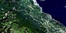
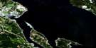
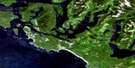
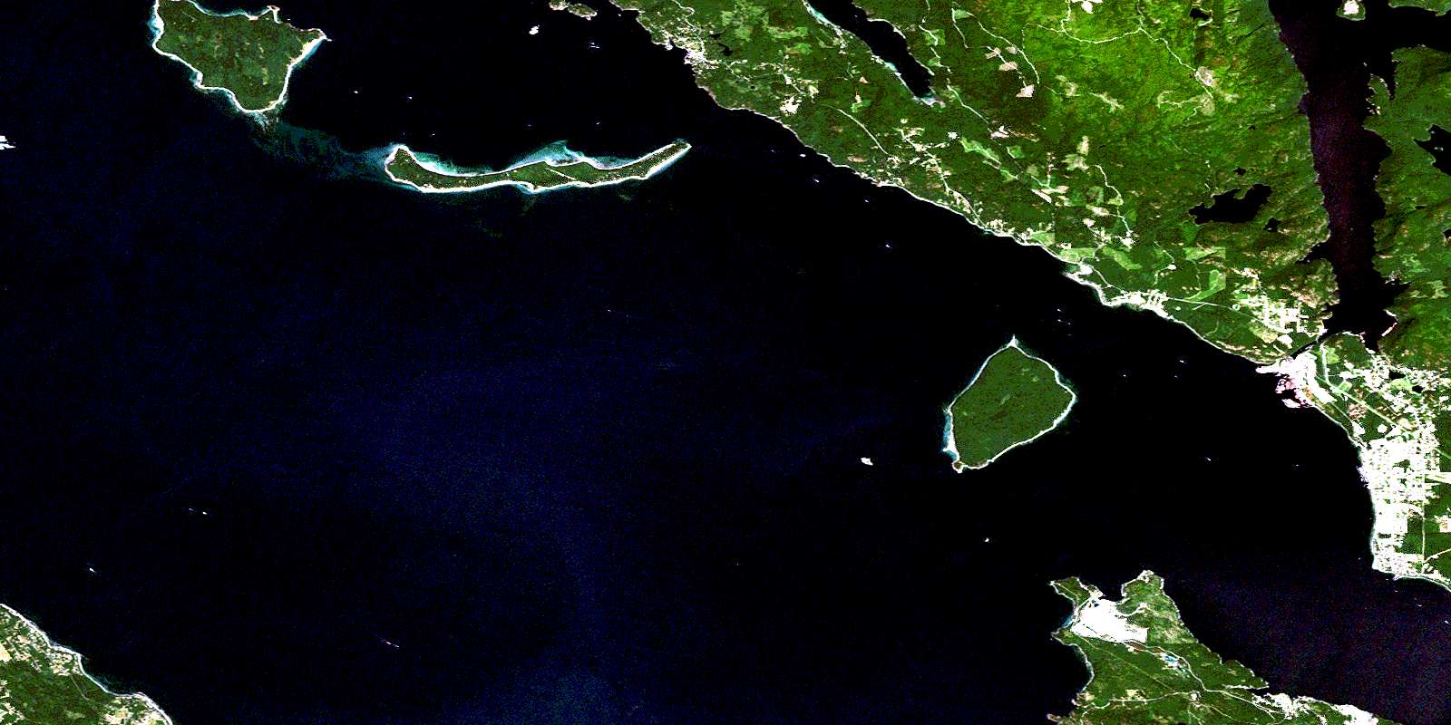
Powell River Satellite Image Map
Download Free Aerial Photo 092F15 at 1:50,000 scale
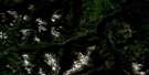
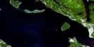
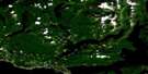
Powell River Satellite Imagery
To view this satellite map, mouse over the air photo on the right.
You can also download this satellite image map for free:
092F15 Powell River high-resolution satellite image map.
Maps for the Powell River aerial map sheet 092F15 at 1:50,000 scale are also available in these versions:
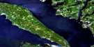
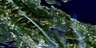
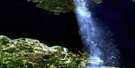
Powell River Surrounding Area Aerial Photo Maps
 |
 |
 |
 |
 |
 |
 |
 |
 |
 |
 |
 |
 |
 |
 |
 |
© Department of Natural Resources Canada. All rights reserved.
Powell River Gazetteer
The following places can be found on satellite image map 092F15 Powell River:
Powell River Satellite Image: Bays
Blubber BayCaesar Cove
Chippewa Bay
Crescent Bay
Dog Bay
Duck Bay
Eagle Cove
Finn Cove
Freke Anchorage
Haywire Bay
Keefer Bay
Limekiln Bay
Okeover Arm
Okeover Inlet
Schmarge Bay
Scuttle Bay
Seal Bay
Stag Bay
Sturt Bay
Thornton Bay
Van Anda Cove
Vananda Cove
Powell River Satellite Image: Capes
Ashworth PointBeacon Point
Blubber Point
First Point
Garnet Point
Grief Point
Grilse Point
Hidalgo Point
Hodgson Point
Hurtado Point
Indian Point
Kiddie Point
Mace Point
Malaspina Peninsula
Marshall Point
Point Marshall
Second Point
Sturt Point
Treat Point
Van Anda Point
Vananda Point
Whalebone Point
Powell River Satellite Image: Channels
Algerine PassageMalaspina Strait
Manson Passage
Shearwater Passage
Strait of Georgia
Thulin Passage
Powell River Satellite Image: City
Powell RiverPowell River Satellite Image: Cliffs
Grant BluffMarble Bluff
Powell River Satellite Image: Geographical areas
Comox Land DistrictNanaimo Land District
New Westminster Land District
Sayward Land District
Texada Island Land District
Powell River Satellite Image: Indian Reserves
Harwood Island Indian Reserve 2Réserve indienne Harwood Island 2
Réserve indienne Sliammon 1
Réserve indienne Tokenatch 5
Sliammon Indian Reserve 1
Tokenatch Indian Reserve 5
Powell River Satellite Image: Islands
Copeland IslandsGoat Island
Harwood Island
Hernando Island
Île de Vancouver
Major Islet
Mitlenatch Island
Savary Island
Sevilla Island
Texada Island
Vancouver Island
Vivian Island
Powell River Satellite Image: Lakes
Chipewa LakeCranberry Lake
Inland Lake
Little Sliammon Lake
Lund Lake
Petri Lake
Powell Lake
Sliammon Lake
Spectacle Lake
The Lagoon
Thulin Lake
Powell River Satellite Image: Mountains
Bunster RangeChaîne Côtière
Coast Mountains
Gallagher Hill
Gwendoline Hills
Leaning Tree Hill
Mount Porteous
Pacific Ranges
Powell Hill
Scout Park Hill
Valentine Hill
Powell River Satellite Image: Major municipal/district area - major agglomerations
Powell River Regional DistrictPowell River Satellite Image: Conservation areas
Copeland Islands Marine ParkKitty Coleman Beach Park
Mitlenatch Island Nature Park
Okeover Arm Park
Powell River Satellite Image: Rivers
Appleton CreekBlubber Creek
Browne Creek
Kitty Coleman Creek
Powell River
Sliammon Creek
Squatter Creek
Sturt Creek
Suspension Bridge Creek
Thulin Creek
Van Anda Creek
Vananda Creek
Wilde Creek
Powell River Satellite Image: Shoals
Alan BankAtrevida Reef
Cyril Rock
Dinner Rock
Dog Rock
Grant Reefs
Keefer Rock
Lucy Rock
Montgomery Bank
Mystery Reef
Oswald Bank
Rebecca Rock
Scott Rock
Sentry Shoal
Stradiotti Reef
Ursula Rock
Powell River Satellite Image: Unincorporated areas
Blubber BayCranberry
Cranberry Lake
Larsons Landing
Lund
Savary Island
Sliammon
Van Anda
Vananda
Westview
Wildwood
Wildwood Heights
© Department of Natural Resources Canada. All rights reserved.
092F Related Maps:
092F Port Alberni092F01 Nanaimo Lakes
092F02 Alberni Inlet
092F03 Effingham River
092F04 Tofino
092F05 Bedwell River
092F06 Great Central Lake
092F07 Horne Lake
092F08 Parksville
092F09 Texada Island
092F10 Comox
092F11 Forbidden Plateau
092F12 Buttle Lake
092F13 Upper Campbell Lake
092F14 Oyster River
092F15 Powell River
092F16 Haslam Lake
