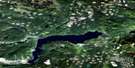
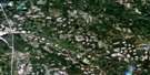
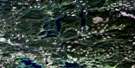
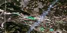
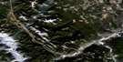
Green Lake Satellite Image Map
Download Free Aerial Photo 092P06 at 1:50,000 scale
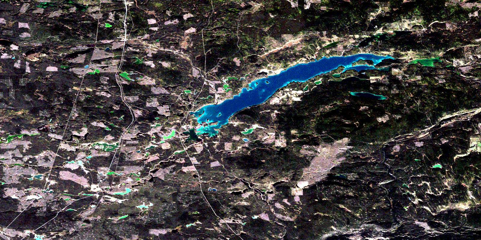
Green Lake Satellite Imagery
To view this satellite map, mouse over the air photo on the right.
You can also download this satellite image map for free:
092P06 Green Lake high-resolution satellite image map.
Maps for the Green Lake aerial map sheet 092P06 at 1:50,000 scale are also available in these versions:
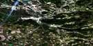
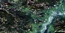
Green Lake Surrounding Area Aerial Photo Maps
 |
 |
 |
 |
 |
 |
 |
 |
 |
 |
 |
 |
 |
 |
 |
 |
© Department of Natural Resources Canada. All rights reserved.
Green Lake Gazetteer
The following places can be found on satellite image map 092P06 Green Lake:
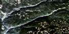
Green Lake Satellite Image: Bays
Boyd BayEmerald Bay
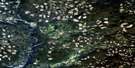
Green Lake Satellite Image: Geographical areas
InterlakesGreen Lake Satellite Image: Indian Reserves
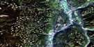
Tinmusket Indian Reserve 5AGreen Lake Satellite Image: Lakes
Bishop LakeBoyd Lake
Bullock Lake
Cunningham Lake
Davis Lake
Dundon Lakes
Eightythree Lake
Gracy Lake
Green Lake
Gwenie Lake
Home Lake
Hutchison Lake
Jim Lake
Komori Lake
Lake of the Woods
Lesser Green Lake
Little Green Lake
Little Horse Lake
Loch Lomond
Marsden Lake
McMahon Lake
Nolan Lake
Pressy Lake
Round Lake
Si Lake
Sodium Lake
Taylor Lake
Tin Cup Lake
Trapping Lake
Watch Lake
Wilkinson Lake
Young Lake
Green Lake Satellite Image: Mountains
Horseshoe HillMount Begbie
Mount Jack
Mount Jim
Mount Rosemary
Tin Cup Mountain
Green Lake Satellite Image: Major municipal/district area - major agglomerations
Cariboo Regional DistrictGreen Lake Satellite Image: Conservation areas
Green Lake ParkGreen Lake Recreation Area
Green Lake Satellite Image: Plains
Fraser PlateauGreen Timber Plateau
Interior Plateau
Thompson Plateau
Green Lake Satellite Image: Rivers
Bonaparte RiverBoyd Creek
Campeau Creek
Cunningham Creek
Dundon Creek
Eightyseven Creek
Eightythree Creek
Fly Creek
Nolan Creek
Rayfield River
Si Creek
Sixtyone Creek
Taylor Creek
Tin Cup Creek
Watch Creek
Whitley Creek
Green Lake Satellite Image: Unincorporated areas
70 Mile70 Mile House
87 Mile House
Dundon
Eightyseven Mile House
Flying U
Flying-U
Graham
Gravel Pit
Koster
© Department of Natural Resources Canada. All rights reserved.
092P Related Maps:
092P Bonaparte Lake092P01 Louis Creek
092P02 Criss Creek
092P03 Loon Lake
092P04 Clinton
092P05 Jesmond
092P06 Green Lake
092P07 Bridge Lake
092P08 Chu Chua Creek
092P09 Clearwater
092P10 Deka Lake
092P11 100 Mile House
092P12 Gustafsen Lake
092P13 Chimney Lake
092P14 Lac La Hache
092P15 Canim Lake
092P16 Mahood Lake
