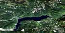
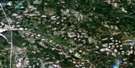
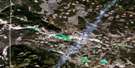
Lac La Hache Satellite Image Map
Download Free Aerial Photo 092P14 at 1:50,000 scale
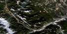
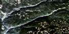
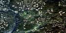
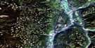
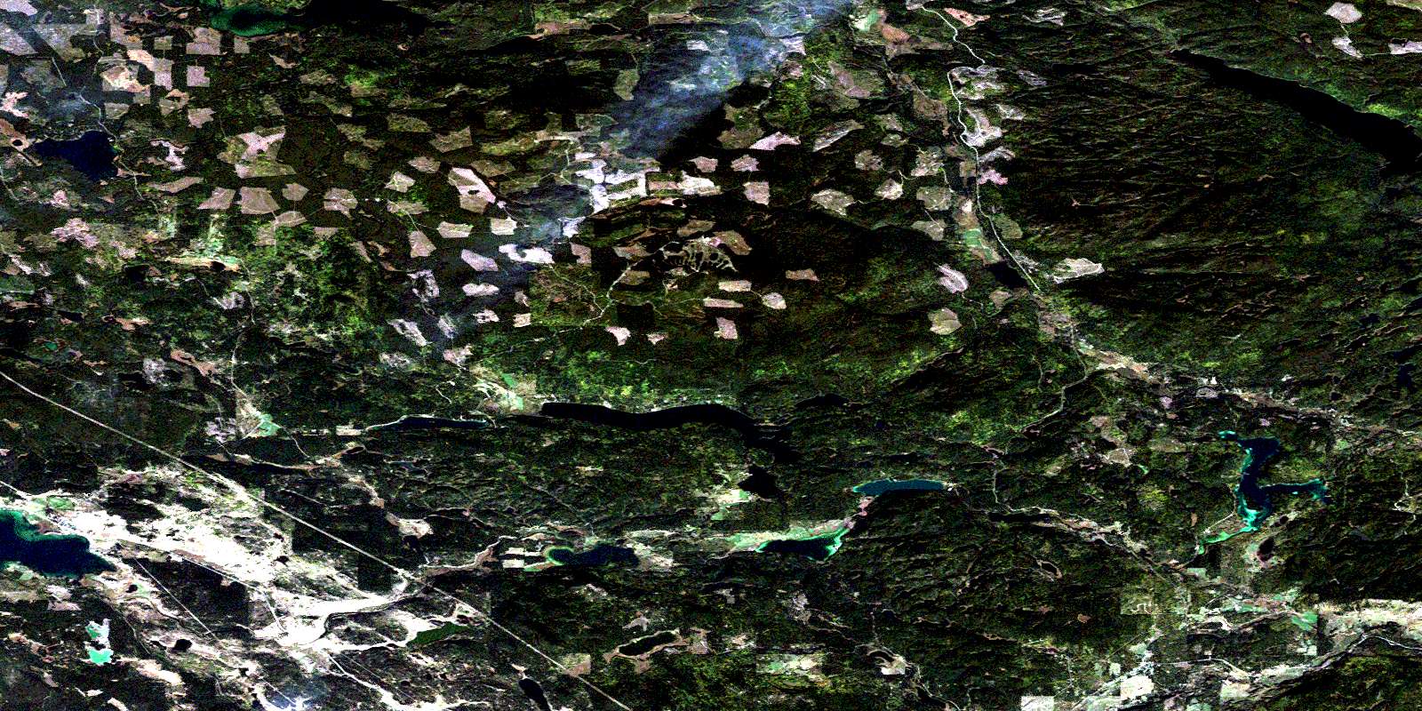
Lac La Hache Satellite Imagery
To view this satellite map, mouse over the air photo on the right.
You can also download this satellite image map for free:
092P14 Lac La Hache high-resolution satellite image map.
Maps for the Lac La Hache aerial map sheet 092P14 at 1:50,000 scale are also available in these versions:
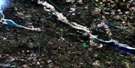
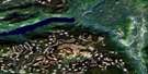
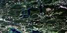
Lac La Hache Surrounding Area Aerial Photo Maps
 |
 |
 |
 |
 |
 |
 |
 |
 |
 |
 |
 |
 |
 |
 |
 |
© Department of Natural Resources Canada. All rights reserved.
Lac La Hache Gazetteer
The following places can be found on satellite image map 092P14 Lac La Hache:
Lac La Hache Satellite Image: Indian Reserves
Canim Lake Indian Reserve 1Canim Lake Indian Reserve 3
Canim Lake Indian Reserve 4
Réserve indienne Canim Lake 1
Réserve indienne Canim Lake 3
Réserve indienne Canim Lake 4
Lac La Hache Satellite Image: Lakes
108 Mile LakeBearpaw Lake
Becker Lake
Bedingfield Lake
Bryne Lake
Chautemps Lake
Chub Lake
Club Lake
Cope Lake
Dempsey Lake
Fly Lake
Goose Lake
Greeny Lake
Itautso Lake
Lac la Hache
Lake of The Trees
Lang Lake
Larsen Lake
Lower Lake
Lower Peach Lake
Lucile Lake
Lucile Lakes
MacDougall Lake
Morrison Lake
Nash Lake
Nettie Lake
Ogden Lake
Peach Lake
Pete Kitchen Lake
Rail Lake
Ruth Lake
Sand Hill Lake
Sherman Lake
Sneezie Lake
Soda Lake
Spout Lake
Spring Lake
Stack Lake
Sucker Lake
Timothy Lake
Tubbs Lake
Upper Lake
Whitehorse Lake
Wilcox Lake
Lac La Hache Satellite Image: Mountains
Camelsfoot MountainsMount Timothy
Lac La Hache Satellite Image: Major municipal/district area - major agglomerations
Cariboo Regional DistrictLac La Hache Satellite Image: Conservation areas
Ruth Lake ParkLac La Hache Satellite Image: Plains
Fraser PlateauInterior Plateau
Lac La Hache Satellite Image: Recreational sites
Mount TimothyLac La Hache Satellite Image: Rivers
111 Mile Creek117 Mile Creek
Berlichingen Creek
Boabdil Creek
Boas Creek
Boccaccio Creek
Bradley Creek
Bridge Creek
Chautemps Creek
Chicken Creek
Dempsey Creek
Eagle Creek
Goose Creek
Halfway Creek
Husham Creek
Morrison Creek
Neil Creek
Nettie Creek
Rail Creek
Ravine Creek
Rock Creek
Ruth Creek
Saddle Creek
Timothy Creek
Watson Creek
Westman Creek
Lac La Hache Satellite Image: Unincorporated areas
111 Mile House114 Mile House
Clarks Crossing
Forest Grove
Lac la Hache
Lac la Hache
© Department of Natural Resources Canada. All rights reserved.
092P Related Maps:
092P Bonaparte Lake092P01 Louis Creek
092P02 Criss Creek
092P03 Loon Lake
092P04 Clinton
092P05 Jesmond
092P06 Green Lake
092P07 Bridge Lake
092P08 Chu Chua Creek
092P09 Clearwater
092P10 Deka Lake
092P11 100 Mile House
092P12 Gustafsen Lake
092P13 Chimney Lake
092P14 Lac La Hache
092P15 Canim Lake
092P16 Mahood Lake
