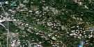
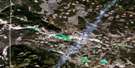
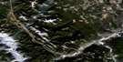
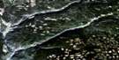
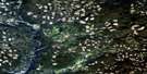
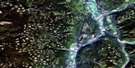
Jesmond Satellite Image Map
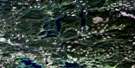
Download Free Aerial Photo 092P05 at 1:50,000 scale
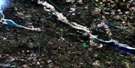
Jesmond Satellite Imagery
To view this satellite map, mouse over the air photo on the right.
You can also download this satellite image map for free:
092P05 Jesmond high-resolution satellite image map.
Maps for the Jesmond aerial map sheet 092P05 at 1:50,000 scale are also available in these versions:
Jesmond Surrounding Area Aerial Photo Maps
 |
 |
 |
 |
 |
 |
 |
 |
 |
 |
 |
 |
 |
 |
 |
 |
© Department of Natural Resources Canada. All rights reserved.
Jesmond Gazetteer
The following places can be found on satellite image map 092P05 Jesmond:
Jesmond Satellite Image: Indian Reserves
Canoe Creek Indian Reserve 2Copper Johnny Meadow Indian Reserve 8
Fish Lake Indian Reserve 5
Réserve indienne Canoe Creek 2
Réserve indienne Copper Johnny Meadow 8
Réserve indienne Fish Lake 5
Réserve indienne Spilmouse 4
Réserve indienne Tinmusket 5A
Réserve indienne Toby Lake 6
Spilmouse Indian Reserve 4
Tinmusket Indian Reserve 5A
Toby Lake Indian Reserve 6
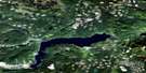
Jesmond Satellite Image: Lakes
Alberta LakeBeaverdam Lake
Big Bar Lake
Bullock Lake
Canoe Lake
Clink Lake
Cunningham Lake
Flat Lake
Goodenough Lake
Last Chance Lake
Little Big Bar Lake
Little White Lake
Long Lake
McKinley Lake
Meadow Lake
Mule Lake
Pigeon Lake
Pollard Lake
Ridge Lake
Riley Lake
River Lake
River Lakes
Toby Lake
Valenzuela Lake
White Lake
Wild Goose Lakes
Jesmond Satellite Image: Mountains
Marble MountainsMarble Range
Pavilion Mountains
Pavilion Range
Jesmond Satellite Image: Major municipal/district area - major agglomerations
Cariboo Regional DistrictJesmond Satellite Image: Conservation areas
Big Bar Lake ParkJesmond Satellite Image: Plains
Foxtail FlatFraser Plateau
Green Timber Plateau
Interior Plateau
Jesmond Satellite Image: Rivers
Big Bar CreekCanoe Creek
Copper Johnny Creek
Dog Creek
Eleven Mile Creek
Fiftynine Creek
Indian Meadows Creek
Jesmond Creek
Knox Creek
Sixtyone Creek
Valenzuela Creek
Jesmond Satellite Image: Unincorporated areas
JesmondJesmond Satellite Image: Low vegetation
Augustine Flat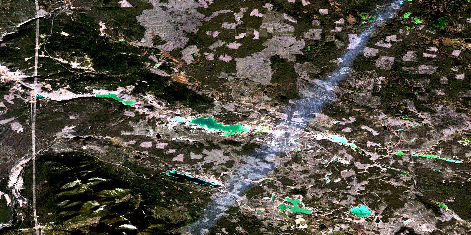
© Department of Natural Resources Canada. All rights reserved.
092P Related Maps:
092P Bonaparte Lake092P01 Louis Creek
092P02 Criss Creek
092P03 Loon Lake
092P04 Clinton
092P05 Jesmond
092P06 Green Lake
092P07 Bridge Lake
092P08 Chu Chua Creek
092P09 Clearwater
092P10 Deka Lake
092P11 100 Mile House
092P12 Gustafsen Lake
092P13 Chimney Lake
092P14 Lac La Hache
092P15 Canim Lake
092P16 Mahood Lake
