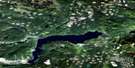
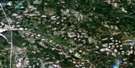
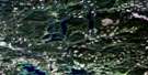
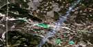
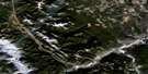
Loon Lake Satellite Image Map
Download Free Aerial Photo 092P03 at 1:50,000 scale
Loon Lake Satellite Imagery
To view this satellite map, mouse over the air photo on the right.
You can also download this satellite image map for free:
092P03 Loon Lake high-resolution satellite image map.
Maps for the Loon Lake aerial map sheet 092P03 at 1:50,000 scale are also available in these versions:
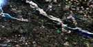
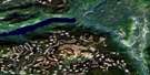
Loon Lake Surrounding Area Aerial Photo Maps
 |
 |
 |
 |
 |
 |
 |
 |
 |
 |
 |
 |
 |
 |
 |
 |
© Department of Natural Resources Canada. All rights reserved.
Loon Lake Gazetteer
The following places can be found on satellite image map 092P03 Loon Lake:
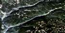
Loon Lake Satellite Image: Falls
Clinton FallsLoon Lake Satellite Image: Indian Reserves
Hihium Lake Indian Reserve 6Hihium Lake Indian Reserve 6A
Hihium Lake Indian Reserve 6B
Loon Lake Indian Reserve 4
Réserve indienne Hihium Lake 6
Réserve indienne Hihium Lake 6A
Réserve indienne Hihium Lake 6B
Réserve indienne Loon Lake 4
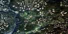
Loon Lake Satellite Image: Lakes
Dougherty LakeEast Camp Lake
Hihium Lake
Knife Lakes
Loon Lake
Mokian Lake
Rim Lake
Upper Loon Lake
Wohlleben Lakes
Loon Lake Satellite Image: Mountains
Arrowstone HillsMarble Range
Mount Grant
Loon Lake Satellite Image: Conservation areas
Chasm ParkLoon Lake Park
Loon Lake Satellite Image: Plains
Bonaparte PlateauFraser Plateau
Green Timber Plateau
Interior Plateau
Thompson Plateau
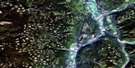
Loon Lake Satellite Image: Rivers
Bonaparte RiverBrigade Creek
Chasm Creek
Clinton Creek
East Twin Creek
Fiftynine Creek
Fiftyseven Creek
Fly Creek
Gorge Creek
Hihium Creek
Loon Creek
Sixtyone Creek
Thunder Creek
Tobacco Creek
West Twin Creek
Wohlleben Creek
Loon Lake Satellite Image: Unincorporated areas
ChasmFill
Loon Lake
Loon Lake Satellite Image: Valleys
The ChasmLoon Lake Satellite Image: Low vegetation
Illahee Meadows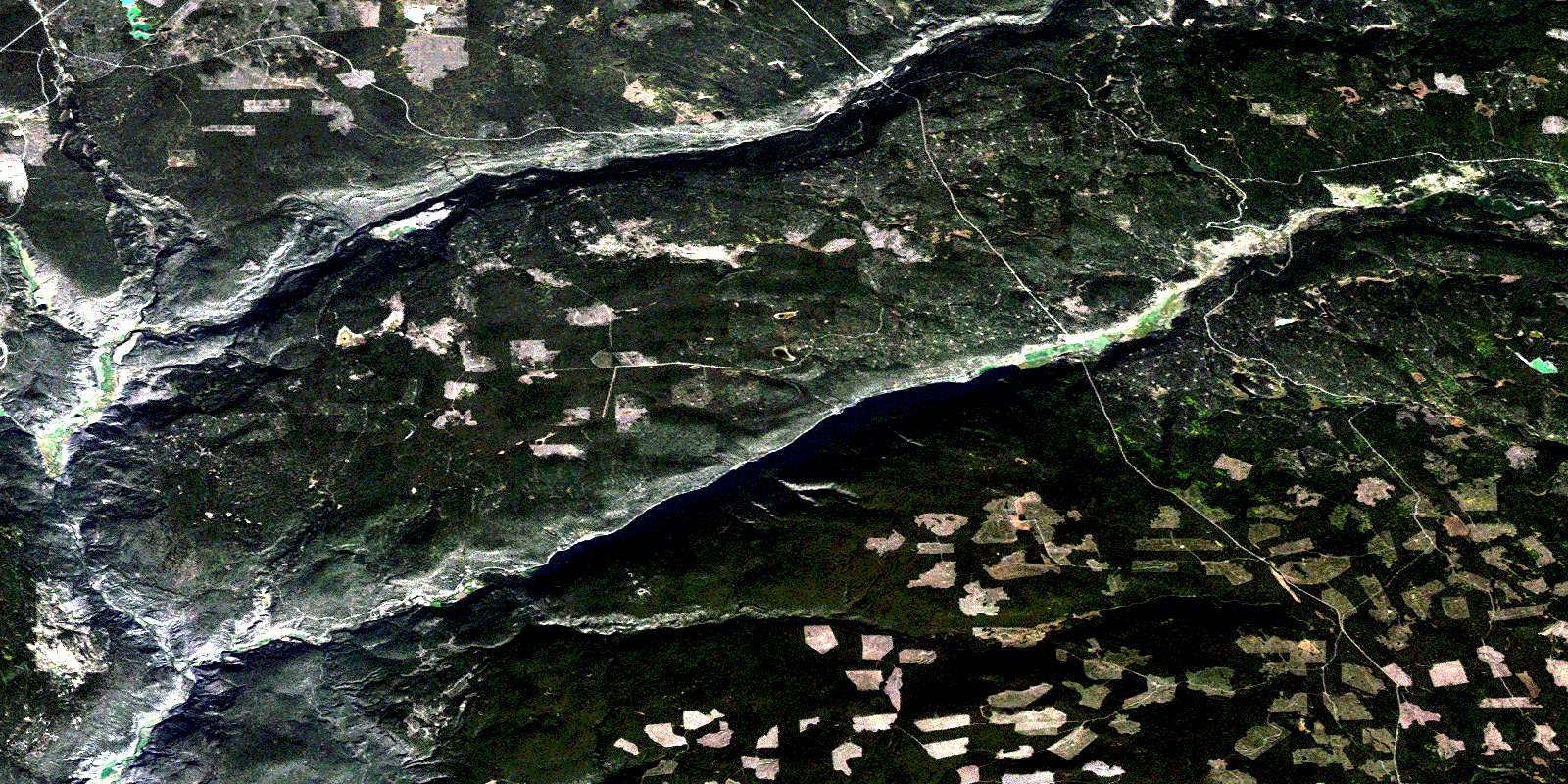
© Department of Natural Resources Canada. All rights reserved.
092P Related Maps:
092P Bonaparte Lake092P01 Louis Creek
092P02 Criss Creek
092P03 Loon Lake
092P04 Clinton
092P05 Jesmond
092P06 Green Lake
092P07 Bridge Lake
092P08 Chu Chua Creek
092P09 Clearwater
092P10 Deka Lake
092P11 100 Mile House
092P12 Gustafsen Lake
092P13 Chimney Lake
092P14 Lac La Hache
092P15 Canim Lake
092P16 Mahood Lake
