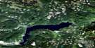
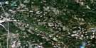
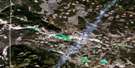
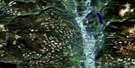
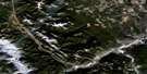
Chimney Lake Satellite Image Map
Download Free Aerial Photo 092P13 at 1:50,000 scale
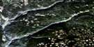
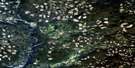
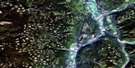
Chimney Lake Satellite Imagery
To view this satellite map, mouse over the air photo on the right.
You can also download this satellite image map for free:
092P13 Chimney Lake high-resolution satellite image map.
Maps for the Chimney Lake aerial map sheet 092P13 at 1:50,000 scale are also available in these versions:
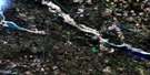
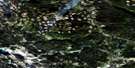
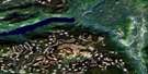
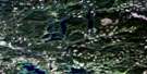
Chimney Lake Surrounding Area Aerial Photo Maps
 |
 |
 |
 |
 |
 |
 |
 |
 |
 |
 |
 |
 |
 |
 |
 |
© Department of Natural Resources Canada. All rights reserved.
Chimney Lake Gazetteer
The following places can be found on satellite image map 092P13 Chimney Lake:
Chimney Lake Satellite Image: Bays
Kokanee BayChimney Lake Satellite Image: Indian Reserves
Loon Lake Indian Reserve 10Réserve indienne Loon Lake 10
Réserve indienne Windy Mouth 7
Sampson's Meadow Indian Reserve 11A
Windy Mouth Indian Reserve 7
Chimney Lake Satellite Image: Islands
Emerald IslandChimney Lake Satellite Image: Lakes
130 Mile LakeBearpaw Lake
Bobtail Lake
Brushy Lake
Camacho Lake
Cambaceres Lake
Chimney Lake
Dingwall Lakes
Dixon Lake
Felker Lake
Hale Lake
Helena Lake
Island Lake
John Lake
Lac la Hache
Long Johnny Lake
Marling Lake
Maze Lake
Muench Lake
Murphy Lake
Parker Lake
Phililloo Lake
Place Lake
Rosa Lake
Steamboat Lake
Thirsty Lake
Walmith Lake
Woodfrog Lake
Chimney Lake Satellite Image: Major municipal/district area - major agglomerations
Cariboo Regional DistrictChimney Lake Satellite Image: Conservation areas
Cariboo Nature ParkLac La Hache Park
Chimney Lake Satellite Image: Plains
Fraser PlateauInterior Plateau
Chimney Lake Satellite Image: Rivers
Dennis CreekDingwall Creek
Forbes Creek
Helena Creek
Island Creek
John Lake Creek
Knife Creek
Muench Creek
Murphy Creek
Parker Creek
Rosa Creek
San Jose River
Scott Creek
Chimney Lake Satellite Image: Unincorporated areas
122 Mile House127 Mile House
Canama
Enterprise
Wright
Chimney Lake Satellite Image: Low vegetation
Callaghan Meadow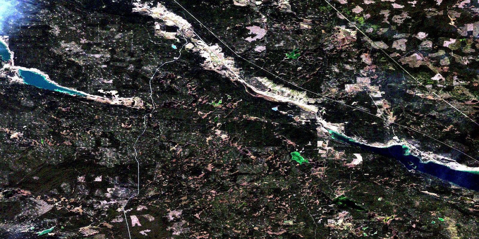
© Department of Natural Resources Canada. All rights reserved.
092P Related Maps:
092P Bonaparte Lake092P01 Louis Creek
092P02 Criss Creek
092P03 Loon Lake
092P04 Clinton
092P05 Jesmond
092P06 Green Lake
092P07 Bridge Lake
092P08 Chu Chua Creek
092P09 Clearwater
092P10 Deka Lake
092P11 100 Mile House
092P12 Gustafsen Lake
092P13 Chimney Lake
092P14 Lac La Hache
092P15 Canim Lake
092P16 Mahood Lake
