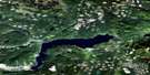
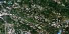
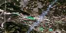
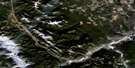
Chu Chua Creek Satellite Image Map
Download Free Aerial Photo 092P08 at 1:50,000 scale
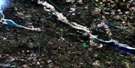
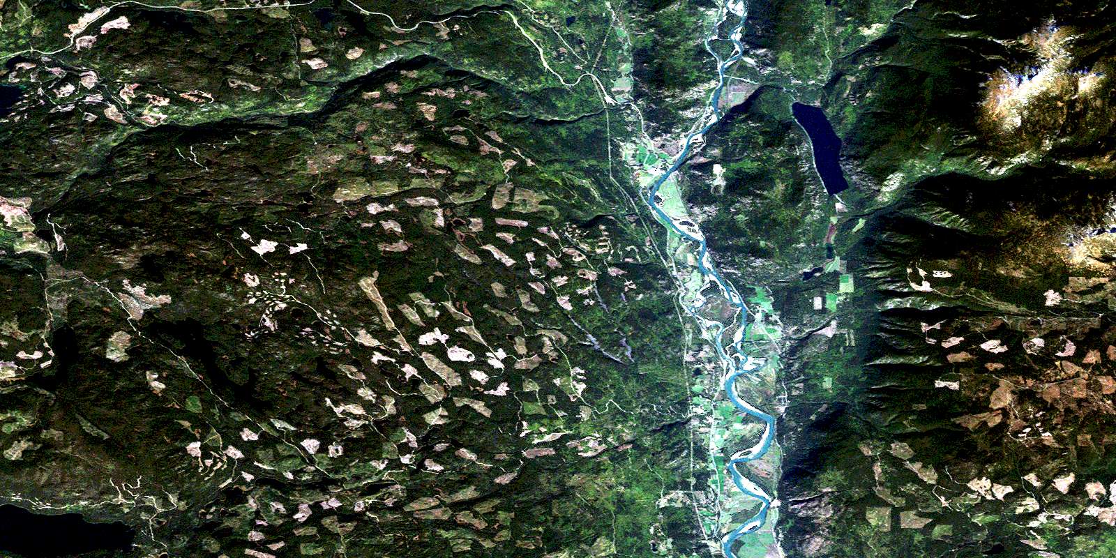
Chu Chua Creek Satellite Imagery
To view this satellite map, mouse over the air photo on the right.
You can also download this satellite image map for free:
092P08 Chu Chua Creek high-resolution satellite image map.
Maps for the Chu Chua Creek aerial map sheet 092P08 at 1:50,000 scale are also available in these versions:
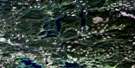
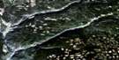
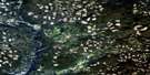
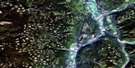
Chu Chua Creek Surrounding Area Aerial Photo Maps
 |
 |
 |
 |
 |
 |
 |
 |
 |
 |
 |
 |
 |
 |
 |
 |
© Department of Natural Resources Canada. All rights reserved.
Chu Chua Creek Gazetteer
The following places can be found on satellite image map 092P08 Chu Chua Creek:
Chu Chua Creek Satellite Image: Indian Reserves
Boulder Creek Indian Reserve 5Nekalliston Indian Reserve 2
North Thompson Indian Reserve 1
Réserve indienne Boulder Creek 5
Réserve indienne Nekalliston 2
Réserve indienne North Thompson 1
Chu Chua Creek Satellite Image: Lakes
Akehurst LakeBelcache Lake
Birch Lake
Bonaparte Lake
Caverhill Lake
Demers Lake
Dum Lake
Dunn Lake
Emar Lake
Emery Lake
Frog Lakes
Hallamore Lake
Janning Lake
Keith Lake
Latremouille Lake
Leonie Lake
Long Island Lake
Lupin Lakes
Lynn Lake
Malcolm Lake
McTaggart Lakes
Mulholland Lake
Nanak Lake
Nomans Lake
Patrick Lake
Phinetta Lake
Posby Lake
Powder Lake
Ramsay Lake
Salle Lake
Sanborn Lake
Smith Lake
Thuya Lakes
Tibbetts Lake
Chu Chua Creek Satellite Image: Mountains
Baldy MountainBonaparte Hills
Chinook Mountain
Chinook Mountains
Chu Chua Mountain
Fennell Mountains
Mount Fennell
Mount Loveway
Mount Olie
Queen Bess Ridge
Shuswap Highland
Chu Chua Creek Satellite Image: Major municipal/district area - major agglomerations
Cariboo Regional DistrictChu Chua Creek Satellite Image: Conservation areas
Chu Chua Cottonwood ParkEakin Creek Canyon Park
Eakin Creek Floodplain Park
Emar Lakes Park
High Lakes Basin Park
North Thompson Islands Park
Chu Chua Creek Satellite Image: Plains
Fraser PlateauInterior Plateau
Thompson Plateau
Chu Chua Creek Satellite Image: Rivers
Axel CreekBonaparte River
Bottrel Creek
Bryan Creek
Caverhill Creek
Chinook Creek
Chu Chua Creek
Cowell Creek
Darling Creek
Darlington Creek
Delta Creek
Demers Creek
Dum Creek
Dunn Creek
Eagle Creek
Eakin Creek
Edwin Creek
Emar Creek
Ipsoot Creek
Joseph Creek
Kikwilli Creek
Latremouille Creek
Lemieux Creek
Leonie Creek
Lindquist Creek
Machete Creek
Macheté Creek
McTaggart Creek
Montigny Creek
Nanak Creek
Nehalliston Creek
Nelson Creek
Newhykulston Creek
North Thompson River
Phinetta Creek
Powder Creek
Skowootum Creek
Spokane Creek
Sprague Creek
Stolle Creek
Teather Creek
Thuya Creek
Willow Creek
Chu Chua Creek Satellite Image: Unincorporated areas
BoulderChinook Cove
Chu Chua
Darfield
Little Fort
Mount Olie
© Department of Natural Resources Canada. All rights reserved.
092P Related Maps:
092P Bonaparte Lake092P01 Louis Creek
092P02 Criss Creek
092P03 Loon Lake
092P04 Clinton
092P05 Jesmond
092P06 Green Lake
092P07 Bridge Lake
092P08 Chu Chua Creek
092P09 Clearwater
092P10 Deka Lake
092P11 100 Mile House
092P12 Gustafsen Lake
092P13 Chimney Lake
092P14 Lac La Hache
092P15 Canim Lake
092P16 Mahood Lake
