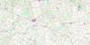
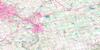
Lucknow Topo Map Online
Download Free Topo Map Sheet 040P13 at 1:50,000 scale
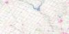
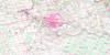
040P13 Lucknow Topo Map
To view this map, mouse over the map preview on the right.
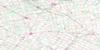
You can also download this topo map for free:
040P13 Lucknow high-resolution topo map image.
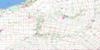
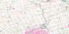
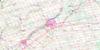
Maps for the Lucknow topo map sheet 040P13 at 1:50,000 scale are also available in these versions:
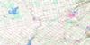
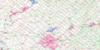
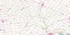
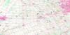
Lucknow Surrounding Area Topo Maps
 |
 |
 |
 |
 |
 |
 |
 |
 |
 |
 |
 |
 |
 |
 |
 |
© Department of Natural Resources Canada. All rights reserved.
Lucknow Gazetteer
The following places can be found on topographic map sheet 040P13 Lucknow:
Lucknow Topo Map: Bays
Quaid's BayLucknow Topo Map: Beaches
Kintail BeachLucknow Topo Map: Capes
Martin's PointWright Point
Lucknow Topo Map: Geographical areas
AshfieldBruce
Colborne
East Wawanosh
Goderich
Hullett
Huron
Huron
Kinloss
Wawanosh
West Wawanosh
Lucknow Topo Map: Hydraulic construction
Ackert DrainHenderson Drain
Kirk Drain
Young Drain
Lucknow Topo Map: Islands
Ship IslandLucknow Topo Map: Lakes
Lac HuronLake Huron
Mud Lake
Lucknow Topo Map: Major municipal/district area - major agglomerations
BruceHuron
Lucknow Topo Map: Other municipal/district area - miscellaneous
AshfieldAshfield-Colborne-Wawanosh
Central Huron
Colborne
East Wawanosh
Goderich
Hullett
Huron
Huron-Kinloss
Kinloss
North Huron
West Wawanosh
Lucknow Topo Map: Conservation areas
Point Farms Provincial ParkLucknow Topo Map: Rivers
Allans CreekBlyth Brook
Boundary Creek
Dickeys Creek
Dickies Creek
Griffins Creek
Kerrys Creek
Lucknow River
Maitland River
Nine Mile River
Sharp Creek
Sharpes Creek
St. Augustine Creek
St. Helens Creek
Lucknow Topo Map: Towns
GoderichLucknow Topo Map: Unincorporated areas
AuburnBelfast
Bogies Beach
Carlow
Crewe
Dungannon
Dunlop
Kingsbridge
Kintail
Lanes
Lothian
Loyal
Lucknow
Mafeking
Manchester
Meneset
Nile
Port Albert
Prosperity
Saltford
Saratoga
Sheppardton
St. Augustine
St. Helens
Sunset Beach
Zion
Lucknow Topo Map: Low vegetation
Saratoga Swamp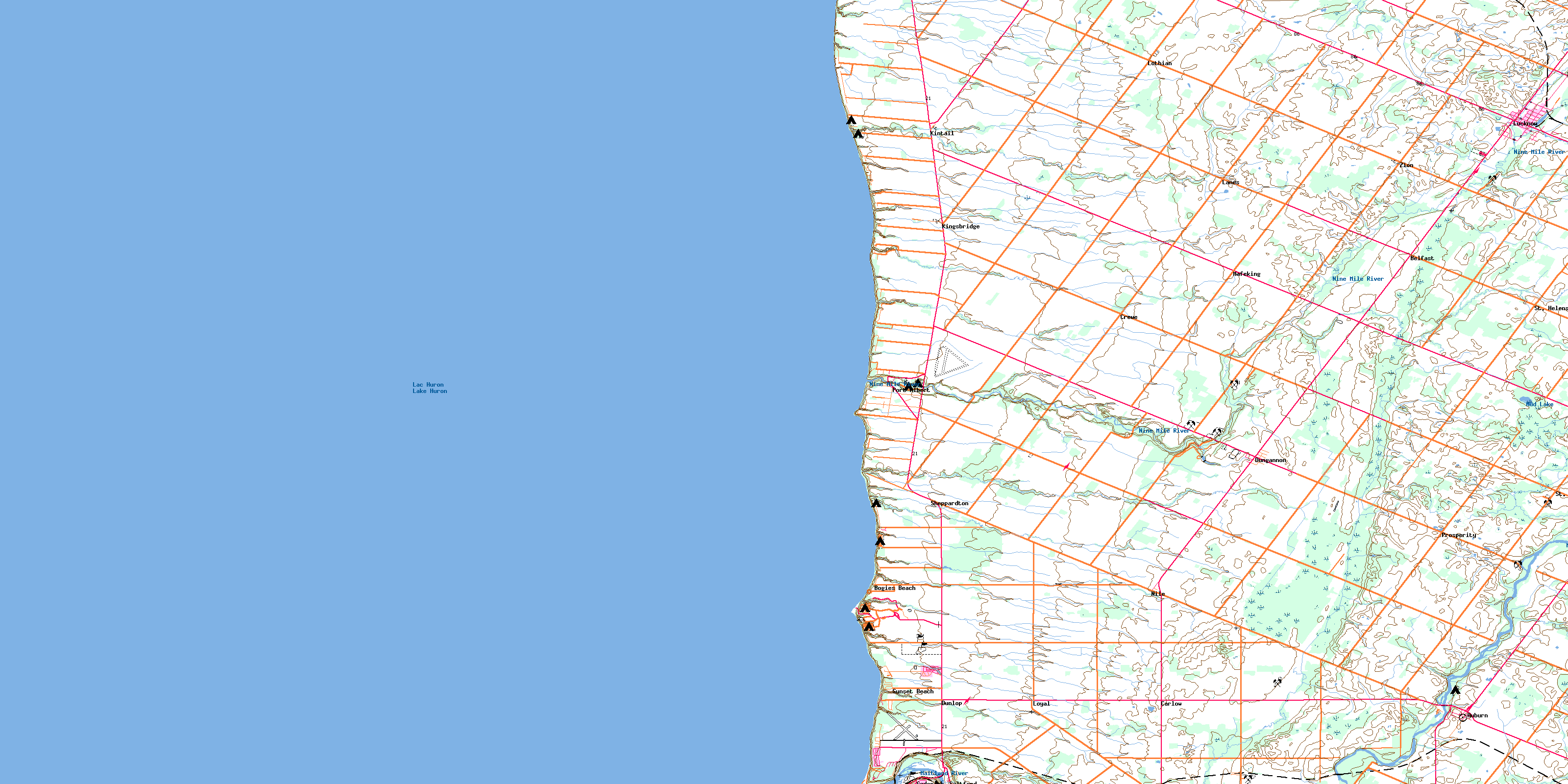
© Department of Natural Resources Canada. All rights reserved.
