Lucan Topo Map Online
Download Free Topo Map Sheet 040P03 at 1:50,000 scale
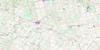
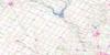
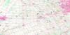
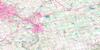
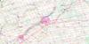
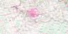
040P03 Lucan Topo Map
To view this map, mouse over the map preview on the right.
You can also download this topo map for free:
040P03 Lucan high-resolution topo map image.
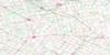
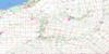
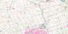
Maps for the Lucan topo map sheet 040P03 at 1:50,000 scale are also available in these versions:
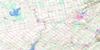
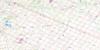
Lucan Surrounding Area Topo Maps
 |
 |
 |
 |
 |
 |
 |
 |
 |
 |
 |
 |
 |
 |
 |
 |
© Department of Natural Resources Canada. All rights reserved.
Lucan Gazetteer
The following places can be found on topographic map sheet 040P03 Lucan:
Lucan Topo Map: City
LondonLucan Topo Map: Geographical areas
BiddulphBlanshard
Dorchester
East Nissouri
East Oxford
East Zorra
Lobo
London
McGillivray
Middlesex
Nissouri
North Oxford
Oxford
Oxford
Perth
West Nissouri
West Oxford
West Zorra
Williams
Zorra
Lucan Topo Map: Hydraulic construction
Caddy-Bott DrainGovernment Drain
Lucan Topo Map: Lakes
Fanshawe LakeSunova Lake
Wildwood Lake
Lucan Topo Map: Military areas
Champ de manoeuvre Fanshawe DamFanshawe Dam Training Area
Lucan Topo Map: Mountains
Cobble HillsLucan Topo Map: Major municipal/district area - major agglomerations
MiddlesexOxford
Perth
Lucan Topo Map: Other municipal/district area - miscellaneous
BiddulphBlanshard
Delaware
Dorchester
Downie
East Nissouri
East Williams
Lobo
London
Lucan Biddulph
McGillivray
Middlesex Centre
Nissouri
Nissouri
North Dorchester
North Middlesex
North Oxford
Perth South
Thames Centre
West Nissouri
West Williams
West Zorra
Williams
Zorra
Lucan Topo Map: Conservation areas
Coldstream Conservation AreaFanshawe Conservation Area
Fish Creek Conservation Area
Lucan Conservation Area
Wildwood Conservation Area
Lucan Topo Map: Rivers
Caddy CreekFish Creek
Gold Creek
Gregory Creek
Little Ausable River
Medway Creek
Medway River
Middle Thames River
Nairn Creek
Nineteen Creek
North Thames River
Oxbow Creek
Pottersburg Creek
Pottersburg Creek
Springers Creek
Stoney Creek
Sydenham River
Trout Creek
Waubuno Creek
Wye Creek
Lucan Topo Map: Towns
St. MarysSt. Mary's
Westminster
Lucan Topo Map: Unincorporated areas
ArvaBallymote
Belton
Birr
Broughdale
Brown's Corners
Bryanston
Calamity Corners
Carlisle
Cherry Grove
Clandeboye
Cobble Hill
Coldstream
Crumlin
Denfield
Devizes
Duncrief
Elginfield
Ettrick
Evelyn
Fairfield
Fallon
Fanshawe
Friendly Corners
Geary Corners
Granthurst
Granton
Greystead
Henshaw Corners
Huron Heights
Hyde Park
Ilderton
Ivan
Kelly Station
Kintore
Lakeside
Leesboro
Lind
Lobo
Lucan
Lucan Crossing
Maple Grove
Maple Lodge
Masonville
McWilliams
Medina
Medway Heights
Melrose
Mooresville
Nelson Park
Nissouri
Northcrest
Northdale
Oliver
Orchard Park
Pasadena
Plover Mills
Pottersburg
Prospect Hill
Rebecca
Salmonville
Sherwood Forest
Southgate
St. Ives
Stoneybrook
Telfer
Thamesford
The Grove
Thorndale
Three Bridges
Uniondale
Uplands
Vanneck
Wellburn
White Hills
Wildwood
Wyton Station
Lucan Topo Map: Villages
Falkirk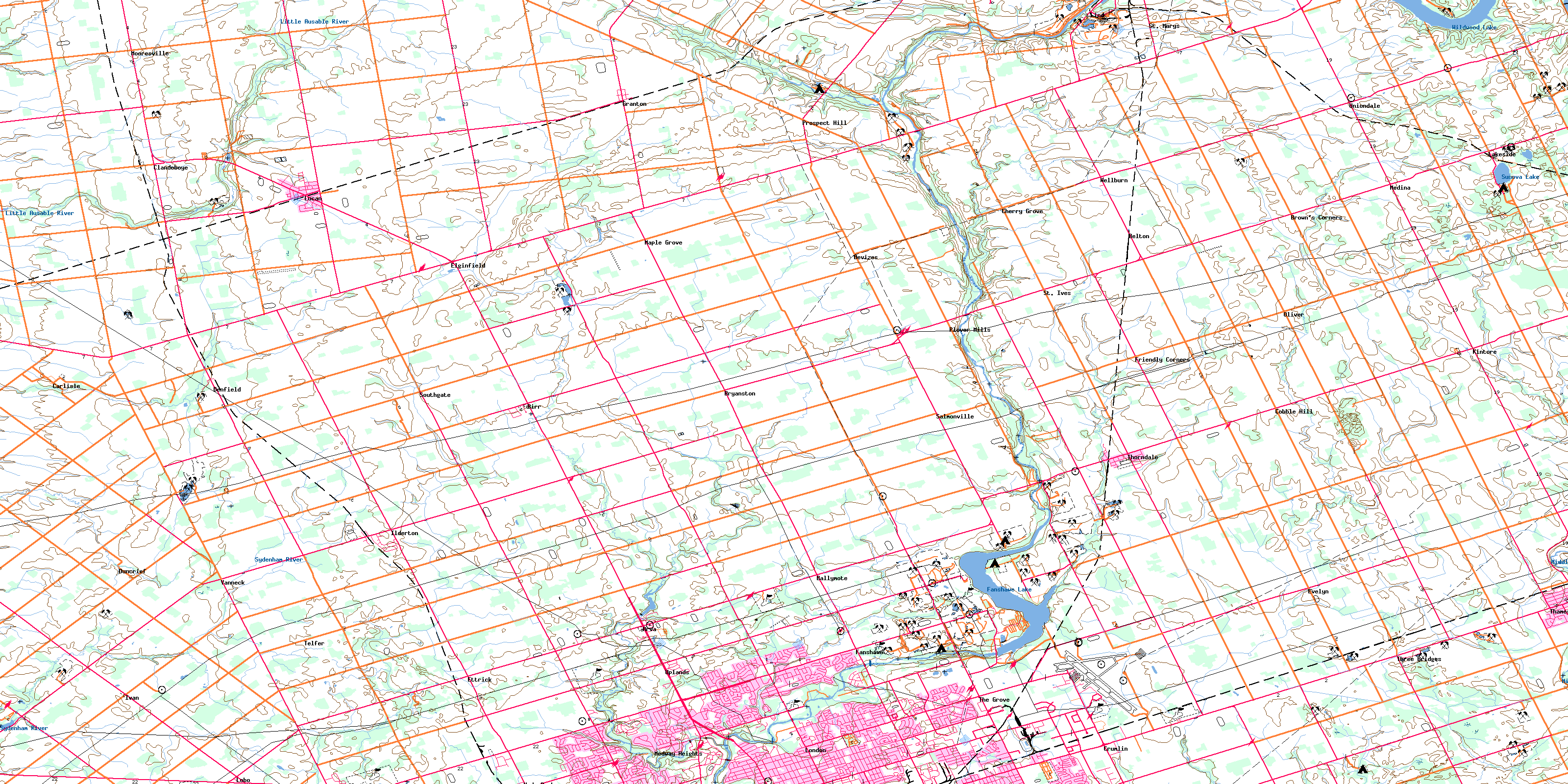
© Department of Natural Resources Canada. All rights reserved.
