St Marys Topo Map Online
Download Free Topo Map Sheet 040P06 at 1:50,000 scale
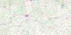
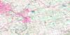
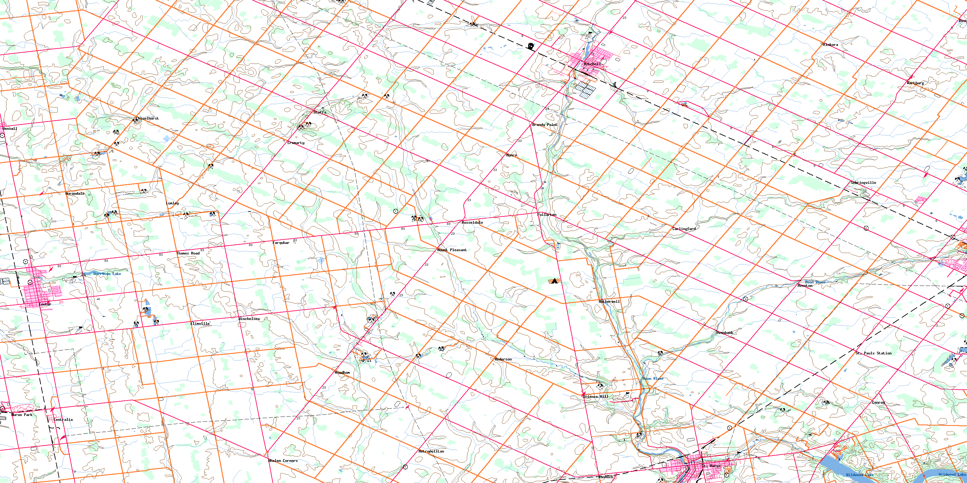
040P06 St Marys Topo Map
To view this map, mouse over the map preview on the right.
You can also download this topo map for free:
040P06 St Marys high-resolution topo map image.
Maps for the St Marys topo map sheet 040P06 at 1:50,000 scale are also available in these versions:
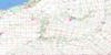
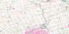
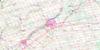
St Marys Surrounding Area Topo Maps
 |
 |
 |
 |
 |
 |
 |
 |
 |
 |
 |
 |
 |
 |
 |
 |
© Department of Natural Resources Canada. All rights reserved.
St Marys Gazetteer
The following places can be found on topographic map sheet 040P06 St Marys:
St Marys Topo Map: City
StratfordSt Marys Topo Map: Geographical areas
BiddulphBlanshard
Downie
East Nissouri
East Zorra
Ellice
Fullarton
Hay
Hibbert
Huron
Logan
McGillivray
Middlesex
Nissouri
Oxford
Perth
Stephen
Tuckersmith
Usborne
West Nissouri
West Zorra
Zorra
St Marys Topo Map: Hydraulic construction
Broadfoot DrainCook Drain
Hooper Drain
Mahaffy Drain
McGrath Drain
St. Pauls Drain
Tyndall Drain
St Marys Topo Map: Lakes
Morrison LakeWildwood Lake
St Marys Topo Map: Mountains
Seebach HillSt Marys Topo Map: Major municipal/district area - major agglomerations
HuronMiddlesex
Oxford
Perth
St Marys Topo Map: Other municipal/district area - miscellaneous
BiddulphBlanshard
Downie
East Williams
Ellice
Fullarton
Grey
Hay
Hay
Hibbert
Logan
Lucan Biddulph
McGillivray
McKillop
Mornington
North Easthope
North Middlesex
Perth East
Perth East
Perth South
South Easthope
Stanley
Stephen
Tuckersmith
Usborne
West Perth
West Williams
Williams
Zorra
St Marys Topo Map: Conservation areas
Wildwood Conservation AreaSt Marys Topo Map: Rivers
Ausable RiverAvon River
Bannockburn River
Bayfield River
Black Creek
Black Creek
Fish Creek
Flat Creek
Liffy Ditch
Little Ausable River
Nineteen Creek
North Thames River
Otter Creek
Trout Creek
Whirl Creek
St Marys Topo Map: Towns
BluewaterHuron East
South Huron
St. Marys
St. Mary's
St Marys Topo Map: Unincorporated areas
AndersonAvonbank
Avonton
Brandy Point
Carlingford
Centralia
Chiselhurst
Conroy
Cromarty
Dublin
Elimville
Exeter
Farquhar
Fullarton
Hay
Hensall
Huron Park
Hurondale
Kinkora
Kirkton
Lind
Lumley
Metropolitan
Mitchell
Motherwell
Mount Pleasant
Munro
Rannoch
Rostock
Russeldale
Science Hill
Sebringville
St. Marys Junction
St. Pauls Station
Staffa
Thames Road
Wartburg
Whalen Corners
Winchelsea
Woodham
© Department of Natural Resources Canada. All rights reserved.
