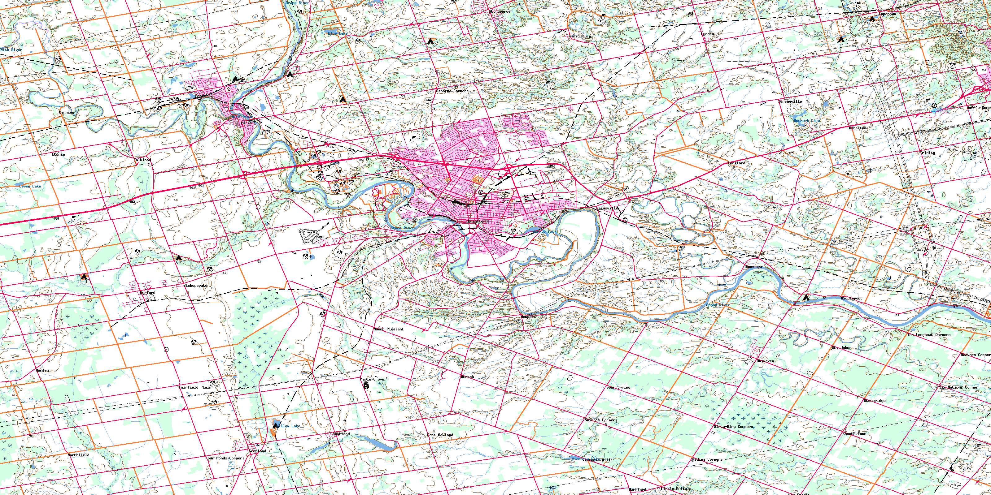
Brantford Topo Map Online
Download Free Topo Map Sheet 040P01 at 1:50,000 scale
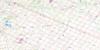
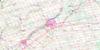
040P01 Brantford Topo Map
To view this map, mouse over the map preview on the right.
You can also download this topo map for free:
040P01 Brantford high-resolution topo map image.
Maps for the Brantford topo map sheet 040P01 at 1:50,000 scale are also available in these versions:
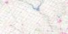
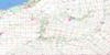
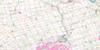
Brantford Surrounding Area Topo Maps
 |
 |
 |
 |
 |
 |
 |
 |
 |
 |
 |
 |
 |
 |
 |
 |
© Department of Natural Resources Canada. All rights reserved.
Brantford Gazetteer
The following places can be found on topographic map sheet 040P01 Brantford:
Brantford Topo Map: City
BrantBrantford
Brant-on-the-Grand
Haldimand
Haldimand County
Hamilton
Nanticoke
Nanticoke
Norfolk
Norfolk County
Brantford Topo Map: Cliffs
Niagara EscarpmentBrantford Topo Map: Geographical areas
AncasterBeverly
Blenheim
Brant
Brantford
Burford
Dumfries
Haldimand
Norfolk
North Dumfries
Oakland
Oneida
Onondaga
Oxford
Seneca
South Dumfries
Townsend
Tuscarora
Walpole
Wentworth
Windham
Brantford Topo Map: Hydraulic construction
Bennett DrainElliott Drain
Harley Drain
Hatchley Drain
Kent Drain
Lewis Drain
Lowes-Amey Drain
Martin Drain
Schofield Drain
Brantford Topo Map: Indian Reserves
Glebe Farm 40BGlebe Farm Indian Reserve 40B
New Credit Indian Reserve 40A
Réserve indienne Glebe Farm 40B
Réserve indienne New Credit 40A
Réserve indienne Six Nations 40
Six Nations 40
Six Nations Indian Reserve 40
Brantford Topo Map: Islands
Grand IslandKerby Island
Brantford Topo Map: Lakes
Blue LakeBlue Lakes
Dunmark Lake
Levey Lake
Mohawk Lake
O'neals Pond
Smiths Mill Pond
Victoria Lake
Vivians Pond
Watts Pond
Willow Lake
Brantford Topo Map: Major municipal/district area - major agglomerations
BrantHaldimand
Haldimand-Norfolk
Hamilton-Wentworth
Norfolk
Oxford
Wentworth
Brantford Topo Map: Other municipal/district area - miscellaneous
AncasterBeverly
Binbrook
Blandford-Blenheim
Blenheim
Brantford
Burford
Canborough
Charlotteville
Delhi
Dumfries
Dunn
Glanbrook
Glanford
Houghton
Middleton
Moulton
Norfolk
North Cayuga
North Walsingham
Oakland
Oneida
Onondaga
Rainham
Seneca
Sherbrooke
South Cayuga
South Dumfries
South Walsingham
Townsend
Walpole
Walsingham
Windham
Woodhouse
Brantford Topo Map: Rivers
Big CreekBig Creek
Blue Creek
Boston Creek
Charlie Creek
D'Aubigny Creek
Fairchild Creek
Grand River
Horner Creek
Kenny Creek
McKenzie Creek
Montours Creek
Moses Creek
Mud Creek
Nith River
Paper Mill Creek
Sour Spring Creek
Spring Creek
Spring Creek
Sulphur Creek
Whitemans Creek
Brantford Topo Map: River features
The OxbowBrantford Topo Map: Towns
DunnvilleHaldimand
Brantford Topo Map: Unincorporated areas
AlbertonAncaster
Beavers Corner
Bishopgate
Bishopsgate
Blue Lake
Burford
Burtch
Cainsville
Canning
Churches
Conboyville
Copetown
Duffs Corner
Duff's Corners
Eagle Place
Eagles Nest
East Oakland
Echo Place
Etonia
Fairfield Plain
Fairview
Falkland
Flamborough
Four Ponds Corners
Harley
Harrisburg
Hartford
Holmedale
Jerseyville
Langford
Little Buffalo
Lynden
Maple Grove
Medina Corners
Middleport
Mineral Springs
Mount Pleasant
Mount Vernon
Mount Vernon Station
New Credit
Newport
Northfield
Northfield Centre
Oakland
Ohsweken
Onondaga
Osborne Corners
Paris
Paris Station
Pleasant Ridge
Scotland
Six Nations Corner
Sixty Nine Corners
Sixty-Nine Corners
Smith Corner
Smith's Corners
Smooth Town
Sour Spring
St. George
St. George Brant
St. Johns
Stoneridge
Summit
Terrace Hill
Tom Longboat Corners
Tranquility
Trinity
Tutela
Tutela Heights
Victoria Mills
Weir
West Brant
Willow Grove Station
Wyndham Hills
Brantford Topo Map: Valleys
Dundas ValleyBrantford Topo Map: Low vegetation
Curran's SwampHatchley Swamp
Oakland Swamp
© Department of Natural Resources Canada. All rights reserved.
