Grand Bend Topo Map Online
Download Free Topo Map Sheet 040P05 at 1:50,000 scale
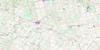
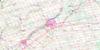
040P05 Grand Bend Topo Map
To view this map, mouse over the map preview on the right.
You can also download this topo map for free:
040P05 Grand Bend high-resolution topo map image.
Maps for the Grand Bend topo map sheet 040P05 at 1:50,000 scale are also available in these versions:
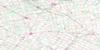
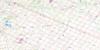
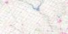
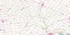
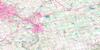
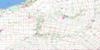
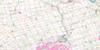
Grand Bend Surrounding Area Topo Maps
 |
 |
 |
 |
 |
 |
 |
 |
 |
 |
 |
 |
 |
 |
 |
 |
© Department of Natural Resources Canada. All rights reserved.
Grand Bend Gazetteer
The following places can be found on topographic map sheet 040P05 Grand Bend:
Grand Bend Topo Map: Capes
Dewey PointGrand Bend Topo Map: Channels
Old Ausable ChannelGrand Bend Topo Map: City
Lambton ShoresGrand Bend Topo Map: Geographical areas
BosanquetHay
Huron
Lambton
McGillivray
Middlesex
Stanley
Stephen
Tuckersmith
Grand Bend Topo Map: Lakes
Lac HuronLake Huron
Smith Lake
Grand Bend Topo Map: Major municipal/district area - major agglomerations
HuronLambton
Middlesex
Grand Bend Topo Map: Other municipal/district area - miscellaneous
East WilliamsGrey
Hay
McGillivray
McKillop
North Middlesex
Plympton
Stanley
Stephen
Tuckersmith
Usborne
Warwick
West Williams
Williams
Grand Bend Topo Map: Conservation areas
The Pinery Provincial ParkThe Pinery Provincial Park Flood-Plain Wilderness Area
The Pinery Provincial Park Forest Wilderness Area
The Pinery Provincial Park Shore Wilderness Area
Grand Bend Topo Map: Rivers
Ausable RiverBannockburn River
Black Creek
Mud Creek
Parkhill Creek
Grand Bend Topo Map: Shoals
Cantin ShoalGrand Bend Topo Map: Towns
BluewaterBosanquet
Huron East
South Huron
Grand Bend Topo Map: Unincorporated areas
Beach O'PinesBlake
Crediton
Dashwood
Drysdale
Goshen
Grand Bend
Harpley
Hensall
Hills Green
Khiva
Kippen
Mount Carmel
Shipka
Southcott Pines
St. Joseph
Zurich
Grand Bend Topo Map: Low vegetation
Thedford Marsh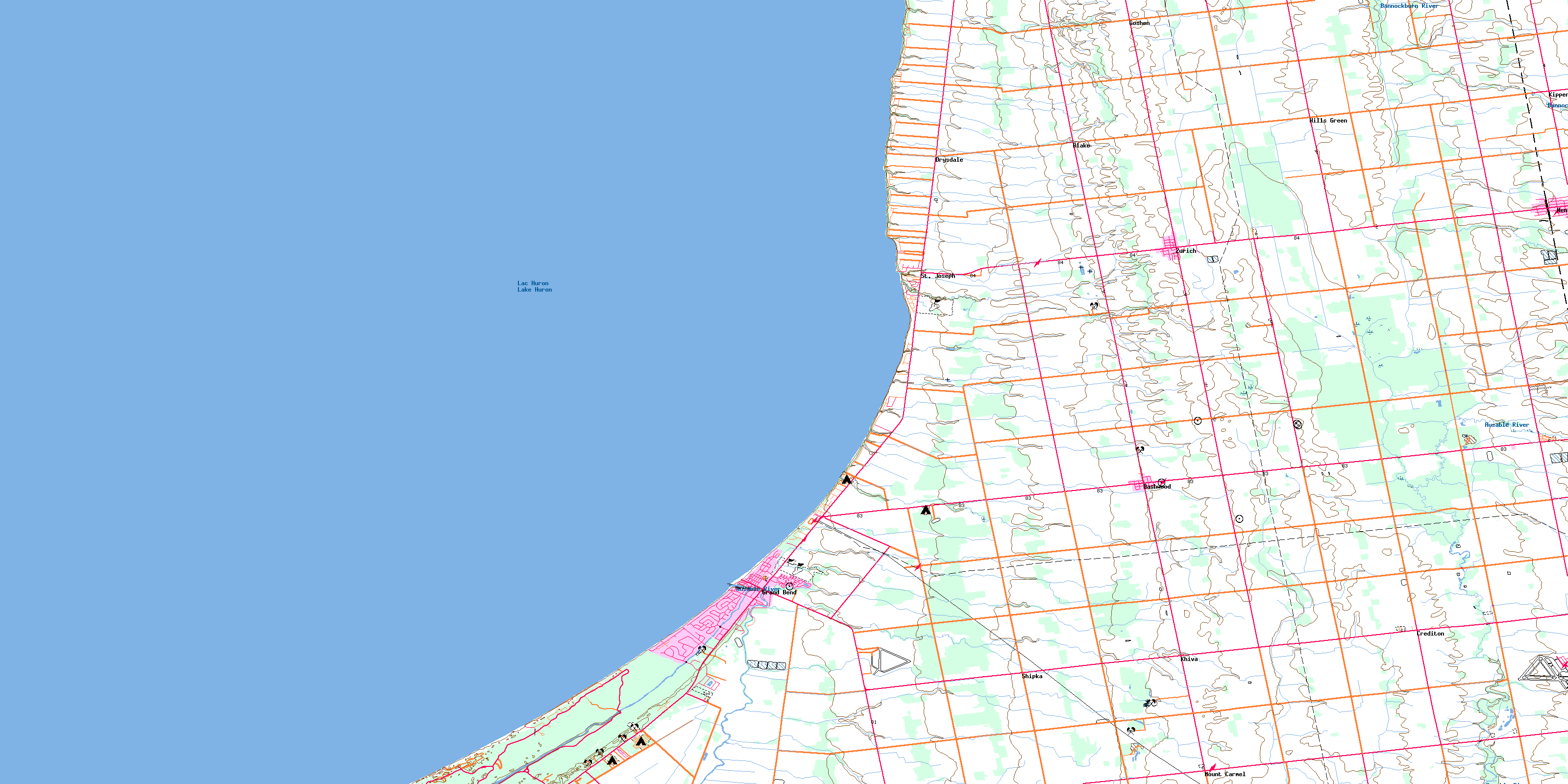
© Department of Natural Resources Canada. All rights reserved.
