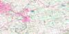
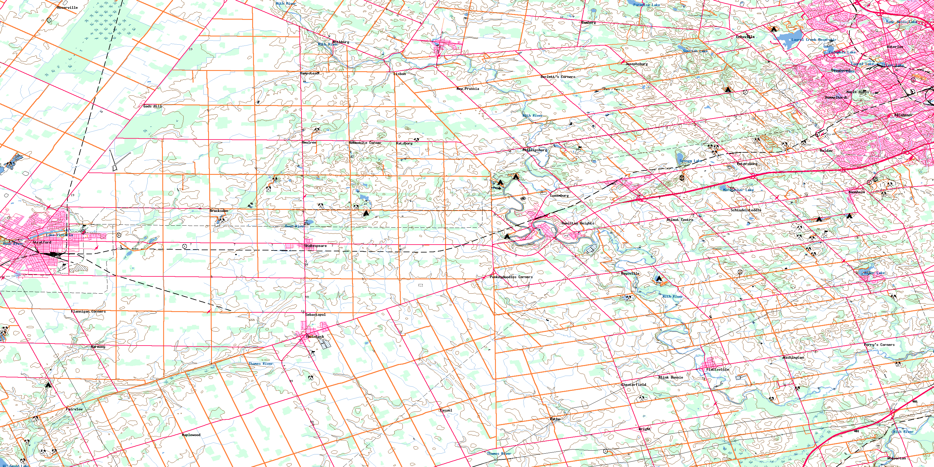
Stratford Topo Map Online
Download Free Topo Map Sheet 040P07 at 1:50,000 scale
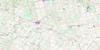
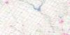
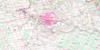
040P07 Stratford Topo Map
To view this map, mouse over the map preview on the right.
You can also download this topo map for free:
040P07 Stratford high-resolution topo map image.
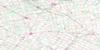
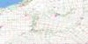
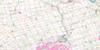
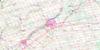
Maps for the Stratford topo map sheet 040P07 at 1:50,000 scale are also available in these versions:
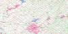
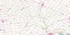
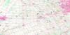
Stratford Surrounding Area Topo Maps
 |
 |
 |
 |
 |
 |
 |
 |
 |
 |
 |
 |
 |
 |
 |
 |
© Department of Natural Resources Canada. All rights reserved.
Stratford Gazetteer
The following places can be found on topographic map sheet 040P07 Stratford:
Stratford Topo Map: City
BerlinKitchener
Stratford
Waterloo
Stratford Topo Map: Geographical areas
BlandfordBlenheim
Downie
East Zorra
Ellice
North Easthope
Oxford
Perth
South Easthope
Waterloo
Waterloo
Wellesley
West Zorra
Wilmot
Woolwich
Zorra
Stratford Topo Map: Hydraulic construction
Central DrainHislop Drain
Shakespeare Drain
Stratford Topo Map: Lakes
Alder LakeClair Lake
Columbia Lake
Forwells Lake
Four Wells Lake
Hofstetter Lake
Lake Victoria
Laurel Creek Reservoir
Laurel Lake
McCarthy Lake
Paradise Lake
Shakespeare Pond
Silver Lake
Spongy Lake
Sunfish Lake
Wildwood Lake
Stratford Topo Map: Mountains
Baden HillsWolverton Mountain
Stratford Topo Map: Major municipal/district area - major agglomerations
OxfordPerth
Waterloo
Stratford Topo Map: Other municipal/district area - miscellaneous
BlandfordBlandford-Blenheim
Blanshard
Blenheim
Downie
East Zorra
East Zorra-Tavistock
Ellice
Mornington
North Dumfries
North Easthope
Perth East
Perth East
Perth South
South Easthope
Waterloo
Wellesley
Wilmot
Woolwich
Zorra
Stratford Topo Map: Conservation areas
Wildwood Conservation AreaStratford Topo Map: Rivers
Alder CreekAvon River
Baden Creek
Bamberg Creek
Black Creek
Black Creek
Black Creek
Black River
Cedar Creek
Clair Creek
Detweiler Creek
Erb Creek
Firella Creek
Forwell Creek
Henry Sturm Creek
Hiller Creek
Horner Creek
Hunsburger Creek
Laurel Creek
Maple Hills Creek
Martin Creek
Nith River
North Branch Creek
Phelan Creek
Rivière Thames
Sandrock Creek
Schneider Creek
Shoemaker Creek
Silver Creek
Silver Spring Creek
Thames River
Trout Creek
Washington Creek
Wilmot Creek
Stratford Topo Map: Unincorporated areas
AmulreeBaden
Bamberg
Beechwood
Berlets Corner
Berlett's Corners
Blink Bonnie
Bright
Brocksden
Cassel
Chesterfield
Erbsville
Fairview
Flannigan Corners
Forest Heights
Forest Hills
Gads Hill
Gads Hill Station
Hamilton Heights
Hampstead
Harmony
Haysville
Josephsburg
Kingsdale
Lakeshore Village
Laurentian Hills
Lisbon
Luxemburg
Mannheim
Maple Hills
Maplewood
Mennonite Corner
Moserville
New Dundee
New Hamburg
New Prussia
Nithburg
Perry's Corners
Petersburg
Phillipsburg
Plattsville
Punkeydoodles Corners
Ratho
Ratzburg
Rummelhardt
Schindelsteddle
Sebastopol
Shakespeare
St. Agatha
Tavistock
Victoria Hills
Waldau
Washington
Wellesley
Westmount
Wilmot Centre
Wolverton
Stratford Topo Map: Low vegetation
Ellice MarshEllice Swamp
© Department of Natural Resources Canada. All rights reserved.
