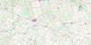
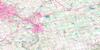
Parkhill Topo Map Online
Download Free Topo Map Sheet 040P04 at 1:50,000 scale
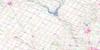
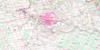
040P04 Parkhill Topo Map
To view this map, mouse over the map preview on the right.
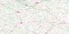
You can also download this topo map for free:
040P04 Parkhill high-resolution topo map image.
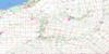
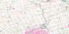
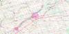
Maps for the Parkhill topo map sheet 040P04 at 1:50,000 scale are also available in these versions:
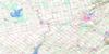
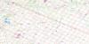
Parkhill Surrounding Area Topo Maps
 |
 |
 |
 |
 |
 |
 |
 |
 |
 |
 |
 |
 |
 |
 |
 |
© Department of Natural Resources Canada. All rights reserved.
Parkhill Gazetteer
The following places can be found on topographic map sheet 040P04 Parkhill:
Parkhill Topo Map: Beaches
Ipperwash BeachParkhill Topo Map: Capes
Stony PointParkhill Topo Map: Channels
Old Ausable ChannelParkhill Topo Map: City
Lambton ShoresParkhill Topo Map: Geographical areas
AdelaideBosanquet
Caradoc
East Williams
Huron
Lambton
Lobo
McGillivray
Metcalfe
Middlesex
Stephen
Warwick
West Williams
Williams
Parkhill Topo Map: Hydraulic construction
Duffus DrainParkhill Topo Map: Indian Reserves
Kettle Point Indian Reserve 44Réserve indienne Kettle Point 44
Parkhill Topo Map: Lakes
Lac HuronLake Huron
Smith Lake
Parkhill Topo Map: Marine navigation features
The CutParkhill Topo Map: Military areas
Champ de tir et champ de manoeuvre IpperwashIpperwash Range and Training Area
Parkhill Topo Map: Major municipal/district area - major agglomerations
HuronLambton
Middlesex
Parkhill Topo Map: Other municipal/district area - miscellaneous
AdelaideAdelaide Metcalfe
Caradoc
Delaware
East Williams
Lobo
London
McGillivray
Metcalfe
Middlesex Centre
North Middlesex
Plympton
Stephen
Strathroy-Caradoc
Usborne
Warwick
Warwick
West Williams
Williams
Parkhill Topo Map: Conservation areas
Coldstream Conservation AreaIpperwash Provincial Park
Parkhill Conservation Area
Port Franks Conservation Area
Rock Glen Conservation Area
The Pinery Provincial Park
The Pinery Provincial Park Dune Forest Wilderness Area
Thedford Conservation Area
Warwick Conservation Area
Parkhill Topo Map: Rivers
Aberarder CreekAdelaide Creek
Ausable River
Bear Creek
Brown Creek
Decker Creek
Golden Creek
Hickory Creek
Hickory Creek
Highland Creek
Jericho Creek
Little Ausable River
Moray Creek
Mud Creek
Mud Creek
Mud Creek
Mud Creek
Nairn Creek
Parkhill Creek
Parkhill Creek
Shashawandah Creek
Sydenham River
The Old River Bed
The Ptsebe
Parkhill Topo Map: River features
Devil's ElbowParkhill Topo Map: Towns
BosanquetSouth Huron
Parkhill Topo Map: Unincorporated areas
AdelaideAilsa Craig
Amiens
Arkona
Beechwood
Birnam
Bornish
Bowood
Brinsley
Coldstream
Corbett
Crathie
Dejong
Fernhill
Forest
Fort Rose
Greenway
Hickory Corner
Hutchinson
Ipperwash Beach
Jericho
Jura
Keyser
Kinnaird
Lieury
Maguire
McInnes
Moray
Nairn
Parkhill
Poplar Hill
Port Franks
Ravenswood
Sable
Springbank
Springvale
Sylvan
Thedford
Walden Place
Walker Woods
Warwick
West McGillivray
Wisbeach
Wrightmans Corners
Parkhill Topo Map: Valleys
Hungry HollowParkhill Topo Map: Low vegetation
Thedford Marsh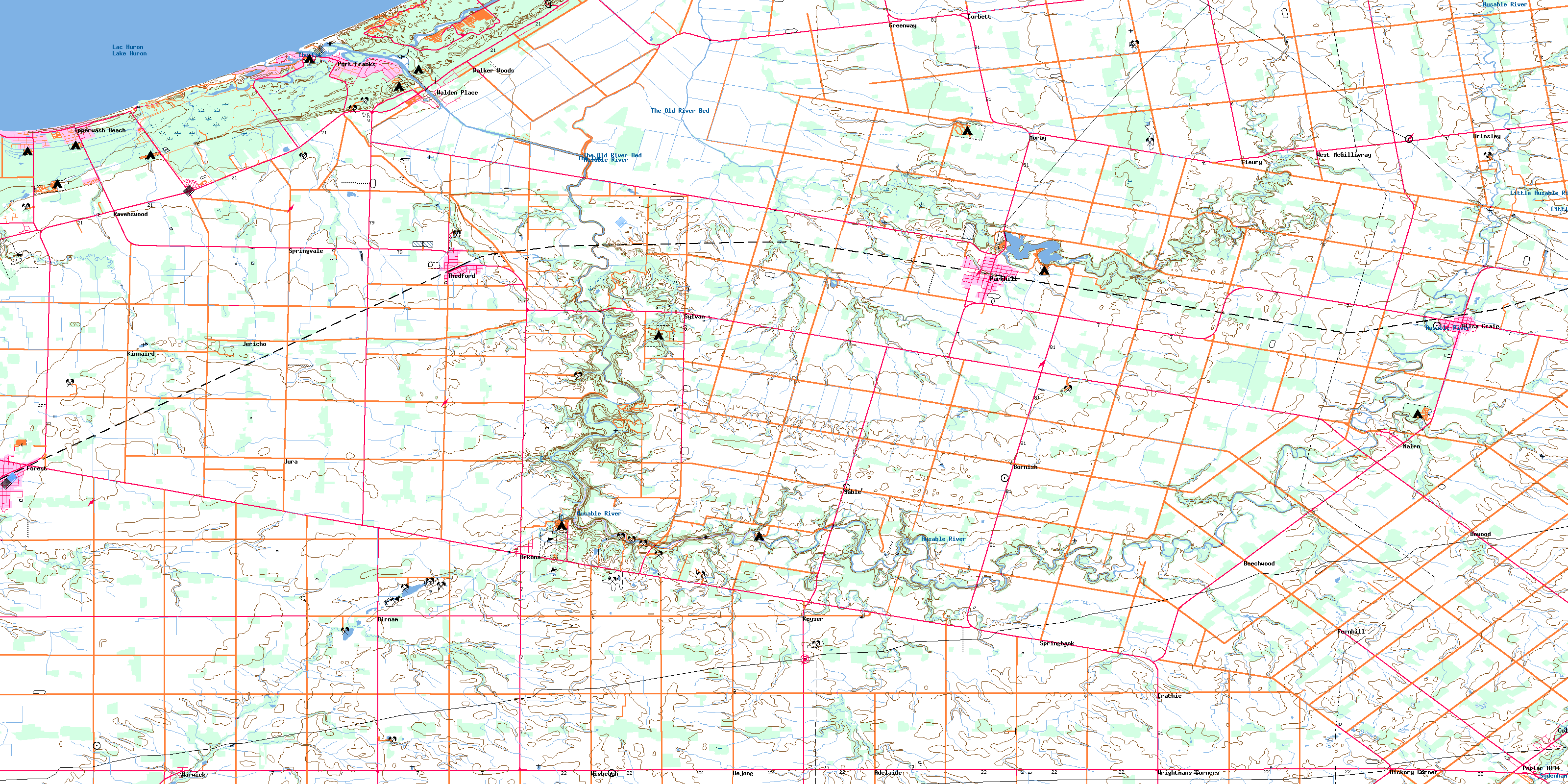
© Department of Natural Resources Canada. All rights reserved.
