Dundalk Topo Map Online
Download Free Topo Map Sheet 041A01 at 1:50,000 scale
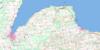
041A01 Dundalk Topo Map
To view this map, mouse over the map preview on the right.
You can also download this topo map for free:
041A01 Dundalk high-resolution topo map image.
Maps for the Dundalk topo map sheet 041A01 at 1:50,000 scale are also available in these versions:
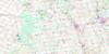
Dundalk Surrounding Area Topo Maps
 |
 |
 |
|
 |
 |
 |
|
 |
 |
 |
 |
 |
 |
 |
 |
© Department of Natural Resources Canada. All rights reserved.
Dundalk Gazetteer
The following places can be found on topographic map sheet 041A01 Dundalk:
Dundalk Topo Map: Geographical areas
AmaranthArtemesia
Dufferin
East Luther
Grey
Luther
Melancthon
Mono
Mulmur
Osprey
Proton
Simcoe
Tosorontio
Wellington
West Luther
Dundalk Topo Map: Lakes
Lake InistiogeMcCarston's Lake
Springwater Lakes
Dundalk Topo Map: Mountains
Black Bank HillMill Hill
Mono Hills
Mulmur Hills
Oak Ridges
Sheldon Hill
Violet Hill
Dundalk Topo Map: Major municipal/district area - major agglomerations
DufferinGrey
Simcoe
Wellington
Dundalk Topo Map: Other municipal/district area - miscellaneous
Adjala-TosorontioAmaranth
Amaranth
Artemesia
Arthur
East Luther Grand Valley
Egremont
Euphrasia
Grey Highlands
Luther
Mapleton
Melancthon
Melancthon
Mount Forest/Arthur/West Luther/Arthur
Mulmur
Osprey
Proton
Southgate
Wellington North
West Garafraxa
West Luther
Dundalk Topo Map: Conservation areas
Boyne Valley Provincial ParkHockley Valley Provincial Nature Reserve
Luther Marsh Conservation Area
Mono Cliffs Provincial Park
Noisy River Provincial Nature Reserve
Dundalk Topo Map: Rivers
Boyne RiverGrand River
Lisle Creek
Noisy River
Nottawasaga River
Pine River
Saugeen River
Sheldon Creek
South Saugeen River
Walker's Creek
Willow Brook
Dundalk Topo Map: Towns
MonoShelburne
Dundalk Topo Map: Unincorporated areas
Black BankBlacks Corners
Camilla
Conover
Corbetton
Crombie
Crombies
Dundalk
Earnscliffe
Elba
Elder
Granger
Honeywood
Horning's Mills
Jessopville
Keldon
Kilgorie
Kingscote
Mansfield
Maple Grove
Melancthon
Mono Centre
Mulmur
Perm
Primrose
Proton Station
Redickville
Relessey
Riverview
Ruskview
Shrigley
Signet
Springwater Lakes
Stanton
Terra Nova
Ventry
Violet Hill
Wareham
Wesley
Whitfield
Dundalk Topo Map: Valleys
Hockley ValleyDundalk Topo Map: Low vegetation
Luther MarshDundalk Topo Map: Villages
Shelbourne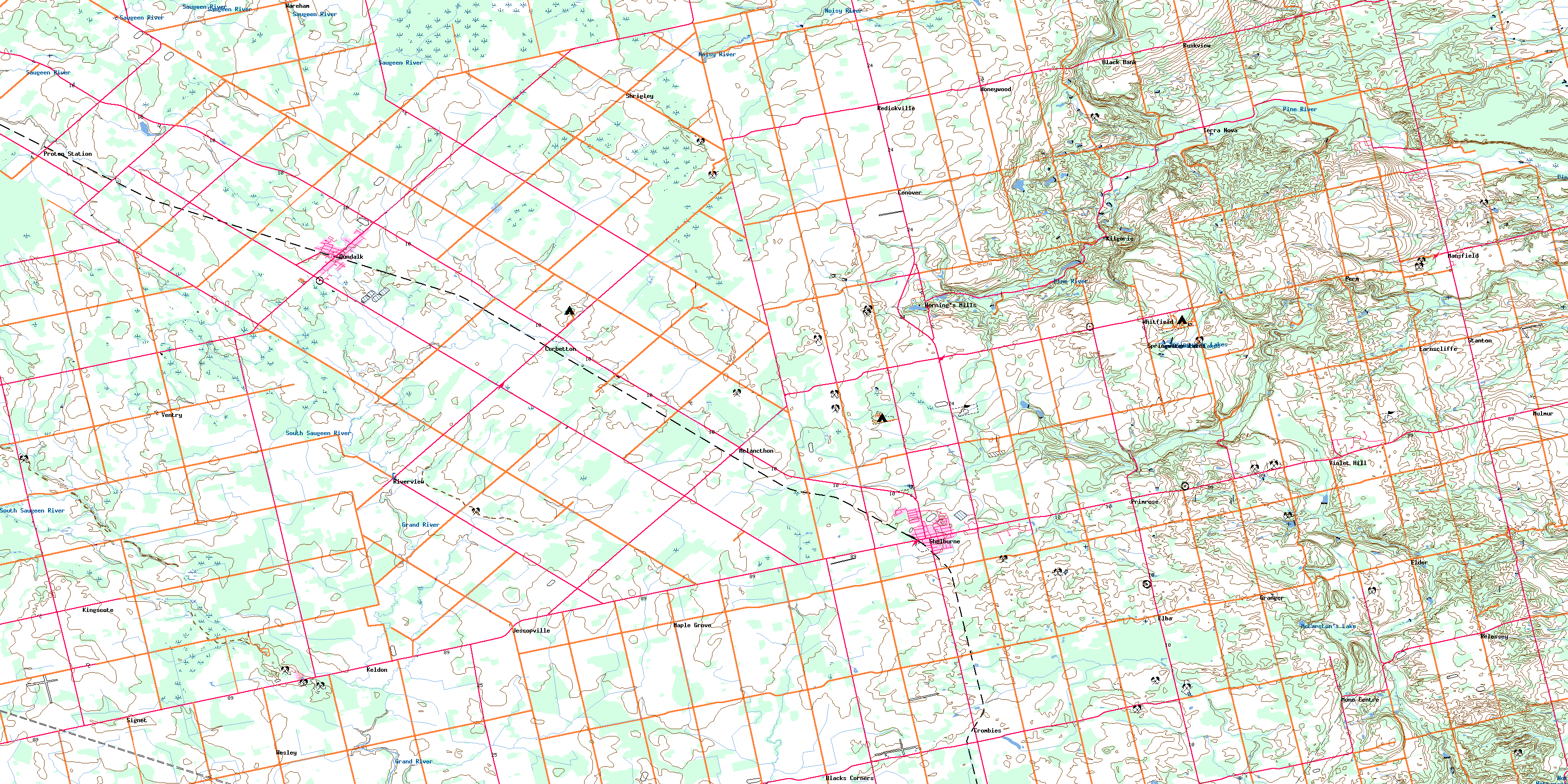
© Department of Natural Resources Canada. All rights reserved.
