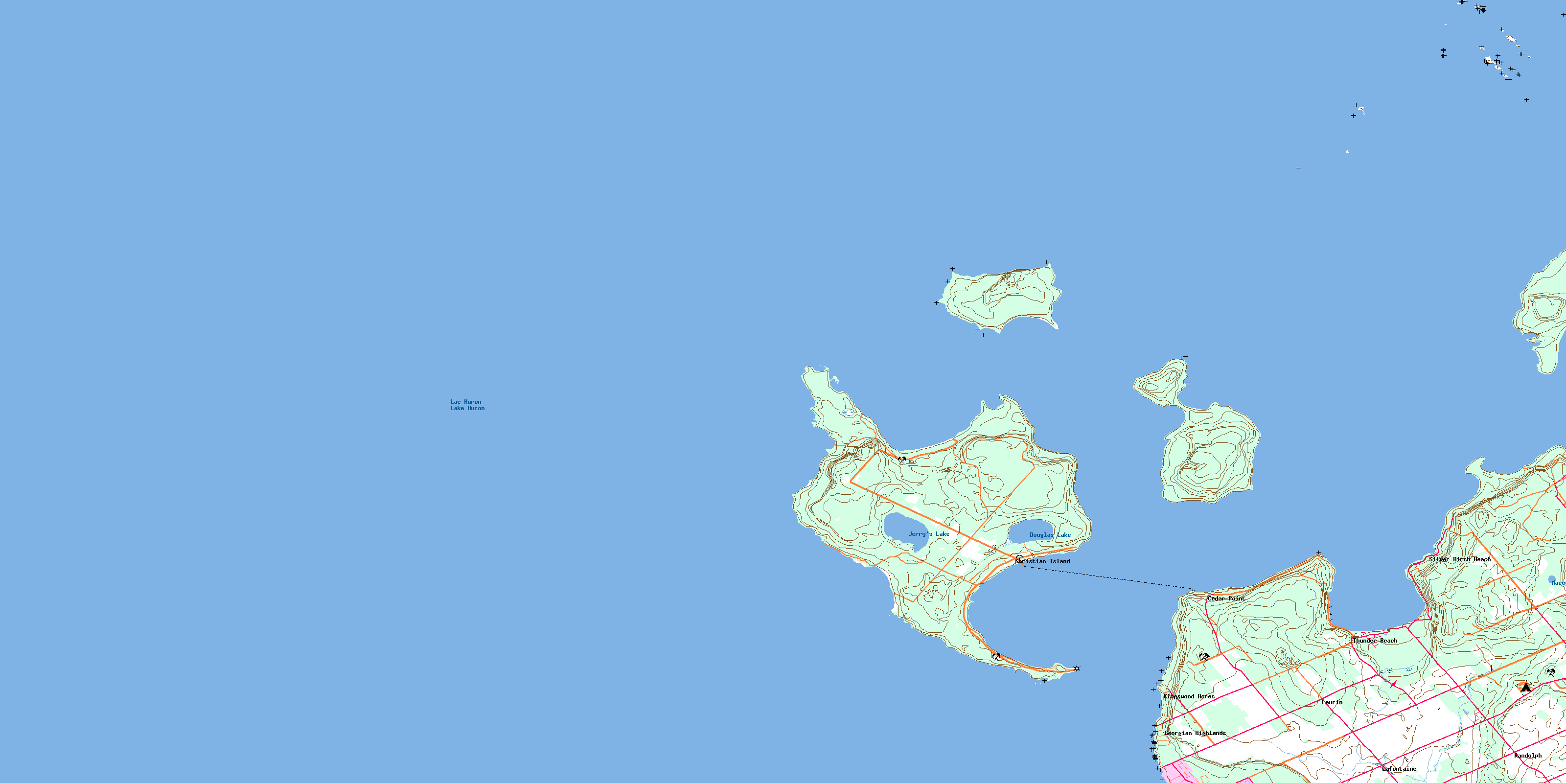
Christian Island Topo Map Online
Download Free Topo Map Sheet 041A16 at 1:50,000 scale
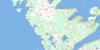
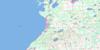
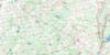
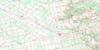
041A16 Christian Island Topo Map
To view this map, mouse over the map preview on the right.
You can also download this topo map for free:
041A16 Christian Island high-resolution topo map image.
Maps for the Christian Island topo map sheet 041A16 at 1:50,000 scale are also available in these versions:
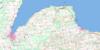
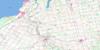
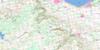
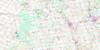
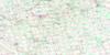
Christian Island Surrounding Area Topo Maps
 |
 |
 |
|
 |
 |
 |
|
 |
 |
 |
 |
 |
 |
 |
 |
© Department of Natural Resources Canada. All rights reserved.
Christian Island Gazetteer
The following places can be found on topographic map sheet 041A16 Christian Island:
Christian Island Topo Map: Bays
Baie de SableBaie du Tonnerre
Baie Georgienne
Big Sand Bay
Georgian Bay
Kettle's Bay
Little Sand Bay
Methodist Bay
Nottawasaga Bay
Salt Cove
Salt Harbour
Sandy Bay
Sandy Bay
Sandy Cove
South Bay
Southwest Harbour
Thunder Bay
West Sand Bay
Whitefish Bay
Christian Island Topo Map: Capes
Bar PointBayly Point
Black Rock Point
Blue Point
Cedar Point
Charity Point
Daly Point
Faith Point
Hardhead Point
Hayter Point
Hoar Point
Lighthouse Point
Little Beckwith
Marks Point
Mayne Point
Menague Point
Methodist Point
Monague Point
Motton Point
Parker Point
Pointe Méthodiste
Shoal Point
South Point
Stoney Point
Thunder Point
Todd Point
Variation Point
Ways Point
Whitefish Point
Christian Island Topo Map: Channels
Christian ChannelHope Channel
Christian Island Topo Map: Cliffs
Sand CliffChristian Island Topo Map: Geographical areas
MuskokaSimcoe
Tiny
Christian Island Topo Map: Indian Reserves
Christian Island 30Christian Island 30A
Christian Island Indian Reserve 30
Christian Island Indian Reserve 30A
Réserve indienne Christian Island 30
Réserve indienne Christian Island 30A
Christian Island Topo Map: Islands
Beckwith IslandChristian Island
Giants Tomb Island
Gray Island
Hope Island
Île au Géant
Île aux Chrétiens
Île Ronde
Île Travers
Little Christian Island
Little Island
North Watcher Island
Pine Islands
South Watcher Island
Southeast Wooded Pine Island
Stoney Island
Stoney Islands
The Watchers
Christian Island Topo Map: Lakes
Douglas LakeJerry's Lake
Lac Huron
Lake Huron
Macey Lake
Christian Island Topo Map: Mountains
The TombChristian Island Topo Map: Major municipal/district area - major agglomerations
MuskokaSimcoe
Christian Island Topo Map: Other municipal/district area - miscellaneous
Georgian BayTiny
Christian Island Topo Map: Conservation areas
Awenda Provincial ParkChristian Island Topo Map: Shoals
Anchor RockBennet Bank
Campana Shoal
Fawkes Rock
Grace Bank
Grieve Rock
Lottie Wolf Rock
Quai des Roches
Single Rock
Spain Rock
Table Rocks
Watcher Reef
Christian Island Topo Map: Unincorporated areas
Baie-du-TonnerreCedar Point
Christian Island
Georgian Highlands
Kingswood Acres
Lafontaine
Laurin
Pointe-aux-Cèdres
Randolph
Sand Castle Beach
Silver Birch Beach
Thunder Beach
© Department of Natural Resources Canada. All rights reserved.
