Glen Afton Topo Map Online
Download Free Topo Map Sheet 041I09 at 1:50,000 scale
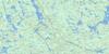
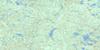
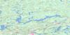
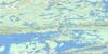
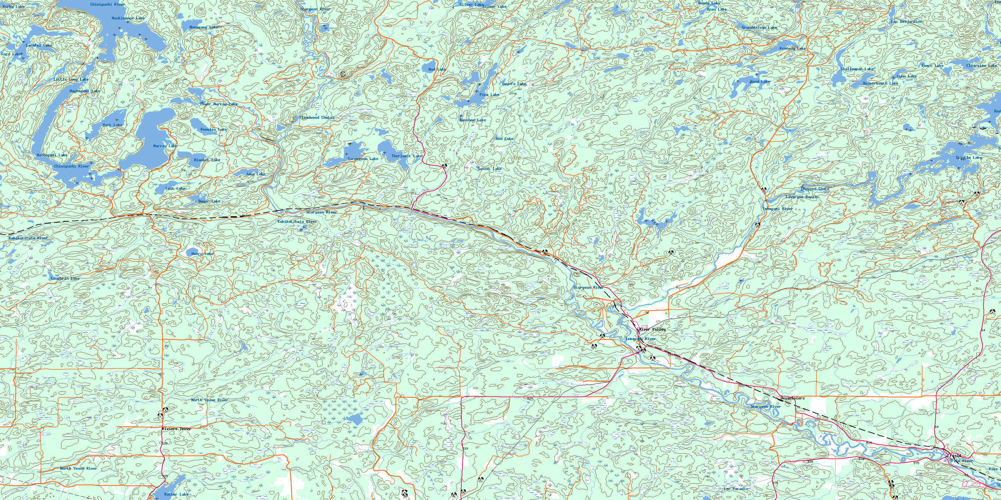
041I09 Glen Afton Topo Map
To view this map, mouse over the map preview on the right.
You can also download this topo map for free:
041I09 Glen Afton high-resolution topo map image.
Maps for the Glen Afton topo map sheet 041I09 at 1:50,000 scale are also available in these versions:
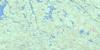
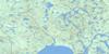
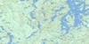
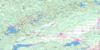
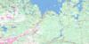
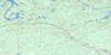
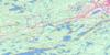
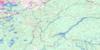
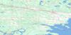
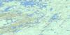
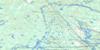
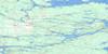
Glen Afton Surrounding Area Topo Maps
 |
 |
 |
 |
 |
 |
 |
 |
 |
 |
 |
 |
 |
 |
 |
 |
© Department of Natural Resources Canada. All rights reserved.
Glen Afton Gazetteer
The following places can be found on topographic map sheet 041I09 Glen Afton:
Glen Afton Topo Map: Bays
East BayWest Bay
Glen Afton Topo Map: City
Nipissing OuestGlen Afton Topo Map: Falls
Ragged ChuteGlen Afton Topo Map: Geographical areas
BadgerowBastedo
Crerar
Dana
Davis
Field
Gibbons
Hagar
Henry
Hobbs
Hugel
Janes
Kelly
Loughrin
McCallum
McNish
McWilliams
Nipissing
Pardo
Ratter
Sudbury
Thistle
Glen Afton Topo Map: Islands
Mossman IslandGlen Afton Topo Map: Lakes
Azen LakeBanshee Lake
Beavertooth Lake
Blanket Lake
Brownbear Lake
Carafel Lake
Clearview Lake
Dana Lake
Dwyer Lake
Ewart Lake
Ford Lake
Grandmaison Lake
Gwynfa Lake
Hand Lake
Hart Lake
Hen Lake
Henry Lake
Hobbs Lake
Jake Lake
Kennedy Lake
Knowles Lake
Lac des Cèdres
Lac des Îles
Lac Desjardins
Lac Grandmaison
Lac Maskinongé
Lac Murray
Lac Paradis
Lac Sargesson
Lac Thériault
Lac Washagami
Little Long Lake
Lost Lake
Loughrin Lake
Lower Murray Lake
Lynn Lake
Maskinonge Lake
Mud Lake
Murray Lake
Muskosung Lake
Namasang Lake
Pine Lake
Pud Lake
Ratter Lake
Red Cedar Lake
Rocky Lake
Sargesson Lake
Shallowpan Lake
Silver Lake
Sunset Lake
Theriault Lake
Thistle Lake
Washagami Lake
Weedy Lake
Glen Afton Topo Map: Mountains
Oak RidgesGlen Afton Topo Map: Other municipal/district area - miscellaneous
CaldwellField
Hagar
Ratter and Dunnet
Springer
Glen Afton Topo Map: Conservation areas
Dana Township Jack Pine Forest Conservation ReserveTemagami River Provincial Park
Glen Afton Topo Map: Rapids
Floodwood ChutesLavergne Rapids
Glen Afton Topo Map: Rivers
Azen CreekCarafel Creek
Chiniguchi River
Chiniguchi River
Deer Creek
Hebert Creek
Henry Creek
Kabikotitwia River
Kiyask River
Lynn Creek
McArty Creek
McNedry Creek
McNish Creek
Murray Creek
Namasang Creek
North Veuve River
Pike River
Rivière Témagami
Silver Creek
Sinton Creek
Sturgeon River
Temagami River
Timagami River
Glen Afton Topo Map: River features
The ElbowGlen Afton Topo Map: Road features
Island PortageGlen Afton Topo Map: Towns
Markstay-WarrenWest Nipissing
Glen Afton Topo Map: Unincorporated areas
AshburtonAzen
Chudleigh
Désaulniers
Field
Glen Afton
River Valley
Rivière Veuve
Washagami
© Department of Natural Resources Canada. All rights reserved.
