Coniston Topo Map Online
Download Free Topo Map Sheet 041I07 at 1:50,000 scale
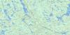
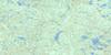
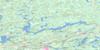
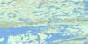
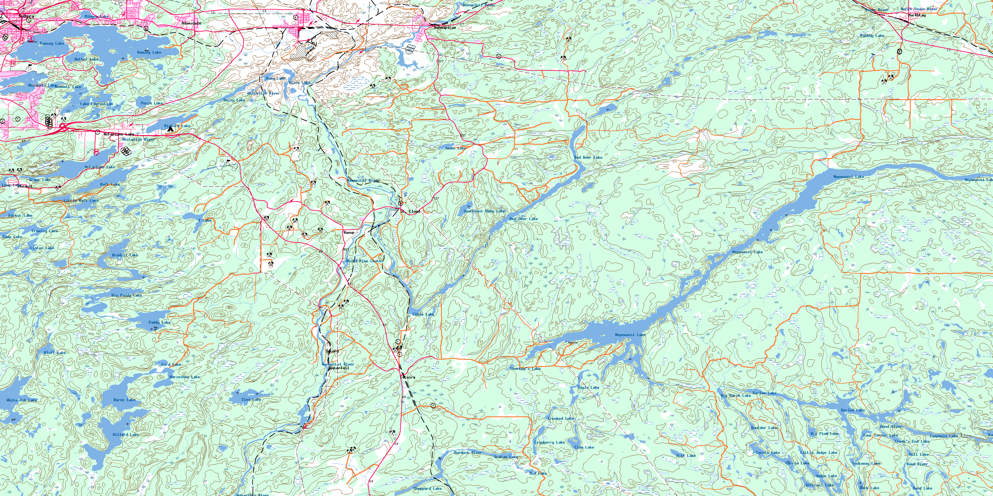
041I07 Coniston Topo Map
To view this map, mouse over the map preview on the right.
You can also download this topo map for free:
041I07 Coniston high-resolution topo map image.
Maps for the Coniston topo map sheet 041I07 at 1:50,000 scale are also available in these versions:
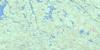
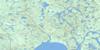
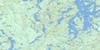
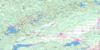
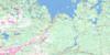
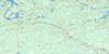
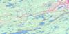
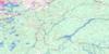
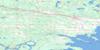
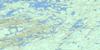
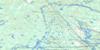
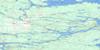
Coniston Surrounding Area Topo Maps
 |
 |
 |
 |
 |
 |
 |
 |
 |
 |
 |
 |
 |
 |
 |
 |
© Department of Natural Resources Canada. All rights reserved.
Coniston Gazetteer
The following places can be found on topographic map sheet 041I07 Coniston:
Coniston Topo Map: Bays
Barlow BayCPR Bay
Crane's Nest Bay
Frenchman's Bay
Hermit's Bay
Levern Bay
Mine Bay
Morel's Bay
South Bay
West Arm
West Arm of Lake Nipissing
Coniston Topo Map: Beaches
First BeachSecond Beach
Coniston Topo Map: City
Grand SudburyGreater Sudbury
Rivière des Français
Coniston Topo Map: Falls
White Pine ChutesConiston Topo Map: Geographical areas
ApplebyAwrey
Broder
Burwash
Cherriman
Cleland
Dill
Dryden
Hagar
Halifax
Hawley
Hendrie
Hoskin
Jennings
Laura
McKim
Neelon
Secord
Servos
Sudbury
Tilton
Coniston Topo Map: Islands
Bass IslandBerry Island
Blueberry Island
Bryn Heulog Island
Don Island
Du Caillaud Island
Duck Island
Galliard Island
Gordon Island
Green Island
Ida Island
McCrea Island
McMahons Island
McNaughton Island
Meda Island
Norway Island
One Mile Island
Picnic Island
Pike Island
Potters Island
Romanet Island
Salter Island
Swansea Island
Swiss Island
Coniston Topo Map: Lakes
Alice LakeBaby Lake
Band Lake
Barlow Lake
Barlow Lake
Bennett Lake
Bethel Lake
Big Marsh Lake
Big Paddy Lake
Big Pine Lake
Birch Lake
Bluff Lake
Boulder Lake
Brodill Lake
Burnt Lake
Camp Lake
Campbell Lake
Carrie Lake
Chief Lake
Clam Lake
Cord Lake
Cranberry Lake
Creek's End Lake
Crooked Lake
Crowley Lake
Daisy Lake
Dill Lake
Doctor's Pond
Doyle Lake
Eau Sale Pond
Elbow Lake
Forest Lake
Four Corner Lake
Graham Lake
Grant Lake
Gull Lake
Horseshoe Lake
Judge Lake
Jumbo Lake
Kasten Lake
Lac Nepewassi
Lac Ramsey
Lac Red Deer
Lake Laurentian
Linton Lake
Little Judge Lake
Little Raft Lake
Long Lake
McFarlane Lake
Millerd Lake
Minnow Lake
Mud Lake
Mud Lake
Nepahwin Lake
Nepewassi Lake
Offtrail Lake
Paddy Lake
Perch Lake
Rabbit Lake
Raft Lake
Ramsey Lake
Red Deer Lake
Reed Pond
Richard Lake
Rock Lake
Shadow Lake
Sharkey's Lake
Sheppard Lake
Sixbass Lake
Sled Lake
Southeast Baby Lake
T Lake
Tuckaway Lake
Waubamac Lake
White Oak Lake
Wolf Lake
Coniston Topo Map: Military areas
Champ de manoeuvre SudburySudbury Training Area
Coniston Topo Map: Mountains
Hendrickson's HillConiston Topo Map: Major municipal/district area - major agglomerations
SudburyConiston Topo Map: Other municipal/district area - miscellaneous
Casimir, Jennings and ApplebyCosby and Mason
Cosby, Mason and Martland
Falconbridge
Hagar
Martland
McKein
Neelon and Garson
Ratter and Dunnet
Coniston Topo Map: Conservation areas
Daisy Lake Uplands Provincial ParkConiston Topo Map: Rivers
Amateewakea RiverAmateewakea River
Band River
Coniston Creek
Doctor Creek
Elbow Creek
Finland Creek
Irwin Creek
Junction Creek
Lily Creek
Millerd Creek
Minister Creek
Murdock River
Nolins Creek
North Veuve River
Paddy Creek
Rivière Murdock
Rivière Veuve
Rivière Wanapitei
Romford Creek
Sled Creek
Veuve River
Wanapitei River
White Beaver Creek
Whitefish River
Coniston Topo Map: Towns
French RiverMarkstay-Warren
St.-Charles
Coniston Topo Map: Unincorporated areas
AdamsdaleAustin
Bell Grove
Brodie
Camp Wanapitei
Coniston
Dill
Dill Siding
Donovan
Estaire
Hotrum
Lo-Ellen
Markstay
McFarlane Lake
McVitties
Minnow Lake
Mott
Nickel Centre
Quartz
Rheault
Romford
Secord
St. Cloud
Sudbury
The Donovan
Wahnapitae
Wanup
Waterfall
© Department of Natural Resources Canada. All rights reserved.
