Lake Panache Topo Map Online
Download Free Topo Map Sheet 041I03 at 1:50,000 scale
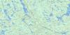
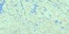
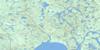
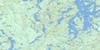
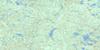
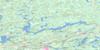
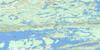
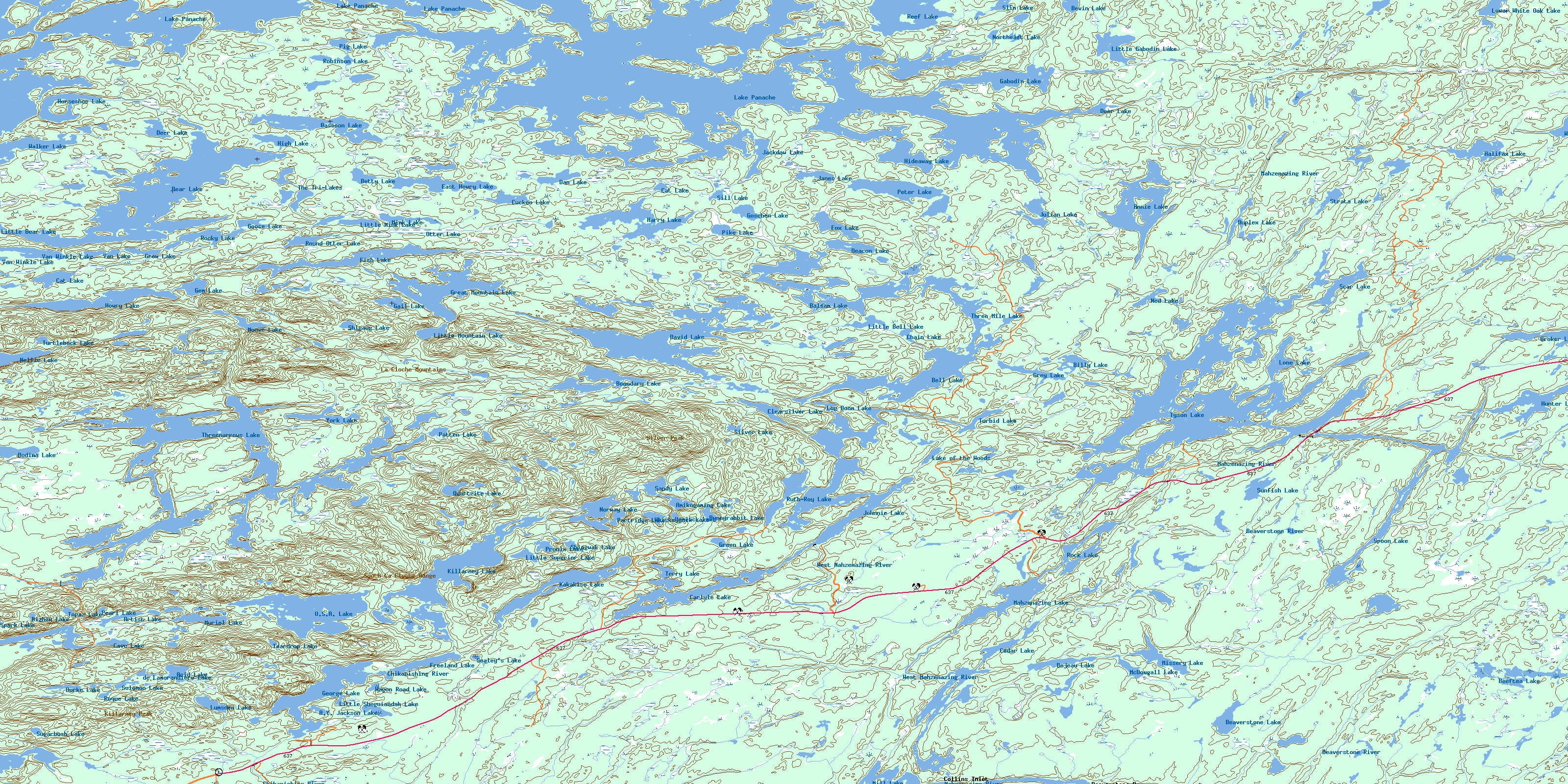
041I03 Lake Panache Topo Map
To view this map, mouse over the map preview on the right.
You can also download this topo map for free:
041I03 Lake Panache high-resolution topo map image.
Maps for the Lake Panache topo map sheet 041I03 at 1:50,000 scale are also available in these versions:
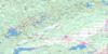
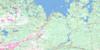
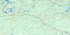
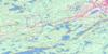
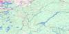
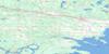
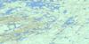
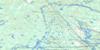
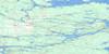
Lake Panache Surrounding Area Topo Maps
 |
 |
 |
 |
 |
 |
 |
 |
 |
 |
 |
 |
 |
 |
 |
 |
© Department of Natural Resources Canada. All rights reserved.
Lake Panache Gazetteer
The following places can be found on topographic map sheet 041I03 Lake Panache:
Lake Panache Topo Map: Bays
Archie BayBaie Fine
Bay Finn
Beaverstone Bay
Brown's Bay
Collins Inlet
East Bay
East Bay
Grassy Bay
Hunters Bay
Killarney Bay
Kimbell's Bay
Lamorandière Bay
Narrow Bay
Newton's Bay
Northeast Bay
Sawdust Bay
Sawmill Bay
Second Bay
Stony Bay
Taylor Bay
The Pool
Third Bay
Lake Panache Topo Map: Capes
Crean PointFox Point
Green Point
Potato Point
Lake Panache Topo Map: Channels
Burnt NarrowsRocky Channel
Saginaw Channel
Tyson Channel
Lake Panache Topo Map: City
Grand SudburyGreater Sudbury
Lake Panache Topo Map: Geographical areas
AttleeBevin
Caen
Carlyle
Dieppe
Goschen
Halifax
Hansen
Humboldt
Killarney
Kilpatrick
Manitoulin
Roosevelt
Rutherford
Sale
Stalin
Sudbury
Travers
Truman
Lake Panache Topo Map: Indian Reserves
Point Grondine Indian Reserve 3Réserve indienne Point Grondine 3
Réserve indienne Whitefish Lake 6
Whitefish Lake Indian Reserve 6
Lake Panache Topo Map: Islands
Big Chief IslandBig Mary Island
Birch Island
Breaden's Island
Burnt Island
Chicken Island
Chief Island
Doris Island
Edward Island
Flat Island
Flatfish Island
Forbes Island
Frank Island
Lehman Island
Little Twin Sister Islands
McCalley's Island
Muskie Island
O'Brien's Island
One Tree Island
Philip Edward Island
Round Island
Sentinel Island
Sheep Island
Squaw Island
Sugar Island
West Squaw Island
Yoco Island
Lake Panache Topo Map: Lakes
A.Y. Jackson LakeAcid Lake
Amikogaming Lake
Annie Lake
Artist Lake
Attlee Lake
Balsam Lake
Bassoon Lake
Bear Lake
Beaverstone Lake
Beeftea Lake
Bejeau Lake
Bell Lake
Bell Lake
Betty Lake
Bevin Lake
Billy Lake
Bizhiw Lake
Bodina Lake
Boundary Lake
Broker Lake
Brush Camp Lake
Brushcamp Lake
Bunnyrabbit Lake
Burke Lake
Carlyle Lake
Cat Lake
Cat Lake
Cave Lake
Cedar Lake
Chain Lake
Clearsilver Lake
Crooked Lake
Cuckoo Lake
Dan Lake
David Lake
de Lamorandiere Lake
Deacon Lake
Deer Lake
Deer Lake
Duplex Lake
East Howry Lake
Fish Lake
Fox Lake
Frank Lake
Freeland Lake
Gabodin Lake
Gail Lake
Gem Lake
George Lake
Goose Lake
Goschen Lake
Great Mountain Lake
Green Lake
Grey Lake
Grow Lake
Halifax Lake
Harry Lake
Hemlock Lake
Hideaway Lake
High Lake
Horseshoe Lake
Howry Lake
Hunter Lake
Jackdaw Lake
Janes Lake
Johnnie Lake
Julian Lake
Kakakise Lake
Killarney Lake
Kirk Lake
Lake O.S.A.
Lake of the Woods
Lake Panache
Little Bear Lake
Little Bell Lake
Little Gabodin Lake
Little Mink Lake
Little Mountain Lake
Little Sheguiandah Lake
Little Superior Lake
Log Boom Lake
Lone Lake
Lower White Oak Lake
Lumsden Lake
Lyle Lake
Mahzenazing Lake
McDougall Lake
Mill Lake
Mink Lake
Missery Lake
Moose Lake
Muriel Lake
Ned Lake
Nellie Lake
Northeast Lake
Norway Lake
O.S.A. Lake
Otter Lake
Partridge Lake
Patten Lake
Pearl Lake
Peter Lake
Pig Lake
Pike Lake
Proulx Lake
Quartzite Lake
Reef Lake
Ringer Lake
Robinson Lake
Rock Lake
Rocky Lake
Roque Lake
Round Otter Lake
Ruth-Roy Lake
Sandy Lake
Scar Lake
Sealey's Lake
Shigaug Lake
Shingwak Lake
Sill Lake
Silver Lake
Slim Lake
Solomon Lake
Spark Lake
Spoon Lake
Strata Lake
Sturgeon Lake
Sugarbush Lake
Sunfish Lake
Teardrop Lake
Terry Lake
The Tri-Lakes
Three Mile Lake
Threenarrows Lake
Topaz Lake
Trout Lake
Turbid Lake
Turtleback Lake
Tyson Lake
Van Lake
Van Winkle Lake
Wagon Road Lake
Walker Lake
West Tanner Lake
Whiskeyjack Lake
Whitefish Lake
Whiterock Lake
York Lake
Lake Panache Topo Map: Mountains
Blue RidgeCloche Mountains
Gulch Hill
Killarney Peak
Killarney Ridge
La Cloche Mountains
Leadingmark Hill
Northeast Hill
Silver Peak
South La Cloche Mountains
South La Cloche Range
Lake Panache Topo Map: Major municipal/district area - major agglomerations
SudburyLake Panache Topo Map: Other municipal/district area - miscellaneous
BalfourDowling
Drury, Denison and Graham
Howland
Rutherford and George Island
Lake Panache Topo Map: Conservation areas
Attlee Central Forest Conservation ReserveAttlee Conservation Reserve
Killarney Lakelands and Headwaters Provincial Park
Killarney Provincial Park
Lake Panache Topo Map: Rivers
Annie CreekArtist Creek
Beaverstone River
Bevin Creek
Billy Creek
Chikanishing River
David Creek
Deacon Creek
Frying Pan Creek
Gabodin Creek
Halifax Creek
Howry Creek
Kakakise Creek
Kirk Creek
Little Beaverstone Creek
Little White Oak Creek
Lyle Creek
Mahzenazing River
North Howry Creek
Pickerel Channel
Scar Creek
Snake Channel
Stinky Creek
Strata Creek
West Mahzenazing River
White Oak Creek
Whitefish River
Wolf Creek
Wolf Creek
Lake Panache Topo Map: Road features
Cat Lake PortageHigh Portage
Lake Panache Topo Map: Towns
KillarneyNortheastern Manitoulin and the Islands
Northeastern Manitoulin and the Islands
Waters
Lake Panache Topo Map: Unincorporated areas
Beaverstone BayCollins Inlet
Walden
Lake Panache Topo Map: Low vegetation
Cranberry BogProulx Marsh
© Department of Natural Resources Canada. All rights reserved.
