Berry Point Topo Map Online
Download Free Topo Map Sheet 052E06 at 1:50,000 scale
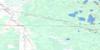
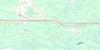
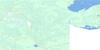
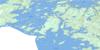
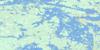
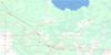
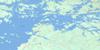
052E06 Berry Point Topo Map
To view this map, mouse over the map preview on the right.
You can also download this topo map for free:
052E06 Berry Point high-resolution topo map image.
Maps for the Berry Point topo map sheet 052E06 at 1:50,000 scale are also available in these versions:
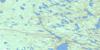
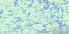
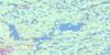
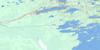
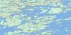
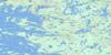
Berry Point Surrounding Area Topo Maps
 |
 |
 |
 |
 |
 |
 |
 |
 |
 |
 |
 |
 |
 |
 |
 |
© Department of Natural Resources Canada. All rights reserved.
Berry Point Gazetteer
The following places can be found on topographic map sheet 052E06 Berry Point:
Berry Point Topo Map: Bays
Calm BayMoosin Bay
Northwest Angle Inlet
Northwest Angle Inlet
Berry Point Topo Map: Capes
Berry PointBerry Point
Elmo Point
Northwest Point
Berry Point Topo Map: Indian Reserves
Northwest Angle 33BNorthwest Angle 34C
Northwest Angle 34C & 37B
Northwest Angle 37C
Northwest Angle Indian Reserve 33B
Northwest Angle Indian Reserve 34C & 37B
Réserve indienne Northwest Angle 33B
Réserve indienne Northwest Angle 34C & 37B
Réserve indienne Shoal Lake 31J
Réserve indienne Shoal Lake 34B1
Réserve indienne Shoal Lake 37A
Réserve indienne Shoal Lake 39
Shoal Lake 31J
Shoal Lake 34B1
Shoal Lake 37A
Shoal Lake 37A
Shoal Lake 39
Shoal Lake 39
Shoal Lake Indian Reserve 31J
Shoal Lake Indian Reserve 34B1
Shoal Lake Indian Reserve 37A
Shoal Lake Indian Reserve 39
Berry Point Topo Map: Islands
Black Fox IslandsBoucher Island
Elmo Island
Mackey Island
Stull Island
Berry Point Topo Map: Lakes
Lac des BoisLake of the Woods
Shoal Lake
Shoal Lake
Sprague Lake
Twin Lakes
Whitemouth Pond
Berry Point Topo Map: Conservation areas
Northwest Angle Provincial ForestBerry Point Topo Map: Provinces
ManitobaBerry Point Topo Map: Rivers
Harrison CreekNorthwest Angle Creek
Poplar Creek
Powawassan Creek
Stony Creek
Berry Point Topo Map: Unincorporated areas
Northwest Point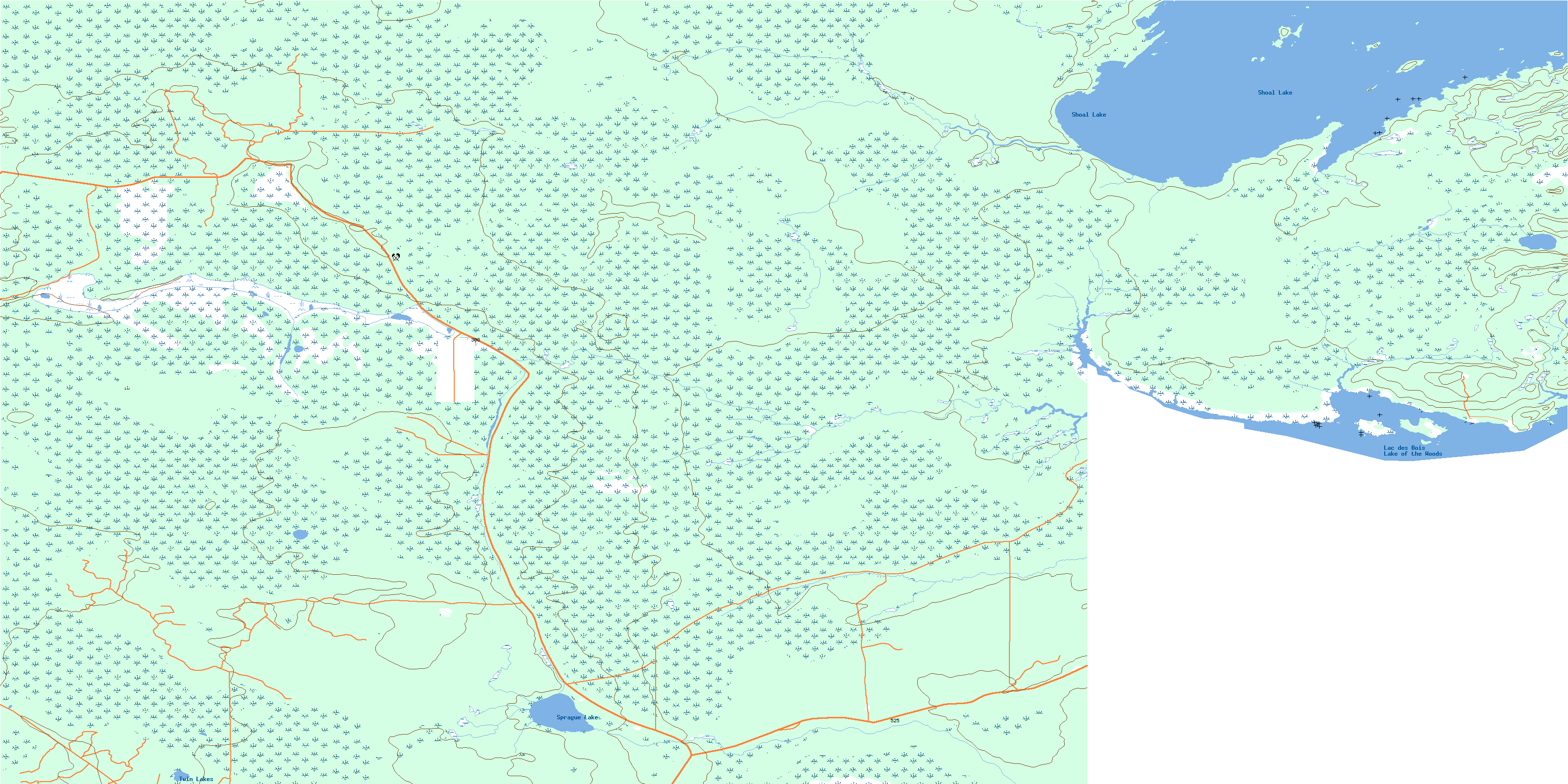
© Department of Natural Resources Canada. All rights reserved.
052E Related Maps:
052E Kenora052E01 Morson
052E02 Big Island
052E03 Buffalo Bay
052E04 Sprague
052E05 Whitemouth River
052E06 Berry Point
052E07 Falcon Island
052E08 Sioux Narrows
052E09 Longbow Lake
052E10 Clearwater Bay
052E11 Falcon Lake
052E12 Mcmunn
052E13 Whitemouth
052E14 Caddy Lake
052E15 Keewatin
052E16 Kenora
