Big Island Topo Map Online
Download Free Topo Map Sheet 052E02 at 1:50,000 scale
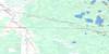
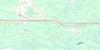
052E02 Big Island Topo Map
To view this map, mouse over the map preview on the right.
You can also download this topo map for free:
052E02 Big Island high-resolution topo map image.
Maps for the Big Island topo map sheet 052E02 at 1:50,000 scale are also available in these versions:
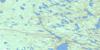
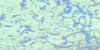
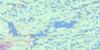
Big Island Surrounding Area Topo Maps
 |
 |
 |
 |
 |
 |
 |
 |
 |
 |
 |
 |
 |
 |
 |
 |
© Department of Natural Resources Canada. All rights reserved.
Big Island Gazetteer
The following places can be found on topographic map sheet 052E02 Big Island:
Big Island Topo Map: Bays
Asmus BayBasil Bay
Bells Harbour
Big Traverse Bay
Camp Ten Bay
Dawson Bay
Deep Bay
Little Traverse Bay
McCauley Bay
Oshie Bay
Seamo Bay
Shipwreck Bay
The Little Traverse
Verbena Bay
Big Island Topo Map: Capes
Aulneau PeninsulaBasil Point
Bigsby Point
Black Point
Drennan Point
Hooper Point
Northwest Point
Patty Point
Sugar Point
Big Island Topo Map: Channels
Basil ChannelDawson Channel
Big Island Topo Map: Geographical areas
Big IslandBig Island Topo Map: Indian Reserves
Big Island 31DBig Island 31E
Big Island 31F
Big Island 37
Big Island Indian Reserve 31D
Big Island Indian Reserve 31E
Big Island Indian Reserve 31F
Big Island Indian Reserve 37
Lake of the Woods 31H
Lake of the Woods Indian Reserve 31H
Naongashing Indian Reserve 31A
Naongashing Indian Reserve 35A
Réserve indienne Big Island 31D
Réserve indienne Big Island 31E
Réserve indienne Big Island 31F
Réserve indienne Big Island 37
Réserve indienne Lake of the Woods 31H
Réserve indienne Naongashing 31A
Réserve indienne Naongashing 35A
Big Island Topo Map: Islands
Alexandria IslandBear Island
Big Island
Bigsby Island
Campfire Island
Cut Foot Island
Dawson Island
Dog Island
Dream Island
Fadden's Island
Ferris Island
Haas Island
Huggins Island
Hunters Island
Little Alexandria Island
Little Garden Island
Maple Islands
Nestor Island
North Haas Island
North Island
North Snake Island
Painted Rock Island
Plow Island
Pony Island
Rubber Island
Scout Island
South Haas Island
Splitrock Island
Tent Island
The Three Sisters
Tods Island
Tomahawk Island
White Rock Island
Big Island Topo Map: Lakes
Lac des BoisLake of the Woods
Big Island Topo Map: Other municipal/district area - miscellaneous
Lake of the WoodsMcCrosson and Tovell
Morson
Big Island Topo Map: Conservation areas
Lake of the Woods Provincial ParkBig Island Topo Map: Shoals
Baby Bear ReefFoster Reef
Huggins Bar
Mama Bear Reefs
Sleeping Reefs
Windy Point Reef
Big Island Topo Map: Unincorporated areas
Naongashing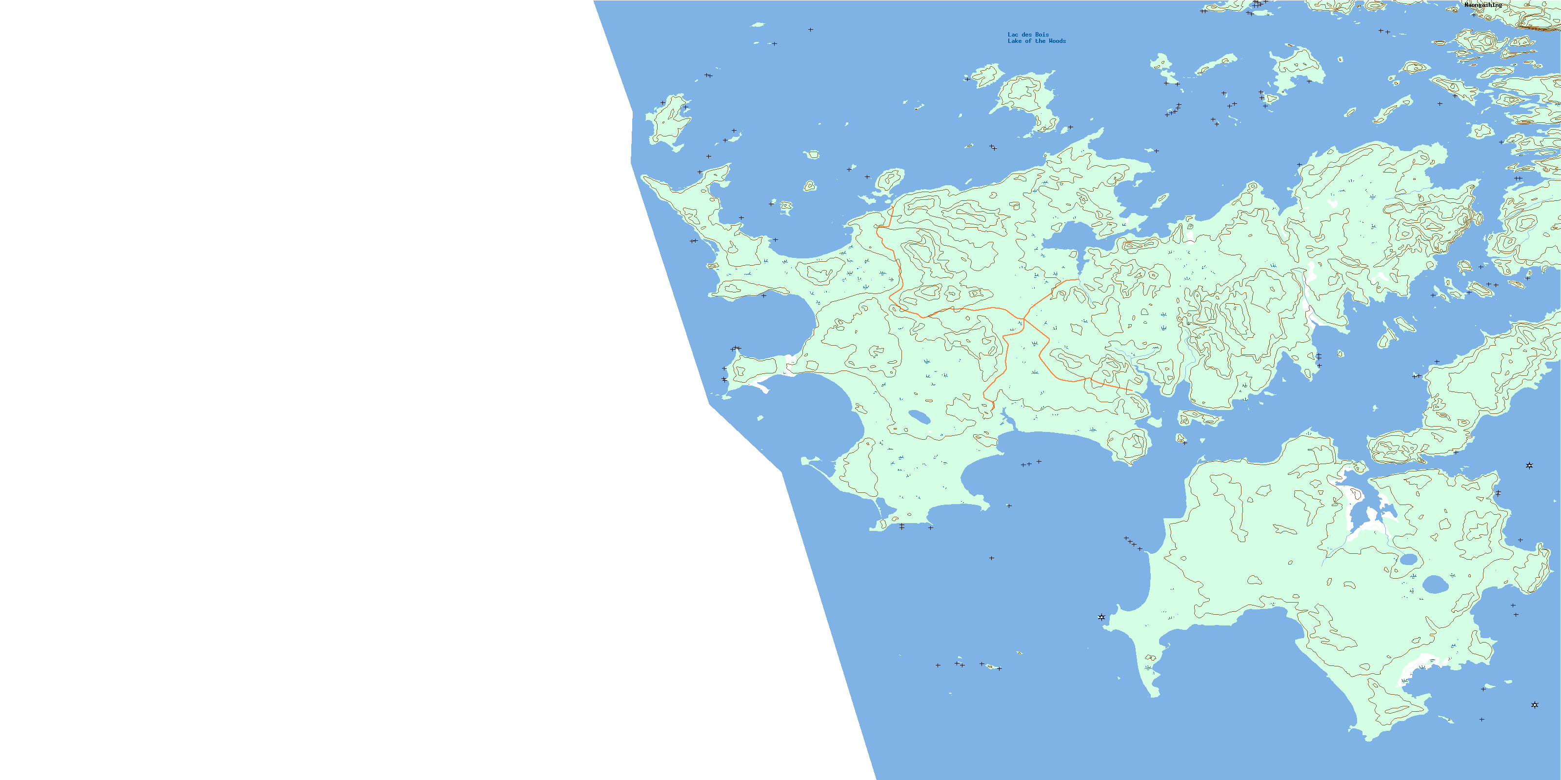
© Department of Natural Resources Canada. All rights reserved.
052E Related Maps:
052E Kenora052E01 Morson
052E02 Big Island
052E03 Buffalo Bay
052E04 Sprague
052E05 Whitemouth River
052E06 Berry Point
052E07 Falcon Island
052E08 Sioux Narrows
052E09 Longbow Lake
052E10 Clearwater Bay
052E11 Falcon Lake
052E12 Mcmunn
052E13 Whitemouth
052E14 Caddy Lake
052E15 Keewatin
052E16 Kenora
