Sprague Topo Map Online
Download Free Topo Map Sheet 052E04 at 1:50,000 scale
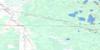
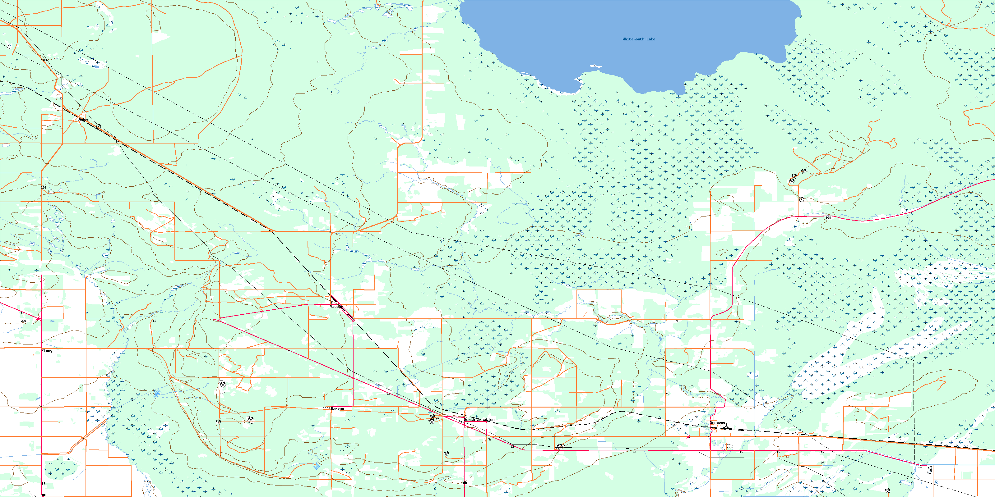
052E04 Sprague Topo Map
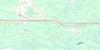
To view this map, mouse over the map preview on the right.
You can also download this topo map for free:
052E04 Sprague high-resolution topo map image.
Maps for the Sprague topo map sheet 052E04 at 1:50,000 scale are also available in these versions:
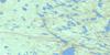
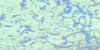
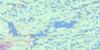
Sprague Surrounding Area Topo Maps
 |
 |
 |
 |
 |
 |
 |
 |
 |
 |
 |
 |
 |
 |
 |
 |
© Department of Natural Resources Canada. All rights reserved.
Sprague Gazetteer
The following places can be found on topographic map sheet 052E04 Sprague:
Sprague Topo Map: Capes
Spruce PointSprague Topo Map: Hydraulic construction
Piney West DrainSprague Topo Map: Lakes
Whitemouth LakeSprague Topo Map: Mountains
Butcher HillCat Hills
Piney Hill
Sprague Topo Map: Other municipal/district area - miscellaneous
PineySprague Topo Map: Conservation areas
Cat Hills Provincial ForestNorthwest Angle Provincial Forest
Red Pine Furbearing Animal Refuge
Sandilands Provincial Forest
Wampum Ecological Reserve
Sprague Topo Map: Provinces
ManitobaSprague Topo Map: Rivers
East Pine CreekMud Creek
Pine Creek
Pine Creek
Reed River
Rivière aux Rats
Sprague Creek
Sprague River
West Pine Creek
Sprague Topo Map: Road features
MOMs WayRoute MOM
Sprague Topo Map: Unincorporated areas
BadgerHickey
Moodie
Piney
South Junction
Sprague
Vassar
Wampum
Sprague Topo Map: Low vegetation
Piney BogSprague Bog
© Department of Natural Resources Canada. All rights reserved.
052E Related Maps:
052E Kenora052E01 Morson
052E02 Big Island
052E03 Buffalo Bay
052E04 Sprague
052E05 Whitemouth River
052E06 Berry Point
052E07 Falcon Island
052E08 Sioux Narrows
052E09 Longbow Lake
052E10 Clearwater Bay
052E11 Falcon Lake
052E12 Mcmunn
052E13 Whitemouth
052E14 Caddy Lake
052E15 Keewatin
052E16 Kenora
