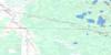
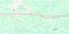
Caddy Lake Topo Map Online
Download Free Topo Map Sheet 052E14 at 1:50,000 scale
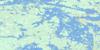
052E14 Caddy Lake Topo Map
To view this map, mouse over the map preview on the right.
You can also download this topo map for free:
052E14 Caddy Lake high-resolution topo map image.
Maps for the Caddy Lake topo map sheet 052E14 at 1:50,000 scale are also available in these versions:
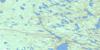
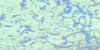
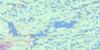
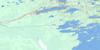
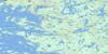
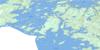
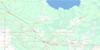
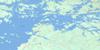
Caddy Lake Surrounding Area Topo Maps
 |
 |
 |
 |
 |
 |
 |
 |
 |
 |
 |
 |
 |
 |
 |
 |
© Department of Natural Resources Canada. All rights reserved.
Caddy Lake Gazetteer
The following places can be found on topographic map sheet 052E14 Caddy Lake:
Caddy Lake Topo Map: Bays
Green BayHowe Bay
Indian Bay
Indian Bay
Little Indian Bay
Little Indian Bay
McDougalls Bay
Moonlight Bay
Penniac Bay
Samsons Cove
Caddy Lake Topo Map: Beaches
Miller BeachStar Beach
Caddy Lake Topo Map: Falls
Lower FallsMallard Falls
McGillivray Falls
Caddy Lake Topo Map: Geographical areas
GundyNoyon
Rice
Caddy Lake Topo Map: Hydraulic construction
Hansons Creek DamNorth Cross Lake East Dam
North Cross Lake West Dam
West Hawk Lake Dam
Caddy Lake Topo Map: Islands
Allum IslandBert Island
Big Island
Boutilier Island
Fletcher Island
Glooskap Island
John Island
Michihabo Island
Napioa Island
Neve Island
Peanut Island
Caddy Lake Topo Map: Lakes
Alberts LakeAlice Lake
Allum Lake
Andrew Lake
Ann Lake
Ann Lake
Argue Lake
Astbury Lake
Barbour Lake
Barwood Lake
Bear Lake
Beauchemin Lake
Beauport Lake
Belanger Lake
Bélanger Lake
Berard Lake
Bernard Lake
Beyak Lake
Bigurski Lake
Bishoff Lake
Brant Lake
Bridget Lake
Brown Lake
Caddy Lake
Canoe Lake
Canty Lake
Caribou Lake
Caskey Lake
Chat Lake
Chiesche Lake
Crandall Lake
Doreen Lake
Dott Lake
Drummey Lake
Durban Lake
Emily Lake
Eveline Lake
Florence Lake
Frances Lake
Frazer Lake
Gilmore Lake
Granite Lake
Gundy Lake
Harvey Lake
Hello Lake
Hello Lake
Hesp Lake
Hnatiw Lake
Hop Lake
Indian Lake
Irvine Lake
Jag Lake
Jessica Lake
Kanatan Lake
Kennedy Lake
Kirk Lake
Lake of the Clouds
Lancota Lake
Lingwood Lake
Little Bear Lake
Little Rice Lake
Longpine Lake
Loon Lake
Lost Lake
Macara Lake
Madge Lake
Malachi Lake
Mallard Lake
Man Lake
Mantario Lake
Mantario Lake
Marg Lake
Marion Lake
McGillivray Lake
McQuaker Lake
Michie Lake
Mollie Lake
Moosehead Lake
Muriel Lake
Muth Lake
Nason Lake
Neve Lake
Nora Lake
North Cross Lake
North Scot Lake
Olive Lake
One Stone Lake
Owchar Lake
Peggy Lake
Pelechaty Lake
Pennycook Lake
Pintail Lake
Piute Lake
Rice Lake
Rock Lake
Ross Lake
Rustrock Lake
Sailing Lake
Sanders Lake
Shell Lake
Sherb Lake
Shiaro Lake
Shirley Lake
Simpson Lake
Skogman Lake
Slippery Lake
Somerville Lake
South Cross Lake
South Scot Lake
Spider Lake
Spider Lake
Split Lakes
St. Claire Lake
Star Lake
Staradub Lake
Tannis Lake
T-bone Lake
Teal Lake
Telford Lake
Telford Pond
The Beaver Pond
The Lily Pond
The Pothole
Townsend Lake
Trail Lake
Twin Lake
Vestal Lake
Victoria Lake
Wakus Lake
Watt Lake
West Hawk Lake
West Hawk Lake
Whillier Lake
White Lake
Whitefish Lake
Wilfred Lake
Wing Lake
Wing Lake
Zubek Lake
Caddy Lake Topo Map: Conservation areas
Alfred Hole Goose SanctuaryWhiteshell Game Bird Refuge
Whiteshell Provincial Forest
Whiteshell Provincial Park
Caddy Lake Topo Map: Provinces
ManitobaCaddy Lake Topo Map: Rivers
Bear CreekBernard Creek
Castellar Creek
Gundy Creek
Gundy Creek
Hanson Creek
Hansons Creek
Indian Creek
Longpine Creek
Longpine Creek
Malachi Creek
McGillivray Creek
Moss Creek
Nora Creek
North Cross Creek
One Stone Creek
Rennie River
Rice Creek
South Fork Rennie River
Trail Creek
Whiteshell River
Whiteshell River
Caddy Lake Topo Map: Road features
La Vérendrye TrailCaddy Lake Topo Map: Unincorporated areas
Big Island LandingCaddy Lake
Cross Lake
Decimal
Ingolf
McDougalls Landing
Ophir
Rice Lake
Star Lake
Telford
White
Winnitoba
Caddy Lake Topo Map: Low vegetation
Jessica Lake Bog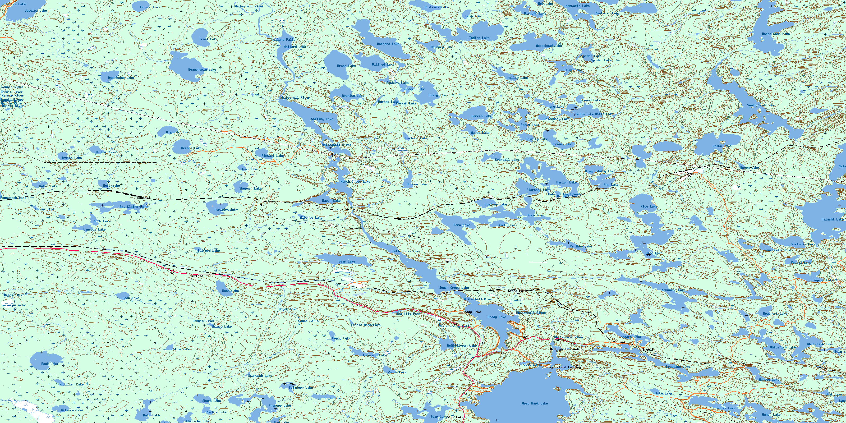
© Department of Natural Resources Canada. All rights reserved.
052E Related Maps:
052E Kenora052E01 Morson
052E02 Big Island
052E03 Buffalo Bay
052E04 Sprague
052E05 Whitemouth River
052E06 Berry Point
052E07 Falcon Island
052E08 Sioux Narrows
052E09 Longbow Lake
052E10 Clearwater Bay
052E11 Falcon Lake
052E12 Mcmunn
052E13 Whitemouth
052E14 Caddy Lake
052E15 Keewatin
052E16 Kenora
