Stonewall Topo Map Online
Download Free Topo Map Sheet 062I03 at 1:50,000 scale
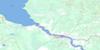
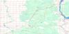
062I03 Stonewall Topo Map
To view this map, mouse over the map preview on the right.
You can also download this topo map for free:
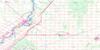
062I03 Stonewall high-resolution topo map image.
Maps for the Stonewall topo map sheet 062I03 at 1:50,000 scale are also available in these versions:
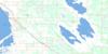
Stonewall Surrounding Area Topo Maps
 |
 |
 |
 |
 |
 |
 |
 |
 |
 |
 |
 |
 |
 |
 |
 |
© Department of Natural Resources Canada. All rights reserved.
Stonewall Gazetteer
The following places can be found on topographic map sheet 062I03 Stonewall:
Stonewall Topo Map: Geographical areas
St. AndrewsSt. Paul
St. Pauls
Stonewall Topo Map: Hydraulic construction
Bruneau DrainCity Protection Drain
Cloverdale Road Drain
Gamby Drain
Gramiak Drain
Grassmere Creek Drain
Northumberland Drain
Penitentiary Drain
Stonewall Topo Map: Other municipal/district area - miscellaneous
East St. PaulRockwood
Rosser
St. Andrews
St. Clements
West St. Paul
Woodlands
Stonewall Topo Map: Conservation areas
Oak Hammock Marsh Wildlife Management AreaRiver Road Provincial Park
Stonewall Topo Map: Rivers
East Branch Grassmere Creek DrainGunns Creek
Jackfish Creek
Jennifer Creek
Parkes Creek
Parks Creek
Red River
Rivière Rouge
Wavey Creek
Stonewall Topo Map: River features
The WyeStonewall Topo Map: Road features
La Vérendrye TrailStonewall Topo Map: Towns
StonewallStonewall Topo Map: Unincorporated areas
ArgyleBennett
Blackdale
Cloverdale
Dawson
Ekhart
Emesville
Gordon
Grosse Isle
Lait
Larter
Lillyfield
Lilyfield
McLennan
Miller
Oak Hammock
Old Ireland
Orpa
Parkdale
Parkview
Pigeon Bluff
Ridgely
Rivercrest
Riverside
Rockwood
Rossdale
Stony Mountain
Story
Strathewen
Wieneke
Stonewall Topo Map: Low vegetation
Oak Hammock Marsh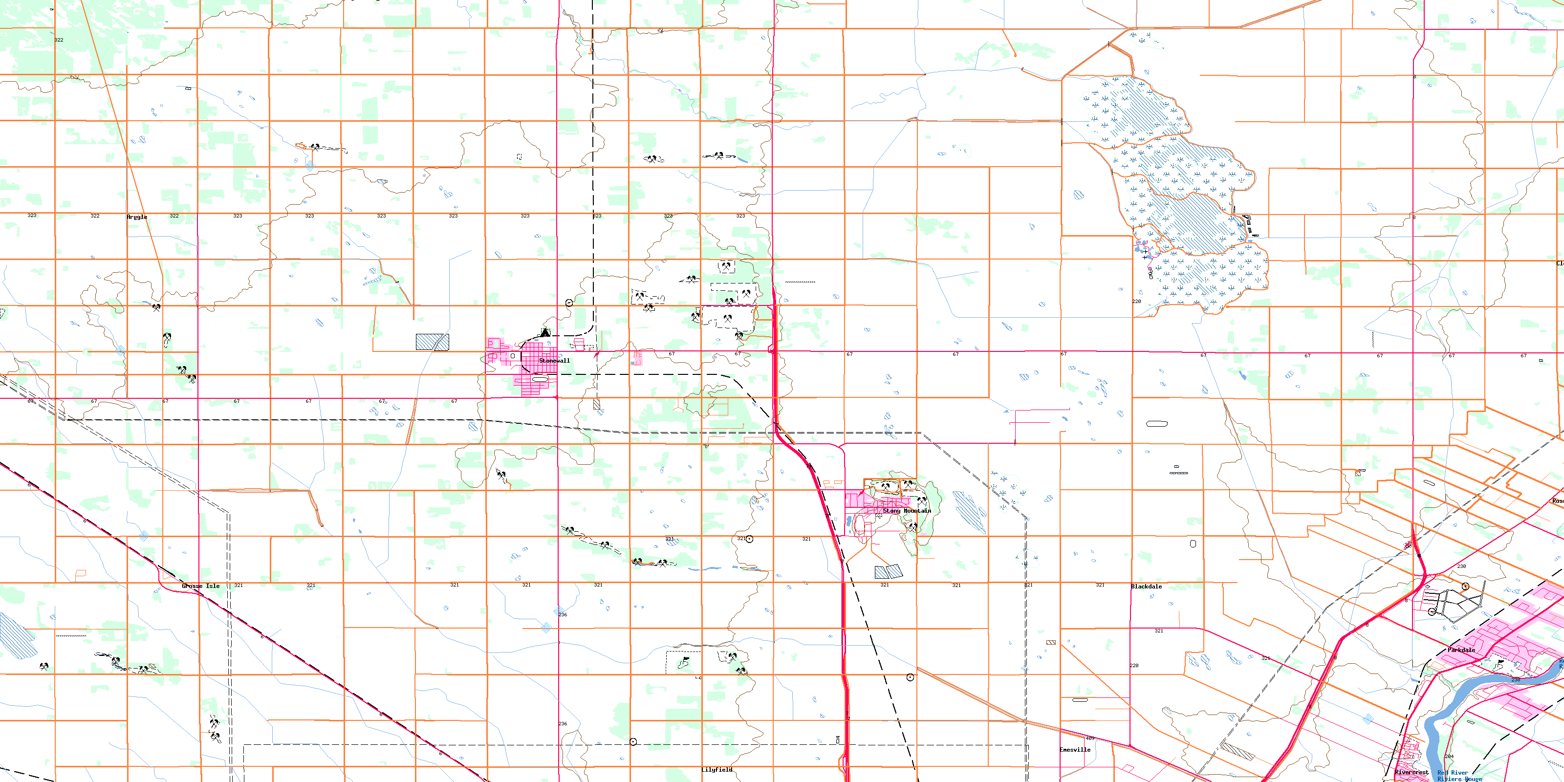
© Department of Natural Resources Canada. All rights reserved.
