Netley Marsh Topo Map Online
Download Free Topo Map Sheet 062I07 at 1:50,000 scale
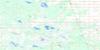
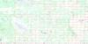
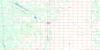
062I07 Netley Marsh Topo Map
To view this map, mouse over the map preview on the right.
You can also download this topo map for free:
062I07 Netley Marsh high-resolution topo map image.
Maps for the Netley Marsh topo map sheet 062I07 at 1:50,000 scale are also available in these versions:
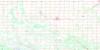
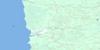
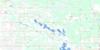
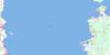
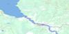
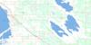
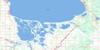
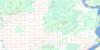
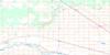
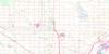
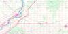
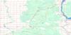
Netley Marsh Surrounding Area Topo Maps
 |
 |
 |
 |
 |
 |
 |
 |
 |
 |
 |
 |
 |
 |
 |
 |
© Department of Natural Resources Canada. All rights reserved.
Netley Marsh Gazetteer
The following places can be found on topographic map sheet 062I07 Netley Marsh:
Netley Marsh Topo Map: Bays
Balsam BayPruden Bay
Netley Marsh Topo Map: Beaches
Beaconia BeachNetley Marsh Topo Map: Capes
Dunnottar PointSandy Point
Stephenson Point
Stoney Point
Whittles Point
Netley Marsh Topo Map: Channels
Crooked CreekCross Channel
Cross River
East Channel
West Channel
Netley Marsh Topo Map: Geographical areas
St. PetersNetley Marsh Topo Map: Hydraulic construction
Bruneau DrainFisher Drain
Whiskey Ditch
Netley Marsh Topo Map: Indian Reserves
Brokenhead 4Peguis 1D
Peguis 1E
Peguis 1F
Peguis 1G
St. Peters Fishing Station 1A
Netley Marsh Topo Map: Lakes
Anderson LakeBeaconia Lake
Boyd Lake
Clandeboye Ponds
Cochrane Lake
Cooks Lake
Folster Lake
Goldeye Lake
Gull Lake
Hardman Lake
Hardman Lakes
Hardmans Lakes
Harper Lake
Hughes Lake
Lac Winnipeg
Lake Winnipeg
Longbottoms Lake
Lower Devil Lake
McKay Lake
Mink Lake
Morrison Lake
Netley Lake
Oak Point Lake
Parisen Lake
Parisian Lake
Parisien Lake
Passwa Lake
Poplar Point Lake
Ramsay Lake
Starr Lake
Sullivans Lake
Swedish Lake
Upper Devil Lake
Wheelers Lake
Whittles Lake
Netley Marsh Topo Map: Mountains
Balsam Bay HillMars Sand Hills
Netley Marsh Topo Map: Other municipal/district area - miscellaneous
AlexanderBrokenhead
St. Andrews
St. Clements
Netley Marsh Topo Map: Conservation areas
Mars Hill Wildlife Management AreaNetley Creek Provincial Park
Netley Marsh Game Bird Refuge
Patricia Beach Provincial Park
Patricia Beach Provincial Recreation Park
Winnipeg Beach Provincial Park
Winnipeg Beach Provincial Recreation Park
Netley Marsh Topo Map: Rivers
Anderson CreekBrokenhead River
Cochrane Creek
Cooks Creek
Devil Creek
Devils Creek
Goldeye Creek
Horseshoe Creek
Little Devil Creek
Main Channel
Marais Creek
Maria Creek
McKay Creek
Medicine Creek
Mink Creek
Muckle Creek
Netley Creek
Oak Point Creek
Passwa Creek
Pruden Creek
Red River
Rivière Brokenhead
Rivière Rouge
Salamonia Channel
Straight Creek
Sullivans Creek
Swedish Creek
Triple Creek
Tugela Creek
Wavey Creek
Netley Marsh Topo Map: Road features
La Vérendrye TrailNetley Marsh Topo Map: Towns
Winnipeg BeachNetley Marsh Topo Map: Unincorporated areas
Almdals CoveBalsam Bay
Balsam Harbour
Beaconia
Breezy Point
Brokenhead Reserve
Chalet Beach
Gull Lake
Halcyon Cove
Island Beach
Lakeshore Heights
Libau
Matlock
Netley
Nettly Lake
Petersfield
Ponemah
Ponemah Beach
Poplar Park
Sans Souci
Sans Souci
Scanterbury
Sherwood
Whytewold
Netley Marsh Topo Map: Low vegetation
Netley MarshNetley Marsh Topo Map: Villages
Dunnottar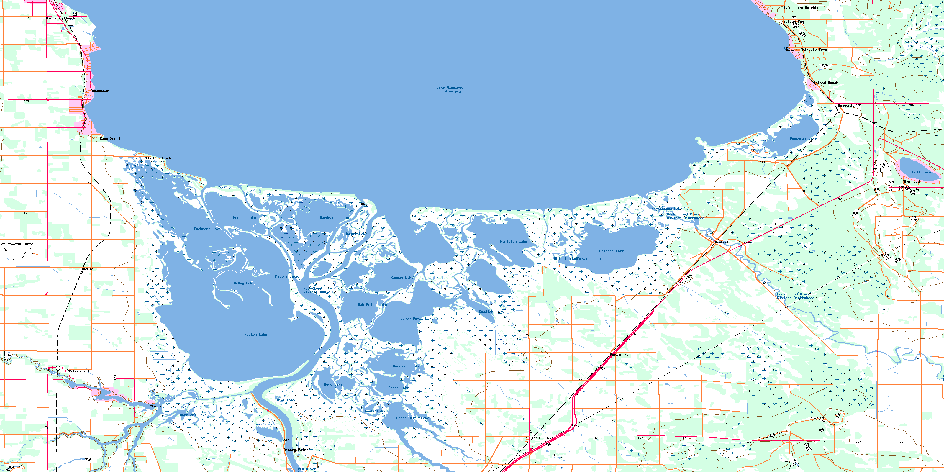
© Department of Natural Resources Canada. All rights reserved.
