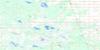
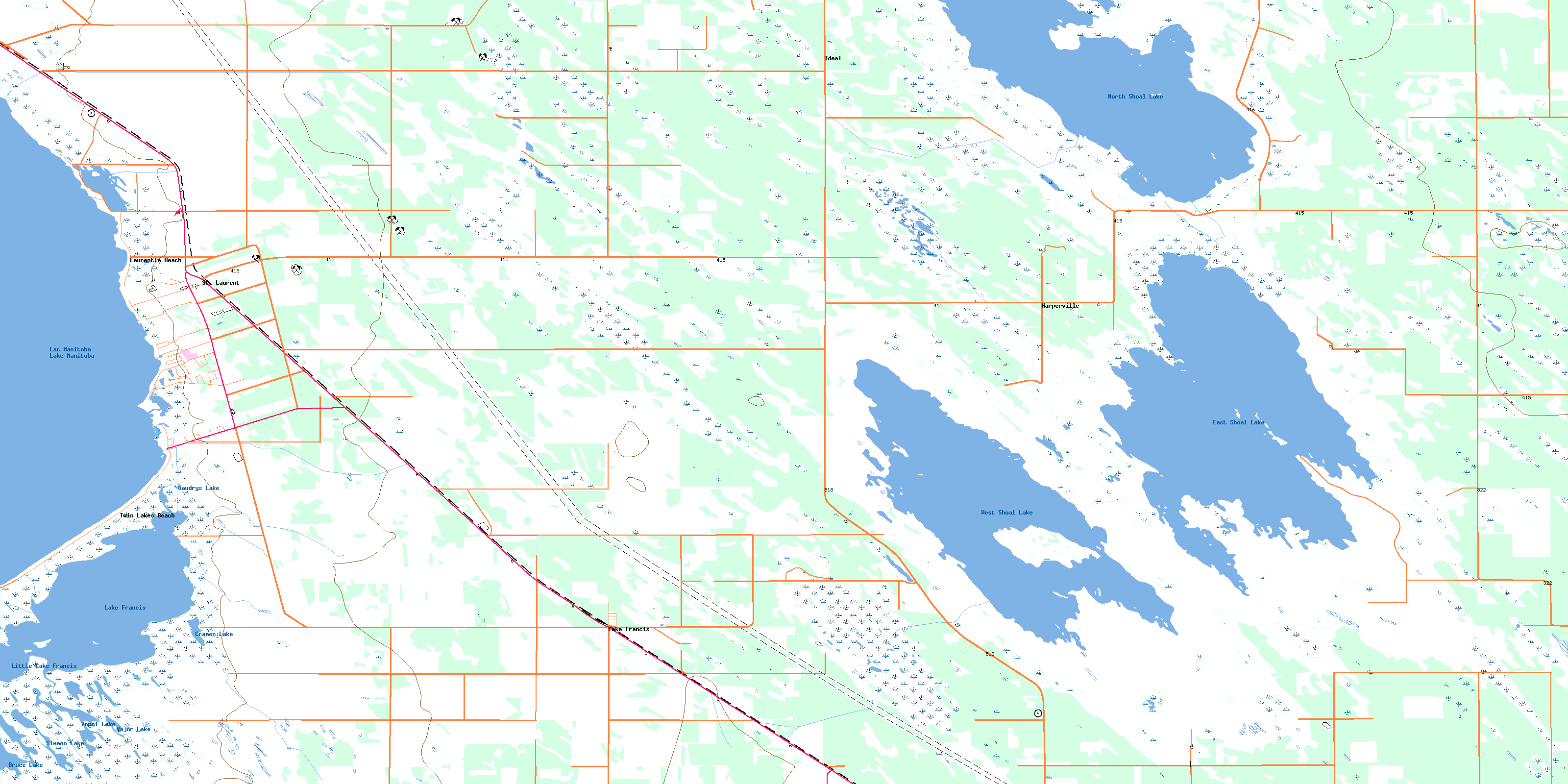
St Laurent Topo Map Online
Download Free Topo Map Sheet 062I05 at 1:50,000 scale
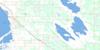
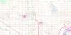
062I05 St Laurent Topo Map
To view this map, mouse over the map preview on the right.
You can also download this topo map for free:
062I05 St Laurent high-resolution topo map image.
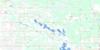
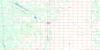
Maps for the St Laurent topo map sheet 062I05 at 1:50,000 scale are also available in these versions:
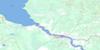
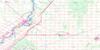
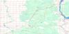
St Laurent Surrounding Area Topo Maps
 |
 |
 |
 |
 |
 |
 |
 |
 |
 |
 |
 |
 |
 |
 |
 |
© Department of Natural Resources Canada. All rights reserved.
St Laurent Gazetteer
The following places can be found on topographic map sheet 062I05 St Laurent:
St Laurent Topo Map: Bays
Chartrand BayGeorgie Bay
Mercier Bay
Merganser Bay
St Laurent Topo Map: Capes
Rocky PointSt Laurent Topo Map: Geographical areas
Oak Point SettlementSt. Laurent
St Laurent Topo Map: Lakes
Bruce LakeChief Lake
Cramer Lake
East Shoal Lake
Gaudrys Lake
Lac Manitoba
Lake Francis
Lake Francis
Lake Manitoba
Little Lake Francis
Major Lake
North Shoal Lake
Simmon Lake
Vopni Lake
West Shoal Lake
St Laurent Topo Map: Other municipal/district area - miscellaneous
ArmstrongSt. Laurent
Woodlands
St Laurent Topo Map: Conservation areas
Harperville Wildlife Management AreaInwood Wildlife Management Area
Lake Francis Wildlife Management Area
West Shoal Lake Game Bird Refuge
St Laurent Topo Map: Rivers
Beauchamps CreekCherry Creek
James Creek
Lamberts Creek
Moffats Creek
Pig Creek
Salt Creek
Viel Creek
Wilsons Creek
St Laurent Topo Map: Unincorporated areas
HarpervilleIdeal
Lake Francis
Laurentia Beach
Loch Monar
St. Laurent
Twin Lakes Beach
© Department of Natural Resources Canada. All rights reserved.
