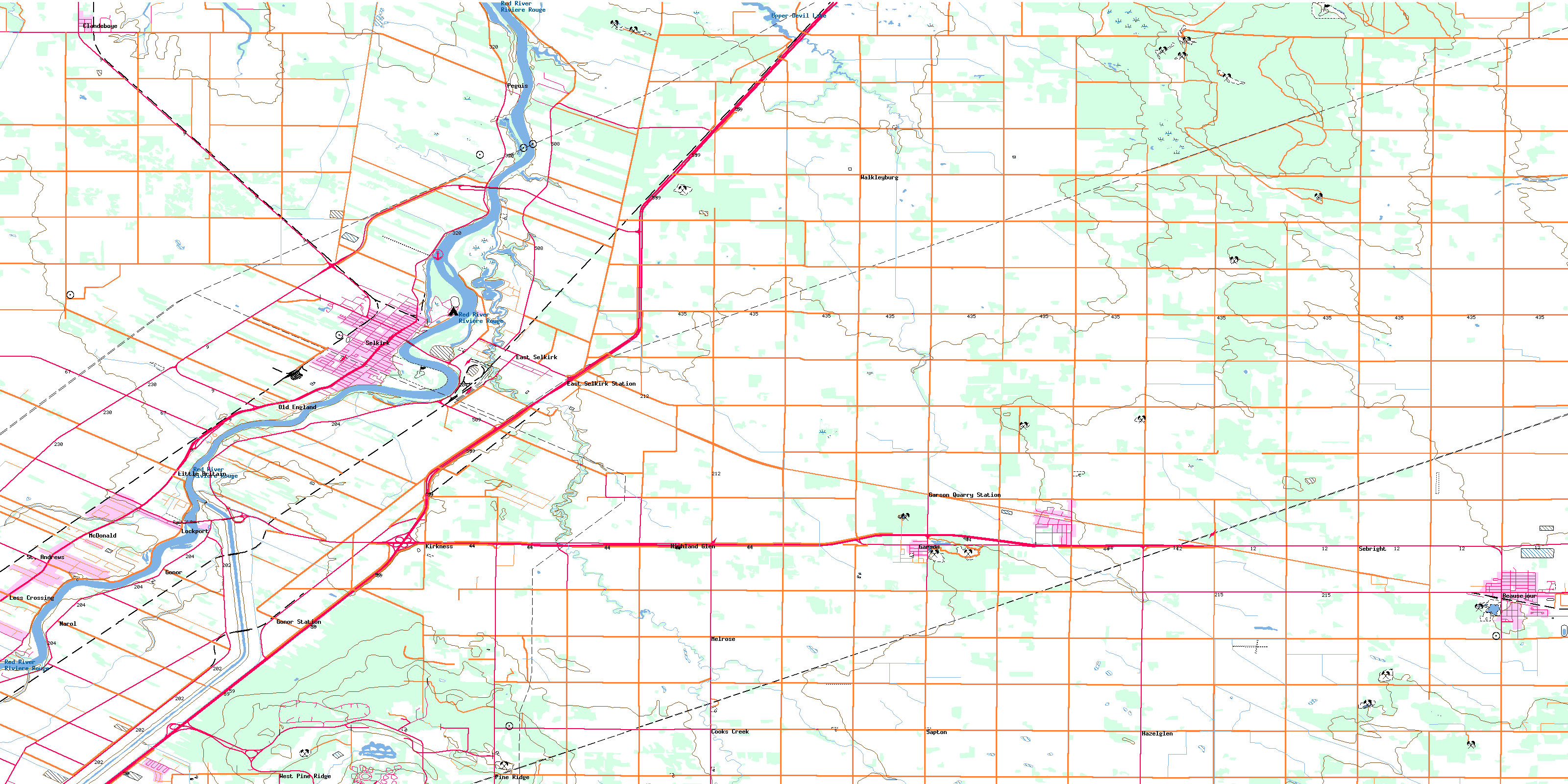
Selkirk Topo Map Online
Download Free Topo Map Sheet 062I02 at 1:50,000 scale
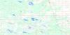
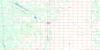
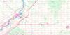
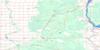
062I02 Selkirk Topo Map
To view this map, mouse over the map preview on the right.
You can also download this topo map for free:
062I02 Selkirk high-resolution topo map image.
Maps for the Selkirk topo map sheet 062I02 at 1:50,000 scale are also available in these versions:
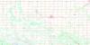
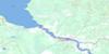
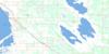
Selkirk Surrounding Area Topo Maps
 |
 |
 |
 |
 |
 |
 |
 |
 |
 |
 |
 |
 |
 |
 |
 |
© Department of Natural Resources Canada. All rights reserved.
Selkirk Gazetteer
The following places can be found on topographic map sheet 062I02 Selkirk:
Selkirk Topo Map: City
SelkirkSelkirk Topo Map: Geographical areas
St. AndrewsSt. Clements
St. Paul
St. Pauls
St. Peters
Selkirk Topo Map: Hydraulic construction
Bruneau DrainCanal de dérivation de la Rivière Rouge
Cloverdale Road Drain
Red River Floodway
Township Line Drain
Selkirk Topo Map: Indian Reserves
Peguis 1HPeguis 1I
Selkirk Topo Map: Islands
Crescent IslandSugar Island
Selkirk Topo Map: Lakes
Beausejour PondBirds Hill Lake
Garson Pond
Glass Lake
Kingfisher Lake
Upper Devil Lake
Selkirk Topo Map: Mountains
Griffiths HillMars Sand Hills
Pope John Paul II Hill
Wolverine Hill
Selkirk Topo Map: Other municipal/district area - miscellaneous
BrokenheadEast St. Paul
Springfield
St. Andrews
St. Clements
Selkirk Topo Map: Conservation areas
Birds Hill Provincial ParkLieu historique national du Canada de Lower Fort Garry
Lieu historique national du Canada du Presbytère-St. Andrew's
Lockport Provincial Park
Lower Fort Garry National Historic Site of Canada
Mars Hill Wildlife Management Area
River Road Provincial Park
St. Andrew's Rectory National Historic Site of Canada
Selkirk Topo Map: Rivers
Cook CreekCooks Creek
Devil Creek
Devils Creek
Dubas Creek
Gunns Creek
Medicine Creek
Mirey Creek
Muckle Creek
Red River
Rivière Rouge
Satans Creek
Selkirk Topo Map: Road features
La Vérendrye TrailSt. Peters Dynevor Bridge
Selkirk Topo Map: Towns
BeausejourSelkirk Topo Map: Unincorporated areas
BradburyBrainerd
Clandeboye
Cooks Creek
Dynevor
East Selkirk
East Selkirk Station
Fort Garry
Fullers
Garson Quarry
Garson Quarry Station
Gonor
Gonor Station
Hazelglen
Highland Glen
Kirkness
Less Crossing
Little Britain
Lockport
McDonald
Melrose
Narol
Old England
Peguis
Pine Ridge
Saldo
Sand Hill
Sapton
Sebright
Semple
St. Andrews
Tyndall
Victoria Park
Walkleyburg
West Pine Ridge
Selkirk Topo Map: Villages
GarsonLyall
© Department of Natural Resources Canada. All rights reserved.
