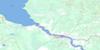
Fraserwood Topo Map Online
Download Free Topo Map Sheet 062I11 at 1:50,000 scale
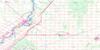
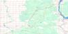
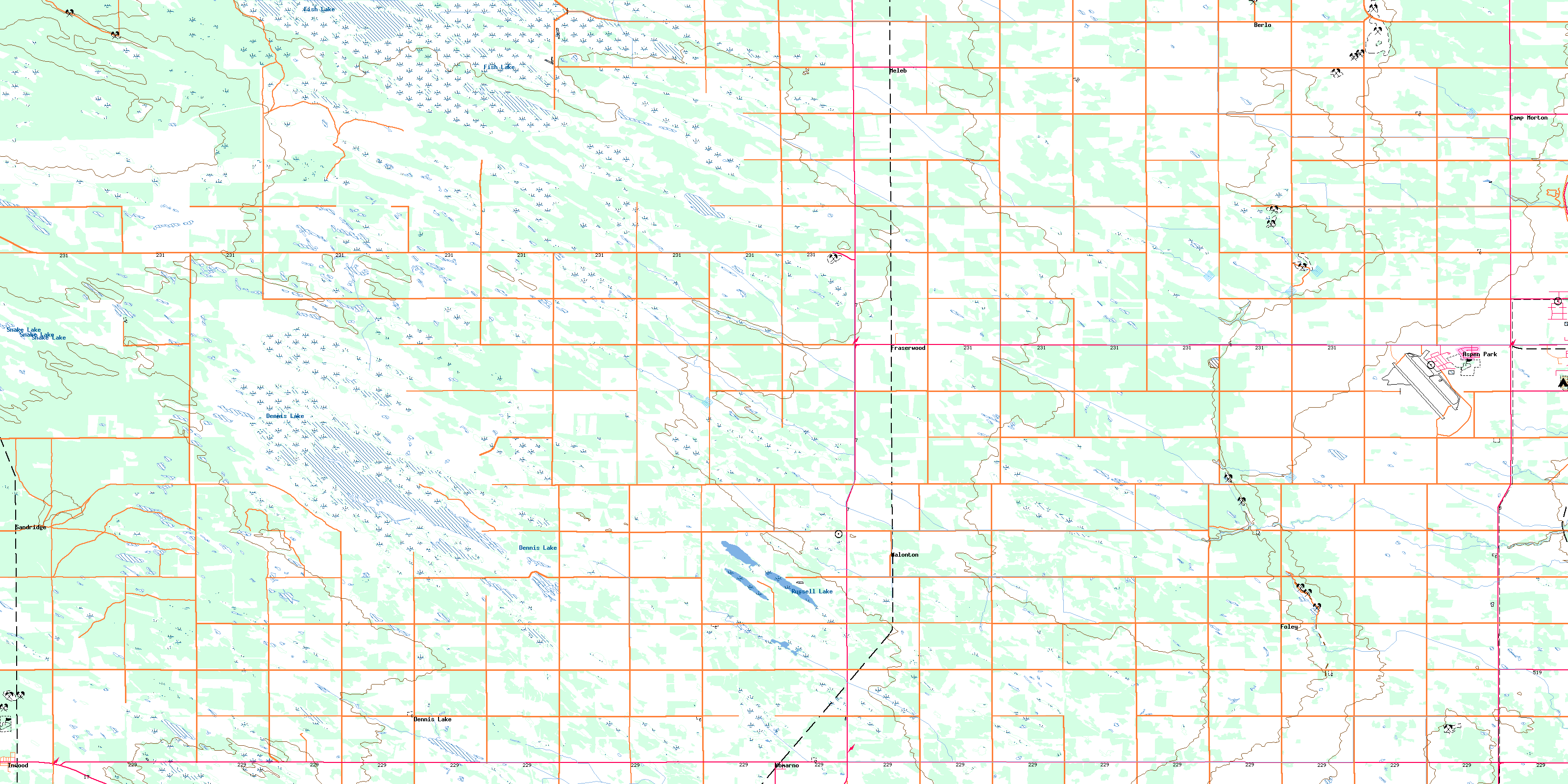
062I11 Fraserwood Topo Map
To view this map, mouse over the map preview on the right.
You can also download this topo map for free:
062I11 Fraserwood high-resolution topo map image.
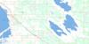
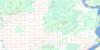
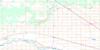
Maps for the Fraserwood topo map sheet 062I11 at 1:50,000 scale are also available in these versions:
Fraserwood Surrounding Area Topo Maps
 |
 |
 |
 |
 |
 |
 |
 |
 |
 |
 |
 |
 |
 |
 |
 |
© Department of Natural Resources Canada. All rights reserved.
Fraserwood Gazetteer
The following places can be found on topographic map sheet 062I11 Fraserwood:
Fraserwood Topo Map: Hydraulic construction
Fish Lake DrainMeleb Drain
Rembrandt Drain
Fraserwood Topo Map: Lakes
Chatfield LakeDennis Lake
Fish Lake
Russell Lake
Snake Lake
Tern Pond
Fraserwood Topo Map: Other municipal/district area - miscellaneous
ArmstrongGimli
Rockwood
St. Andrews
Fraserwood Topo Map: Conservation areas
Camp Morton Provincial ParkCamp Morton Provincial Recreation Park
Sandridge Wildlife Management Area
Fraserwood Topo Map: Rivers
Boundary CreekNetley Creek
Osier Creek
Willow Creek
Fraserwood Topo Map: Road features
Veterans Memorial HighwayFraserwood Topo Map: Unincorporated areas
Aspen ParkBender
Berlo
Camp Morton
Dennis Lake
Foley
Fraserwood
Gimli Industrial Park
Inwood
Komarno
Malonton
Meleb
Sandridge
Shorepointe Village
© Department of Natural Resources Canada. All rights reserved.
