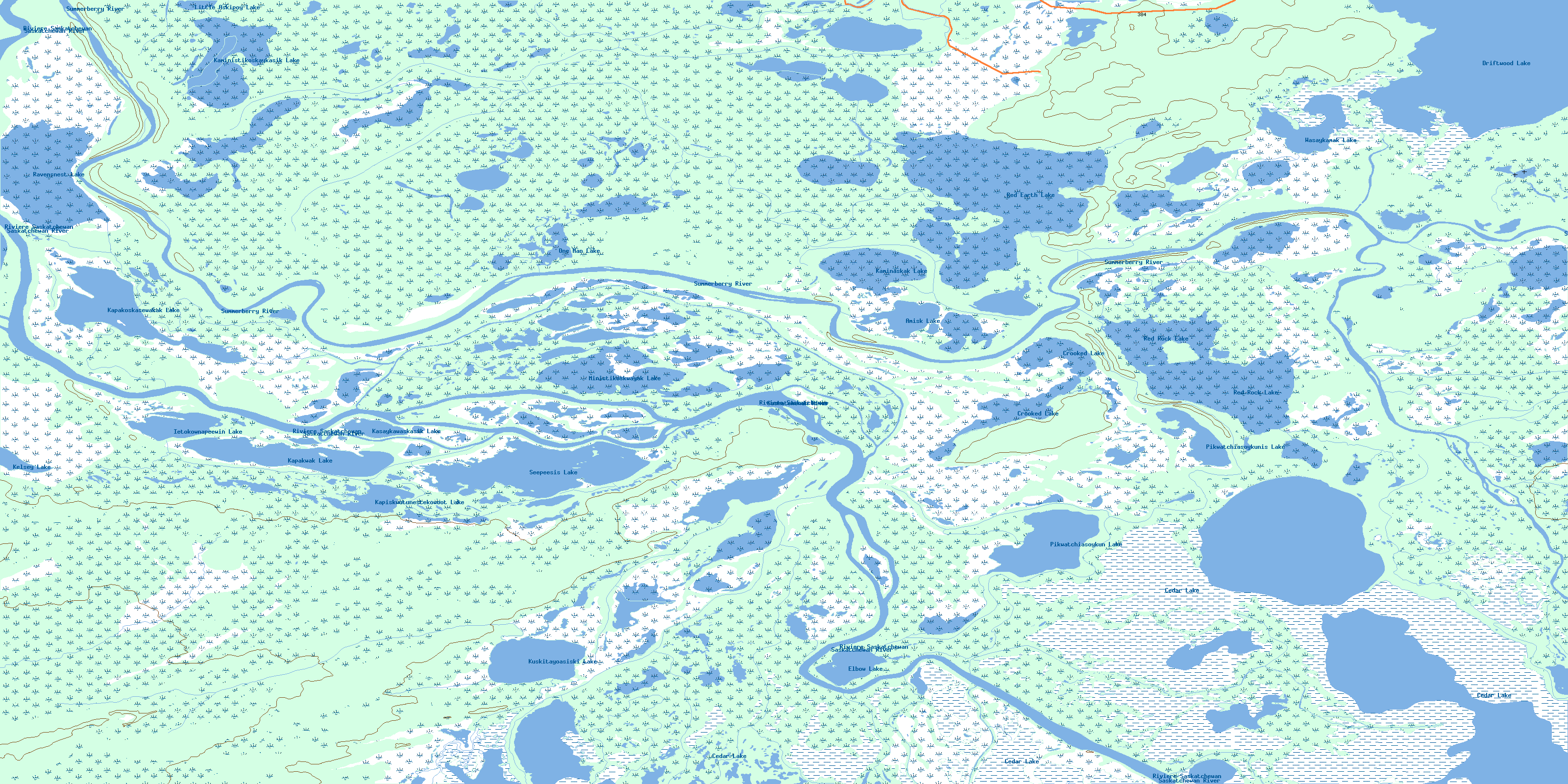
Red Earth Lake Topo Map Online
Download Free Topo Map Sheet 063F10 at 1:50,000 scale
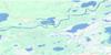
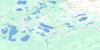
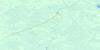
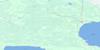
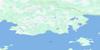
063F10 Red Earth Lake Topo Map
To view this map, mouse over the map preview on the right.
You can also download this topo map for free:
063F10 Red Earth Lake high-resolution topo map image.
Maps for the Red Earth Lake topo map sheet 063F10 at 1:50,000 scale are also available in these versions:
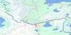
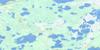
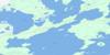
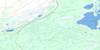
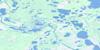
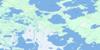
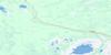
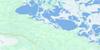
Red Earth Lake Surrounding Area Topo Maps
 |
 |
 |
 |
 |
 |
 |
 |
 |
 |
 |
 |
 |
 |
 |
 |
© Department of Natural Resources Canada. All rights reserved.
Red Earth Lake Gazetteer
The following places can be found on topographic map sheet 063F10 Red Earth Lake:
Red Earth Lake Topo Map: Bays
Head River BayRed Earth Lake Topo Map: Hydraulic construction
Red Earth Lake Control StructureRed Earth Lake Topo Map: Islands
Hill IslandKakeenoskak Island
Lower Hill Island
Red Earth Lake Topo Map: Lakes
Amisk LakeApakoskasewakak Lake
Bradley Lake
Cedar Lake
Crooked Lake
Driftwood Lake
Elbow Lake
Ietokownapeewin Lake
Kaminaskak Lake
Kaministikoskaykasik Lake
Kapakoskasewakak Lake
Kapakwak Lake
Kapiskwutunestekowoot Lake
Kasaykawaskasik Lake
Kelsey Lake
Kuskitayoasiski Lake
Little Askipoy Lake
Ministikoskwayak Lake
One Man Lake
Pikwatchiasoykun Lake
Pikwatchiasoykunis Lake
Ravensnest Lake
Red Earth Lake
Red Rock Lake
Seepeesis Lake
Wasaykamak Lake
Red Earth Lake Topo Map: Conservation areas
Red Rock Ecological ReserveTom Lamb Wildlife Management Area
Red Earth Lake Topo Map: Rivers
Baptising CreekBeaver Creek
Head River
Lobstick Creek
McKenzie Creek
Mistuhe Creek
Namaypin Creek
Rivière Saskatchewan
Rosebud Creek
Saskatchewan River
Summerberry River
Red Earth Lake Topo Map: Road features
Moose Lake RoadOne Man Portage
Red Earth Lake Topo Map: Unincorporated areas
MetikewapPine Bluff
© Department of Natural Resources Canada. All rights reserved.
063F Related Maps:
063F The Pas063F01 Mossy Portage
063F02 Spruce Island
063F03 Overflowing River
063F04 Chemong Creek
063F05 Turnberry
063F06 No Title
063F07 Connolly Bay
063F08 Kokookuhoo Island
063F09 Lamb Lake
063F10 Red Earth Lake
063F11 Pasquia Lake
063F12 Culdesac Lake
063F13 Barrier Lake
063F14 The Pas
063F15 Landry Lake
063F16 Crossing Bay
