Hungerford Lakes Topo Map Online
Download Free Topo Map Sheet 072F12 at 1:50,000 scale
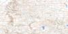
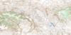
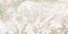
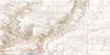
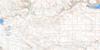
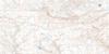
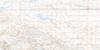
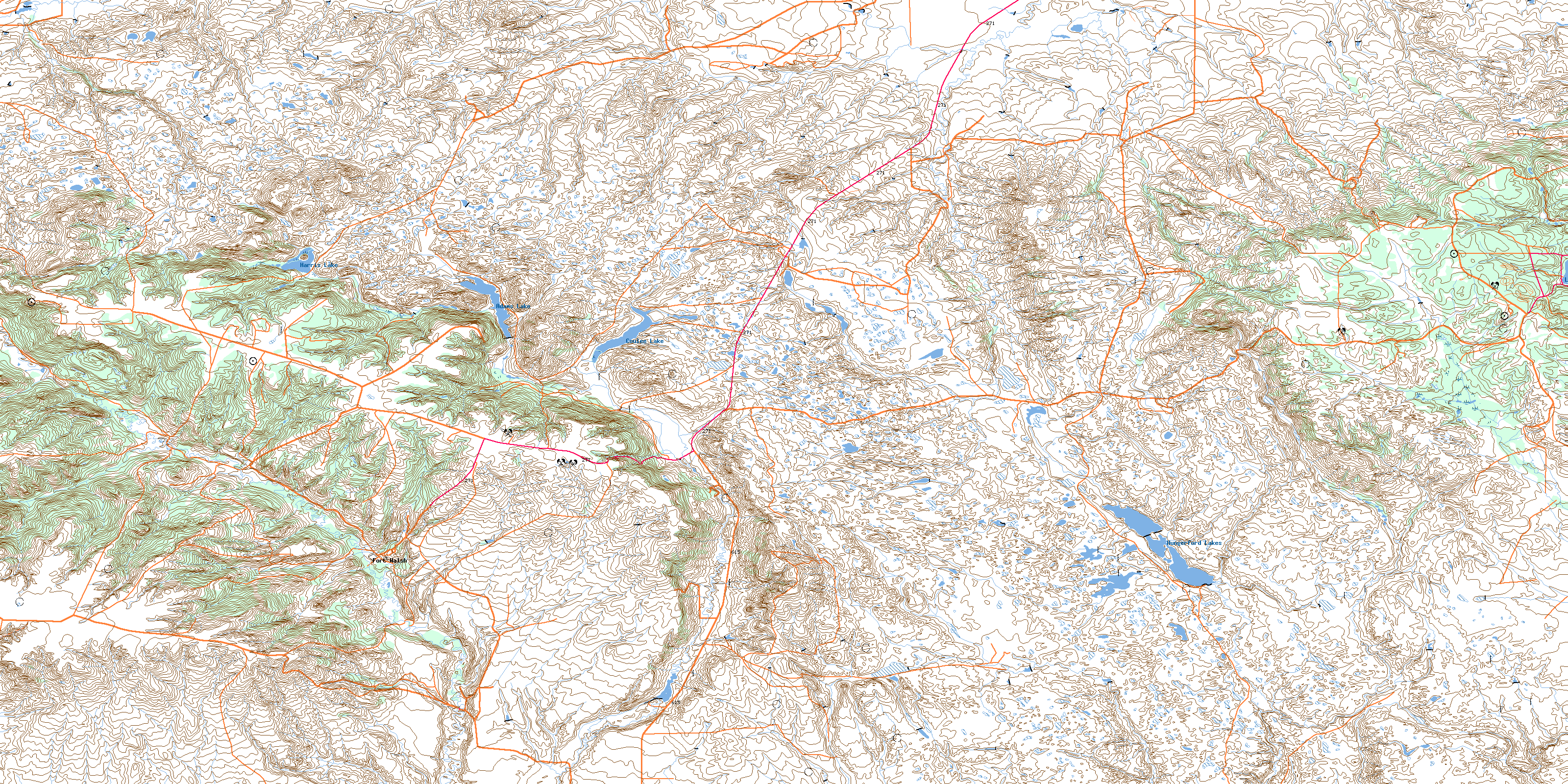
072F12 Hungerford Lakes Topo Map
To view this map, mouse over the map preview on the right.
You can also download this topo map for free:
072F12 Hungerford Lakes high-resolution topo map image.
Maps for the Hungerford Lakes topo map sheet 072F12 at 1:50,000 scale are also available in these versions:
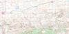
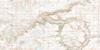
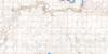
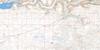
Hungerford Lakes Surrounding Area Topo Maps
 |
 |
 |
 |
 |
 |
 |
 |
 |
 |
 |
 |
 |
 |
 |
 |
© Department of Natural Resources Canada. All rights reserved.
Hungerford Lakes Gazetteer
The following places can be found on topographic map sheet 072F12 Hungerford Lakes:
Hungerford Lakes Topo Map: Indian Reserves
Nekaneet Cree NationHungerford Lakes Topo Map: Lakes
Adams LakeCoulee Lake
Harris Lake
Hungerford Lakes
Loch Leven
Loch Lomond
Hungerford Lakes Topo Map: Mountains
Cypress HillsHungerford Lakes Topo Map: Other municipal/district area - miscellaneous
Maple Creek No. 111Reno No. 51
Hungerford Lakes Topo Map: Conservation areas
Cypress Hills Massacre National Historic Site of CanadaCypress Hills Provincial Forest
Cypress Hills Provincial Park
Fort Walsh National Historic Site of Canada
Lieu historique national du Canada du Fort-Walsh
Lieu historique national du Canada du Massacre de Cypress Hills
Hungerford Lakes Topo Map: Rivers
Adams CreekAdams Creek
Battle Creek
Benson Creek
Boiler Creek
Boxelder Creek
Crichton Creek
Cypress Creek
Fort Walsh Creek
Gap Creek
McShane Creek
Mull Creek
Nine Mile Creek
Oxarat Creek
Shafer Creek
Shaw Creek
Sucker Creek
Hungerford Lakes Topo Map: Unincorporated areas
Battle CreekCypress Hills Park
Fort Walsh
Hungerford Lakes Topo Map: Valleys
Concrete CouleeDorval Coulee
Menin Coulee
The Gap
Weldon Coulee
Whites Coulee
Wylie Coulee
© Department of Natural Resources Canada. All rights reserved.
072F Related Maps:
072F Cypress Lake072F01 Climax
072F02 Frontier
072F03 Lyons Creek
072F04 Willow Creek
072F05 Consul
072F06 Ravenscrag
072F07 Eastbrook Coulee
072F08 Badland Lake
072F09 Shaunavon
072F10 Dollard
072F11 Fairwell Creek
072F12 Hungerford Lakes
072F13 Kincorth
072F14 Maple Creek
072F15 Skull Creek
072F16 Simmie
