Lac La Biche Topo Map Online
Download Free Topo Map Sheet 073L13 at 1:50,000 scale
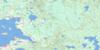
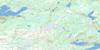
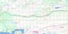
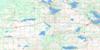
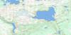
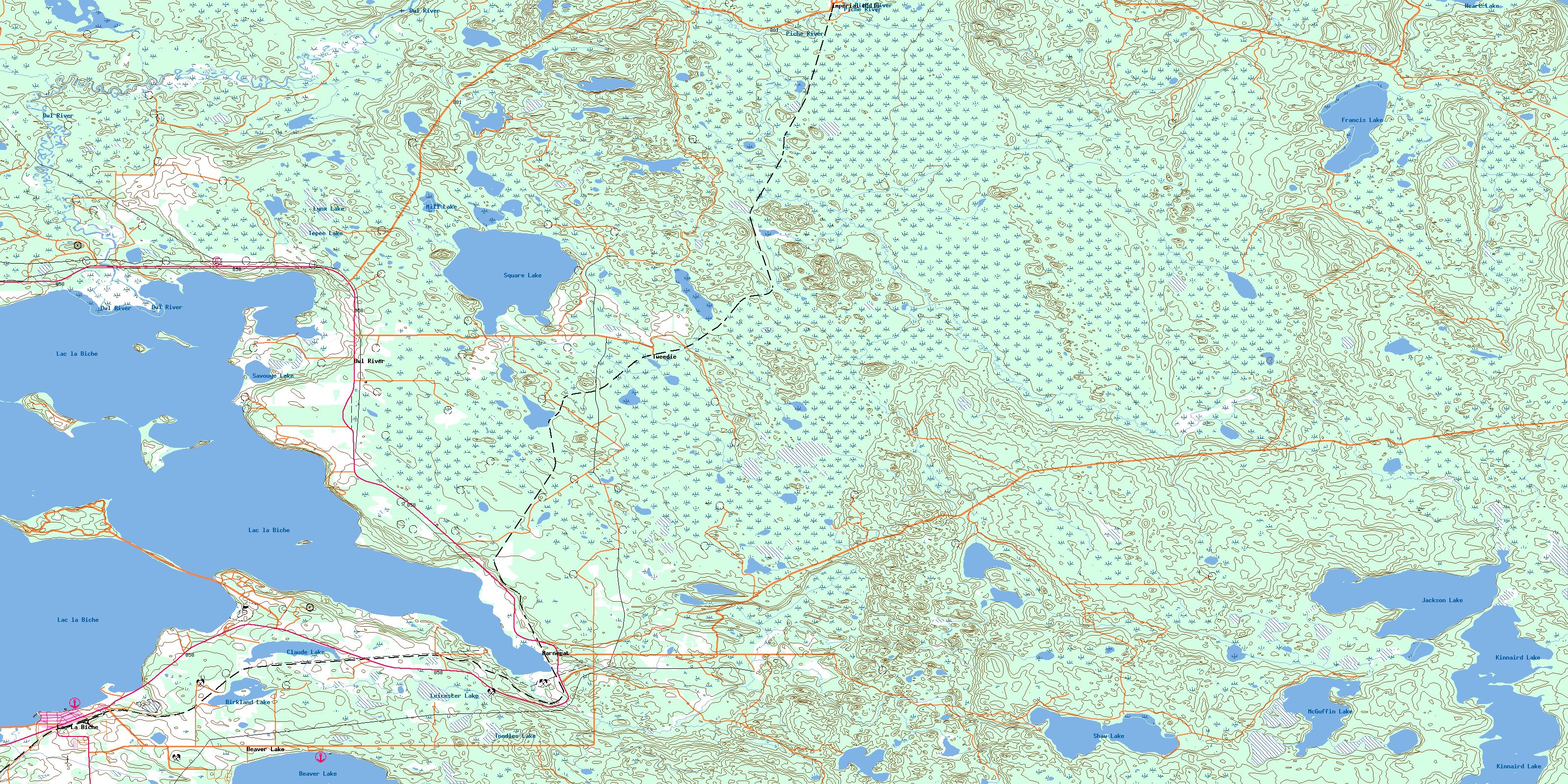
073L13 Lac La Biche Topo Map
To view this map, mouse over the map preview on the right.
You can also download this topo map for free:
073L13 Lac La Biche high-resolution topo map image.
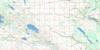
Maps for the Lac La Biche topo map sheet 073L13 at 1:50,000 scale are also available in these versions:
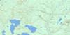
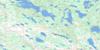
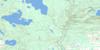
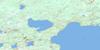
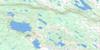
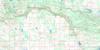
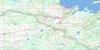
Lac La Biche Surrounding Area Topo Maps
 |
 |
 |
 |
 |
 |
 |
 |
 |
 |
 |
 |
 |
 |
 |
 |
© Department of Natural Resources Canada. All rights reserved.
Lac La Biche Gazetteer
The following places can be found on topographic map sheet 073L13 Lac La Biche:
Lac La Biche Topo Map: Indian Reserves
Heart Lake 167Lac La Biche Topo Map: Islands
Big IslandBirch Island
Currant Island
Long Island
Pelican Island
Red Fox Island
Lac La Biche Topo Map: Lakes
Beaver LakeBirkland Lake
Blackbird Lake
Cache Lake
Claude Lake
Francis Lake
Heart Lake
Jackson Lake
Kinnaird Lake
Lac la Biche
Leicester Lake
Lynx Lake
McGuffin Lake
Mill Lake
Savouye Lake
Shaw Lake
Square Lake
Tepee Lake
Toodles Lake
Lac La Biche Topo Map: Major municipal/district area - major agglomerations
Lakeland CountyMunicipal District of Bonnyville No. 87
Lac La Biche Topo Map: Conservation areas
Lakeland Provincial ParkSir Winston Churchill Provincial Park
Lac La Biche Topo Map: Rivers
Gull CreekOwl River
Piché River
Square Creek
Lac La Biche Topo Map: Towns
Lac La BicheLac La Biche Topo Map: Unincorporated areas
BarnegatBeaver Lake
Imperial Mills
Owl River
Tweedie
© Department of Natural Resources Canada. All rights reserved.
073L Related Maps:
073L Sand River073L01 Reita Lake
073L02 Muriel Lake
073L03 Vincent Lake
073L04 Cache Lake
073L05 Goodfish Lake
073L06 Goodridge
073L07 Bonnyville
073L08 Cold Lake
073L09 Marie Lake
073L10 Marguerite Lake
073L11 Pinehurst Lake
073L12 Beaver Lake
073L13 Lac La Biche
073L14 Touchwood Lake
073L15 Wolf River
073L16 Medley River
