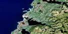
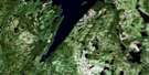
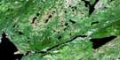
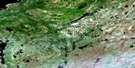
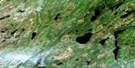
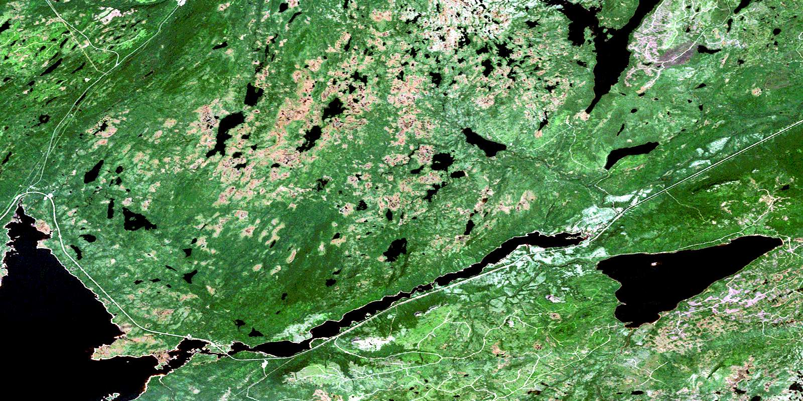
Sheffield Lake Satellite Image Map
Download Free Aerial Photo 012H07 at 1:50,000 scale
Sheffield Lake Satellite Imagery
To view this satellite map, mouse over the air photo on the right.
You can also download this satellite image map for free:
012H07 Sheffield Lake high-resolution satellite image map.
Maps for the Sheffield Lake aerial map sheet 012H07 at 1:50,000 scale are also available in these versions:
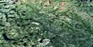
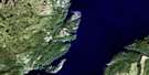
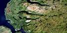
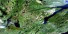
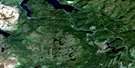
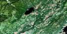
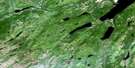
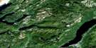
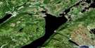
Sheffield Lake Surrounding Area Aerial Photo Maps
 |
 |
 |
 |
 |
 |
 |
 |
 |
 |
 |
 |
 |
 |
 |
 |
© Department of Natural Resources Canada. All rights reserved.
Sheffield Lake Gazetteer
The following places can be found on satellite image map 012H07 Sheffield Lake:
Sheffield Lake Satellite Image: Bays
Seal BayTea Bay
Sheffield Lake Satellite Image: Lakes
Barren PondBirchy Lake
Cormiers Pond
Diamonds Pond
Faulkners Pond
Fifth Pond
Gillards Lake
Island Pond
Kite Pond
Lake Buck
Lynx Pond
Moose Pond
Moose Pond
Perrys Pond
Pittmans Pond
Rushy Pond
Sandy Lake
Second Pond
Seventy-second Pond
Sheffield Lake
Sixth Pond
Strattons Pond
Taylors Pond
Taylors Pond
Upper Indian Pond
Wigwam Pond
Sheffield Lake Satellite Image: Mountains
Mount SeemoreMount Sykes
The Topsails
Sheffield Lake Satellite Image: Rivers
Aldery BrookBig Chouse Brook
Bottom Brook
Eastern Brook
Flights Brook
Hampden River
Hampden River Southwest Branch
Hermans Brook
Indian Brook
Lidstones Brook
Main Brook
Moose Brook
Nichols Brook
North Brook
Oxfords Brook
Rocky Brook
Sheffield Brook
Southwest Brook
Upper Sheffield Brook
Voyins Brook
West Hampden River
White Spruce Brook
Wigwam Brook
© Department of Natural Resources Canada. All rights reserved.
012H Related Maps:
012H Sandy Lake012H01 Dawes Pond
012H02 The Topsails
012H03 Deer Lake
012H04 Pasadena
012H05 Lomond
012H06 Cormack
012H07 Sheffield Lake
012H08 Springdale
012H09 King's Point
012H10 Hampden
012H11 Silver Mountain
012H12 Gros Morne
012H13 St Pauls Inlet
012H14 Main River
012H15 Jackson's Arm
012H16 Baie Verte
