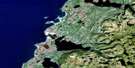
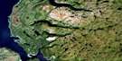
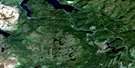
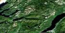
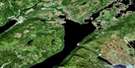
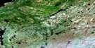
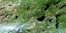
Deer Lake Satellite Image Map
Download Free Aerial Photo 012H03 at 1:50,000 scale
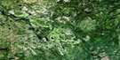
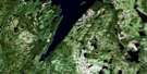
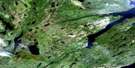
Deer Lake Satellite Imagery
To view this satellite map, mouse over the air photo on the right.
You can also download this satellite image map for free:
012H03 Deer Lake high-resolution satellite image map.
Maps for the Deer Lake aerial map sheet 012H03 at 1:50,000 scale are also available in these versions:
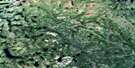
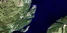
Deer Lake Surrounding Area Aerial Photo Maps
 |
 |
 |
 |
 |
 |
 |
 |
 |
 |
 |
 |
 |
 |
 |
 |
© Department of Natural Resources Canada. All rights reserved.
Deer Lake Gazetteer
The following places can be found on satellite image map 012H03 Deer Lake:
Deer Lake Satellite Image: Bays
Hicks CoveLynx Cove
Deer Lake Satellite Image: Capes
Blow Hard PointGrindstone Point
Hinds Point
Lunch Point
Wetstone Point
Deer Lake Satellite Image: Channels
Howley NarrowsThe Narrows
Deer Lake Satellite Image: Lakes
Bayleys PondBugging Hole
Burnt Pond
Deer Lake
First Pond
Fool Pond
Gillards Pond
Glide Brook Steady
Glide Lake
Goose Steadies
Grand Lake
Hinds Lake
Horseshoe Pond
Johnsons Pond
Lacey Pond
Lanes Pond
Long Pond
Moose Pond
North Siding Pond
Old Mans Pond
Parmiters Pond
Pumphouse Pond
Reader Pond
Sandy Lake
Station Pond
Twin Ponds
Upper Glide Lake
Vye Pond
Deer Lake Satellite Image: Mountains
Conical HillThe Topsails
Deer Lake Satellite Image: Conservation areas
Newfoundland T'Railway Provincial ParkDeer Lake Satellite Image: Rivers
Alder BrookBlue Grass Brook
Boot Brook
Coal Brook
Coal Brook
Crooked Feeder
East Branch Forty-Five Brook
Glide Brook
Goose Brook
Hinds Brook
Horseshoe Brook
Humber Canal
Johnsons Brook
Junction Brook
Kelvin Brook
Kettle Creek
Lanes Brook
Mary Ann Brook
McGregor Brook
Middle Branch
Nichols Brook
North Harbour Brook
Pynns Brook
Rocky Brook
Sawmill Brook
Spillway
The Main Brook
The Spillway
Thirty-fifth Brook
Thirty-first Brook
Thirty-ninth Brook
Trout Brook
Upper Humber River
West Rocky Brook
Deer Lake Satellite Image: Road features
Sandy DumpDeer Lake Satellite Image: Towns
Deer LakeHowley
Reidville
Deer Lake Satellite Image: Unincorporated areas
Humber CanalJunction Brook
Lake Siding
Lake Siding
Little Harbour
Main Dam
Nicholsville
Northern
Spillway
St. Judes
Deer Lake Satellite Image: Low vegetation
Intake Bog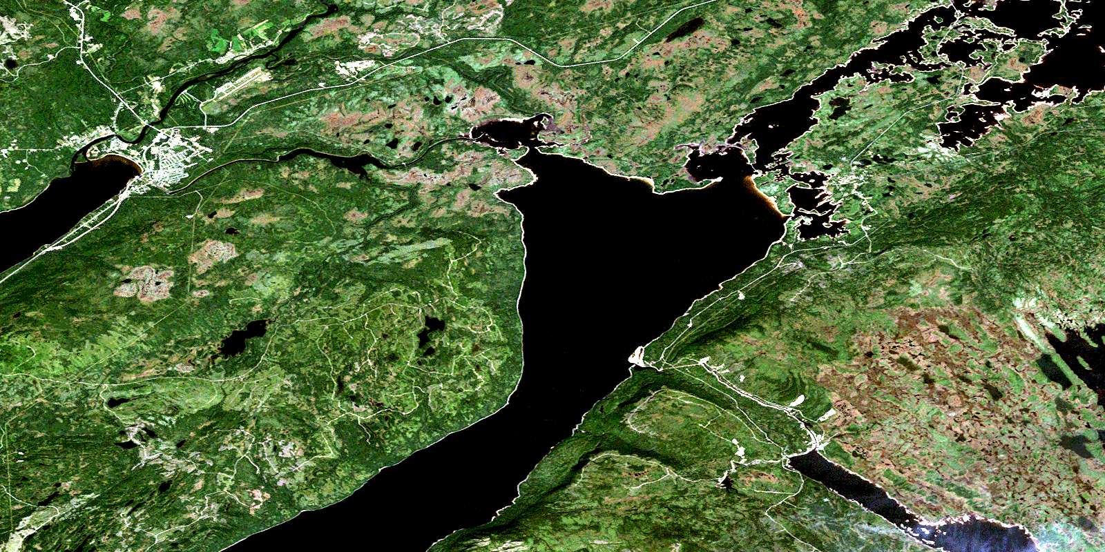
© Department of Natural Resources Canada. All rights reserved.
012H Related Maps:
012H Sandy Lake012H01 Dawes Pond
012H02 The Topsails
012H03 Deer Lake
012H04 Pasadena
012H05 Lomond
012H06 Cormack
012H07 Sheffield Lake
012H08 Springdale
012H09 King's Point
012H10 Hampden
012H11 Silver Mountain
012H12 Gros Morne
012H13 St Pauls Inlet
012H14 Main River
012H15 Jackson's Arm
012H16 Baie Verte
