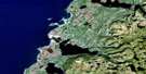
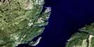
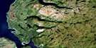
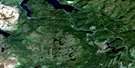
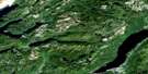
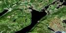
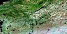
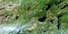
St Pauls Inlet Satellite Image Map
Download Free Aerial Photo 012H13 at 1:50,000 scale
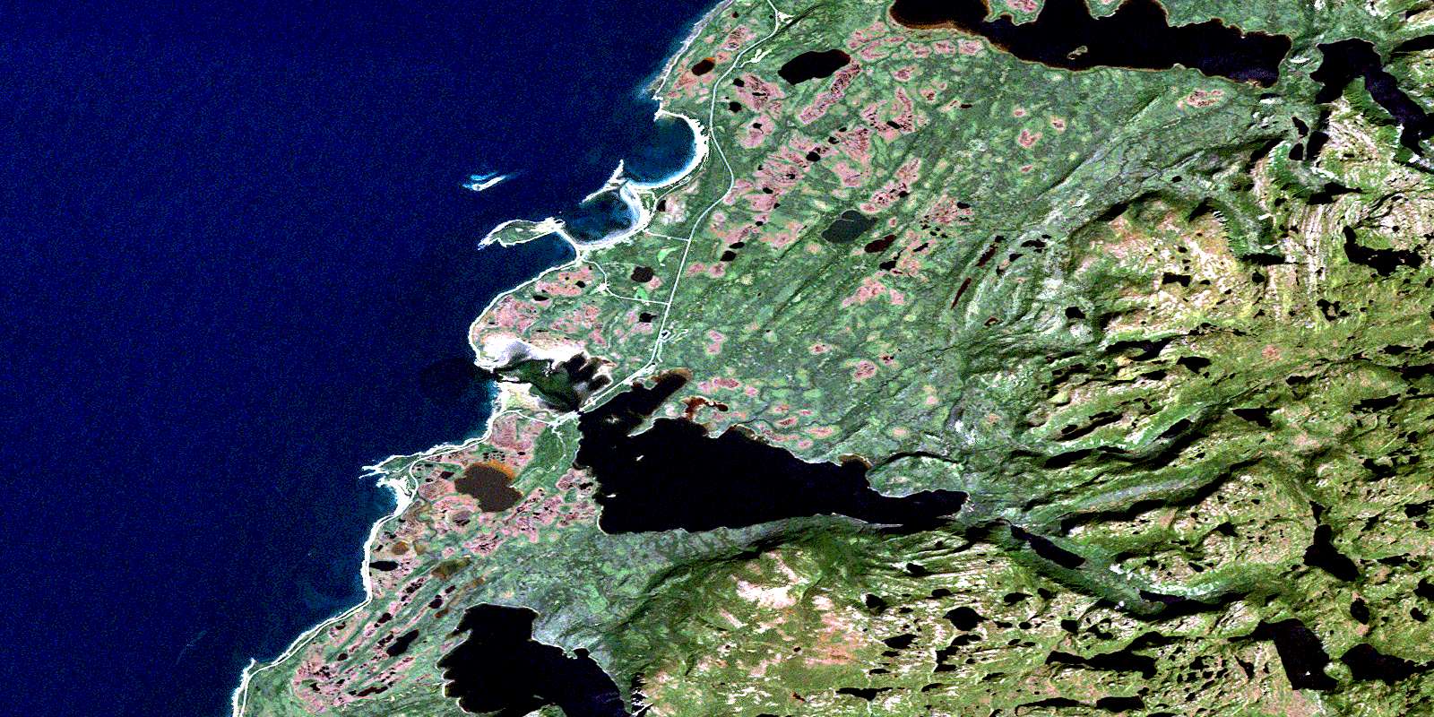
St Pauls Inlet Satellite Imagery
To view this satellite map, mouse over the air photo on the right.
You can also download this satellite image map for free:
012H13 St Pauls Inlet high-resolution satellite image map.
Maps for the St Pauls Inlet aerial map sheet 012H13 at 1:50,000 scale are also available in these versions:
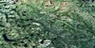
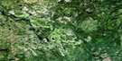
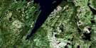
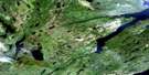
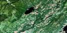
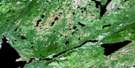
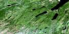
St Pauls Inlet Surrounding Area Aerial Photo Maps
 |
 |
 |
 |
 |
 |
 |
 |
 |
 |
 |
 |
 |
 |
 |
 |
© Department of Natural Resources Canada. All rights reserved.
St Pauls Inlet Gazetteer
The following places can be found on satellite image map 012H13 St Pauls Inlet:
St Pauls Inlet Satellite Image: Bays
Alex CoveCow Cove
Cow Head Harbour
Eastern Arm
Eastern Brook Cove
Golfe du Saint-Laurent
Gulf of St. Lawrence
Lower Cove
Shallow Bay
Snug Harbour
St. Pauls Bay
St. Pauls Inlet
St Pauls Inlet Satellite Image: Capes
Broom PointButton Point
Cow Head
Downes Point
Lower Head
Martin Point
Northern Peninsula
Sandy Point
St. Pauls Point
White Point
St Pauls Inlet Satellite Image: Channels
Inner NarrowsSt Pauls Inlet Satellite Image: Falls
The OverfallsSt Pauls Inlet Satellite Image: Islands
Belldowns IslandsLittle Island
Middle Island
Stearin Island
Stearing Island
The Brandies
Western Island
White Rock Islets
St Pauls Inlet Satellite Image: Lakes
Big PondBills Pond
Bottom Pond
Clifty Pond
Country Camp Pond
Crossing Place Pond
Crossing Place Pond
Diver Pond
Donalds Pond
Downes Pond
Dry Brook Pond
Eastern Brook Ponds
Flat Pond
Gull Pond Steady
Inner Big Pond
Inner Bottom Pond
Inner Long Pond
Inside Bottom Pond
Island Pond
Jerrys Pond
Jim Vincent Pond
Jim Vincents Pond
Lewis Pond
Little Pond
Little Pond
Long Cat Path
Long Pond
Long Pond
Long Steady
Lower Long Pond
Narrows Pond
Nedys Hole Pond
Nedys Hole Pond
Outer Big Pond
Outer Long Pond
Parsons Pond
Rocky Pond
Round Steady
Sandy Pond
Side Camp Pond
St. Pauls Big Pond
St. Pauls Long Pond
Steady Pond
The Barachois
The Steady
Triangle Pond
Two Mile Pond
Wallaces Pond
Western Brook Pond
Western Hill Pond
St Pauls Inlet Satellite Image: Mountains
Eastern Brook MountainsHummock
Hungry Hill
Jim Vincents Lookout
Long Range Mountains
Parsons Pond Hill
Rock Cut
The Elephant
Western Brook Hill
Western Hill
St Pauls Inlet Satellite Image: Conservation areas
Gros Morne National Park of CanadaGros Morne National Park World Heritage Site
Parc national du Canada du Gros-Morne
Site du patrimoine mondial du Parc national du Gros-Morne
St Pauls Inlet Satellite Image: Plains
The Crossing PlaceThe Crossing Place
St Pauls Inlet Satellite Image: Rivers
Alex BrookBlack Brook
East Brook
Eastern Arm Brook
Eastern Arm Brook East Branch
Eastern Arm Brook North Branch
Eastern Brook
Little Brook
Little Pond Gulch
Middle Brook
Otter Brook
Overfall Brook
Parsons Pond River
Pork Cake Brook
Slants River
St. Pauls River
Stanford River
Wallaces Gulch
West Brook
Western Brook
St Pauls Inlet Satellite Image: Shoals
Evangeline BanksIndrie Rock
Shag Rock
The Whaleback
Tortoise Rock
St Pauls Inlet Satellite Image: Towns
Cow HeadSt. Pauls
St Pauls Inlet Satellite Image: Unincorporated areas
Gulls MarshThree Mile Rock
St Pauls Inlet Satellite Image: Valleys
Big GulchBottom Gulch
Daniels Gulch
Eastern Brook Gulch
Jim Paynes Gulch
Mare Gulch
Nedys Hole Gulch
Rainy Gulch
Turnback Gulch
Western Hill Gulch
St Pauls Inlet Satellite Image: Low vegetation
Big MishGulls Marsh
Partridge Berry Barrens
Sandy Barren
Yellow Marsh
© Department of Natural Resources Canada. All rights reserved.
012H Related Maps:
012H Sandy Lake012H01 Dawes Pond
012H02 The Topsails
012H03 Deer Lake
012H04 Pasadena
012H05 Lomond
012H06 Cormack
012H07 Sheffield Lake
012H08 Springdale
012H09 King's Point
012H10 Hampden
012H11 Silver Mountain
012H12 Gros Morne
012H13 St Pauls Inlet
012H14 Main River
012H15 Jackson's Arm
012H16 Baie Verte
