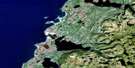
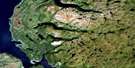
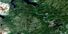
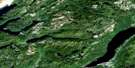
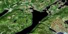
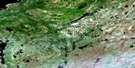
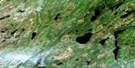
Hampden Satellite Image Map
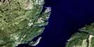
Download Free Aerial Photo 012H10 at 1:50,000 scale
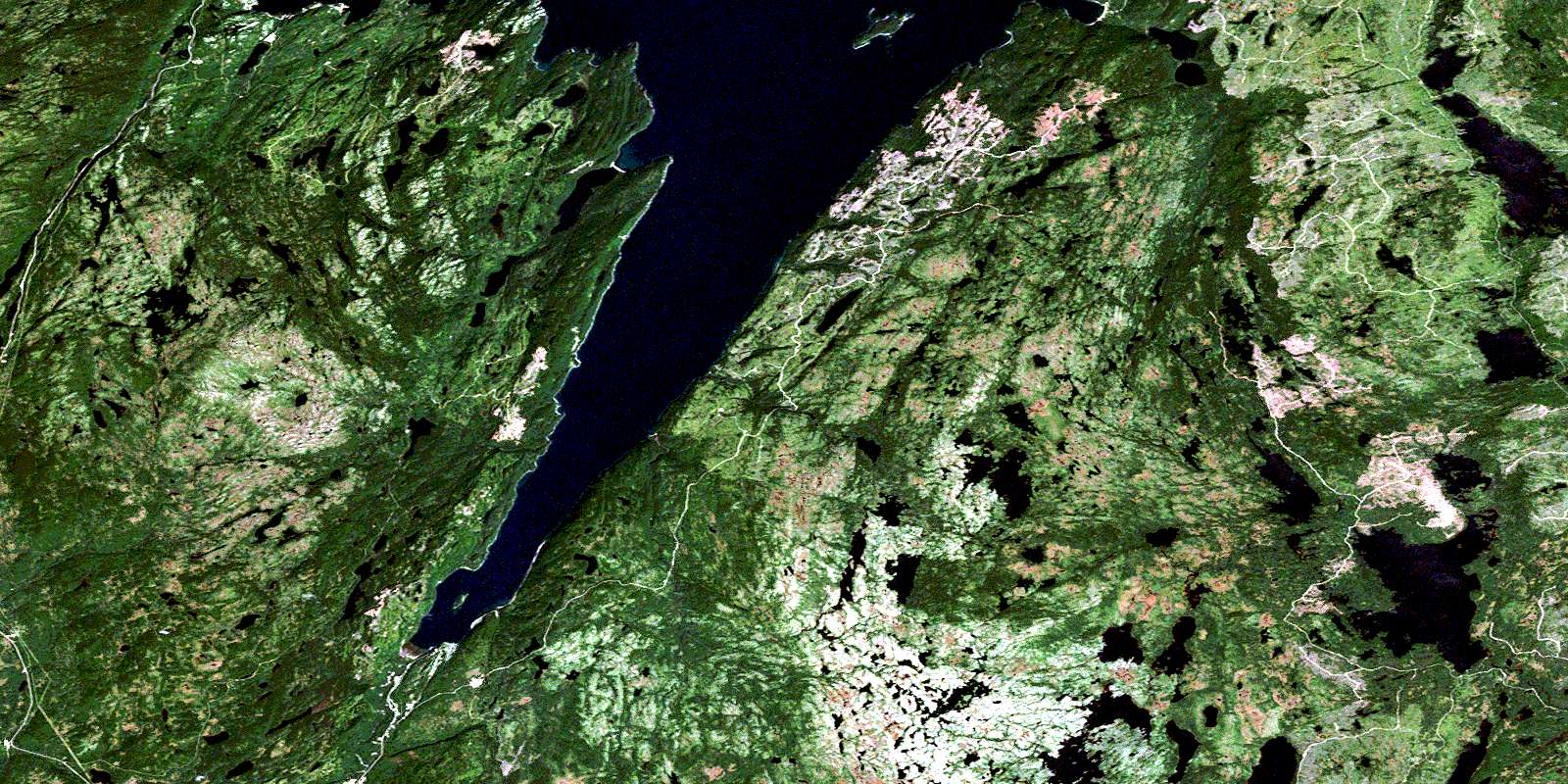
Hampden Satellite Imagery
To view this satellite map, mouse over the air photo on the right.
You can also download this satellite image map for free:
012H10 Hampden high-resolution satellite image map.
Maps for the Hampden aerial map sheet 012H10 at 1:50,000 scale are also available in these versions:
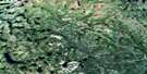
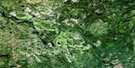
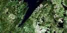
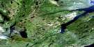
Hampden Surrounding Area Aerial Photo Maps
 |
 |
 |
 |
 |
 |
 |
 |
 |
 |
 |
 |
 |
 |
 |
 |
© Department of Natural Resources Canada. All rights reserved.
Hampden Gazetteer
The following places can be found on satellite image map 012H10 Hampden:
Hampden Satellite Image: Bays
Bailey CoveBear Gulch
Browns Cove
Burdens Cove
Burnt Head Cove
Clay Cove
Country Cove
East Anchorage
Georges Cove
Gold Cove
Gooseberry Cove
Hampden Bay
Hannah Cove
Little Pumbly Cove
Little Spear Cove
Morgan Cove
Natlins Cove
Pumbly Cove
Purbeck's Cove
Saltwater Cove
Sops Arm
South Anchorage
Spear Cove
Sprucy Cove
West Anchorage
White Bay
White Head Cove
Hampden Satellite Image: Capes
Baie Verte PeninsulaClift Point
Fox Point
Lower Head
Mohawk Point
Northern Peninsula
Oody Point
Otter Point
Pollards Point
Spear Point
Twelve Mile Point
Upper Head
Western Head
Hampden Satellite Image: Islands
Doone IslandGranby Island
Millers Island
Hampden Satellite Image: Lakes
Ansteys Fifth PondAnsteys First Pond
Ansteys Fourth Pond
Ansteys Second Pond
Ansteys Third Pond
Bailey Cove Pond
Bald Eagle Pond
Beaver Pond
Big Davis Pond
Black Duck Ponds
Black Lake
Carl Pond
Chouse Brook Steadies
Clam Pond
Corner Brook Pond
Country Cove Pond
Crooked Pond
Deer Pond
Deer Pond
Dock Pond
Downs Pond
George Ricks Pond
Georges Pond
Giles Pond
Gull Lake
Gull Pond
Headwater Pond
Little Davis Pond
Long Pond
Long Pond
Manuels Lake
Micmac Pond
Misty Pond
Moose Lake
Natlins Pond
Pittmans Pond
Rattling Brook Ponds
Rocky Pond
Rocky Pond
Round Pond
Round Pond
Saltwater Pond
Sand Pond
Second Saltwater Pond
Side Pond
Spear Cove First Pond
Spear Cove Second Pond
Tar-Barrel Pond
Taylors Pond
Trout Pond
Trout Pond
Unknown Pond
Upper Indian Pond
White Bottom Pond
White Head Pond
Wild Beach Pond
Wild Cove Pond
Wild Pond
Will Hynes Pond
Wissen Pond
Hampden Satellite Image: Mountains
Bess HillCorner Hill
Dough-Boy Hill
Green Hill
Long Range Mountains
Mount Allgood
Mount Bourke
Mount Campbell
Mount Corbett
Mount de Robeck
Mount Eleanor
Mount Ella
Mount Fleming
Mount Haggarty
Mount Lockyer
Mount Moorshead
Mount Seeton
Mount Winifred
Oody Mountain
Simms Ridge
The Pinnacle
Tokalok
Hampden Satellite Image: Rivers
Alder BrookAnsteys Brook
Big Chouse Brook
Black Brook
Black Duck Brook
Corner Brook
Doucers Brook
Eliot Brook
Falls Brook
Gales Brook
Goose Brook
Hampden River
Little Chouse Brook
Main Brook
Natlins Brook
Nobles Brook
North Big Chouse Brook
North Brook
Purbecks Brook
Purbeck's Brook
Rattling Brook
Rocky Brook
Saltwater Brook
West Hampden River
Wild Cove Brook
Hampden Satellite Image: Shoals
Bird RockFrancis Reef
Gull Rock
Shag Rock
Hampden Satellite Image: Towns
HampdenHampden Satellite Image: Unincorporated areas
BaysideBeaches
Browns Cove
Burtons Cove
Galeville
Georges Cove
Gold Cove
Granby Island
Hannah Cove
Little Pumbly Cove
Pollards Point
Pollard's Point
Pumbly Cove
Purbeck's Cove
Sprucy Cove
The Beaches
Hampden Satellite Image: Valleys
Caribou ValleyHampden Satellite Image: Low vegetation
Browns Cove BarrensCorner Brook Barrens
© Department of Natural Resources Canada. All rights reserved.
012H Related Maps:
012H Sandy Lake012H01 Dawes Pond
012H02 The Topsails
012H03 Deer Lake
012H04 Pasadena
012H05 Lomond
012H06 Cormack
012H07 Sheffield Lake
012H08 Springdale
012H09 King's Point
012H10 Hampden
012H11 Silver Mountain
012H12 Gros Morne
012H13 St Pauls Inlet
012H14 Main River
012H15 Jackson's Arm
012H16 Baie Verte
