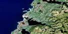
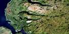
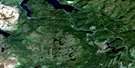
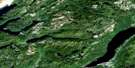
Lomond Satellite Image Map
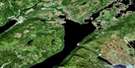
Download Free Aerial Photo 012H05 at 1:50,000 scale
Lomond Satellite Imagery
To view this satellite map, mouse over the air photo on the right.
You can also download this satellite image map for free:
012H05 Lomond high-resolution satellite image map.
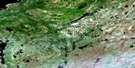
Maps for the Lomond aerial map sheet 012H05 at 1:50,000 scale are also available in these versions:
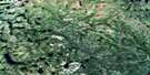
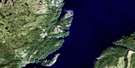
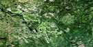
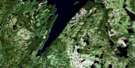
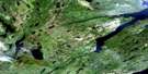
Lomond Surrounding Area Aerial Photo Maps
 |
 |
 |
 |
 |
 |
 |
 |
 |
 |
 |
 |
 |
 |
 |
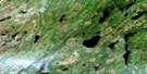 |
© Department of Natural Resources Canada. All rights reserved.
Lomond Gazetteer
The following places can be found on satellite image map 012H05 Lomond:
Lomond Satellite Image: Bays
Burtons CoveDeep Water Cove
Dicks Cove
East Arm
Hell Cove
Howletts Cove
John Whites Cove
Lomond Cove
Long Bight
Long Bight Cove
Lord & Lady Cove
Norris Cove
Paynes Cove
Robinsons Cove
Rocky Cove
Seal Cove
South Arm
South East Arm
St. Josephs Cove
Tuckers Brook
Woody Point Anchorage
Lomond Satellite Image: Capes
Baileys PointBeachy Point
Birchy Head
Dicks Point
Entrance Point
Foul Point
Gray Point
Paynes Point
South Head
Tuckers Head
Youngs Point
Lomond Satellite Image: Cliffs
Black CliffHalfway Cliff
Lomond Satellite Image: Lakes
Angle PondBad Weather Pond
Barters Pond
Beachy Point Pond
Bear Lake
Beaver Pond
Bluey Pond
Bonne Bay Big Pond
Bonne Bay Little Pond
Bottomless Pond
Browns Pond
Clifty Pond
Crollys Brook Pond
Deans Pond
Double Pond
East Arm Barachois
East Pond
Five Mile Pond
Fox Pond
Governors Pond
Grindstone Pond
Gull Pond
Half Moon Pond
Island House Pond
Jacks Pond
Kennedy Lake
Line Pond
Long Pond
Man of War Pond
Mill Brook Pond
Miller Pond
Mitchells Pond
Moulands Pond
Mug Pond
Muskrat Pond
Papoose Pond
Puzzle Pond
Rabbit Lake
Raft Pond
Rattling Brook Pond
Rocky Pond
Rocky Pond
Sandbar Pond
Sandy Pond
Sellar Brook Pond
Shoal Brook Pond
Single Pond
Smelt Pond
Southeast Pond
Stanleyville Pond
Stuckless Pond
The Steady
Trout River Big Pond
Two Mile Pond
Upper Trout River Pond
Weasel Ponds
West Lake
Wigwam Pond
Wigwam Pond
Lomond Satellite Image: Mountains
Barachois HillsCrow Hill
Crow Mountain
Deans Head
Gibraltar
Green Hill
Killdevil Hill
Killdevil Mountain
Long Range Mountains
Overfall Hill
Peak of Tenerife
Southeast Hills
Tablelands
Tappers Mountain
White Hills
Witch Hazel Hill
Lomond Satellite Image: Conservation areas
Gros Morne National Park of CanadaParc national du Canada du Gros-Morne
Lomond Satellite Image: Rivers
Barachois BrookBarters Brook
Beachy Point Brook
Burnt Brook
Dicks Brook
East Lomond River
Goose Arm Brook North
Grassy Point Brook
Horseback Brook
Line Brook
Liverpool Brook
Lomond Brook
Lomond River
McKenzies Brook
McKie River
Middle Brook
Middle Trout River
Mill Brook
Muddy Brook
North Arm Brook
North Trout River
Overfall Brook
Rattling Brook
Rocky Barachois Brook
Rocky Brook
Sandbar Brook
Sellars Brook
Shoal Brook
Southeast Brook
Stanleyville River
Three Tom Brook
Underground Brook
Wallace Brook
West Rocky Brook
White Hill Brook
Whites River
Winter House Brook
Lomond Satellite Image: Towns
Glenburnie-Birchy Head-Shoal BrookWoody Point
Lomond Satellite Image: Unincorporated areas
Birchy HeadBonne Bay
Glenburnie
Jack Ladder
Lomond
Shoal Brook
Silver Point
Silverton
St. Josephs Cove
Stanleyville
Wilton Dale
Wiltondale
Winter House Brook
Lomond Satellite Image: Valleys
Burridges GulchCrouchers Gulch
Southwest Gulch
Trout River Gulch
Lomond Satellite Image: Low vegetation
Ash Marsh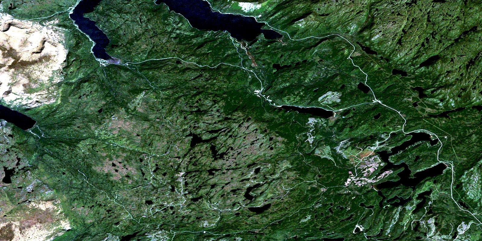
© Department of Natural Resources Canada. All rights reserved.
012H Related Maps:
012H Sandy Lake012H01 Dawes Pond
012H02 The Topsails
012H03 Deer Lake
012H04 Pasadena
012H05 Lomond
012H06 Cormack
012H07 Sheffield Lake
012H08 Springdale
012H09 King's Point
012H10 Hampden
012H11 Silver Mountain
012H12 Gros Morne
012H13 St Pauls Inlet
012H14 Main River
012H15 Jackson's Arm
012H16 Baie Verte
