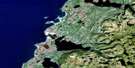
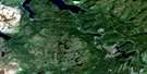
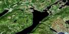
Main River Satellite Image Map
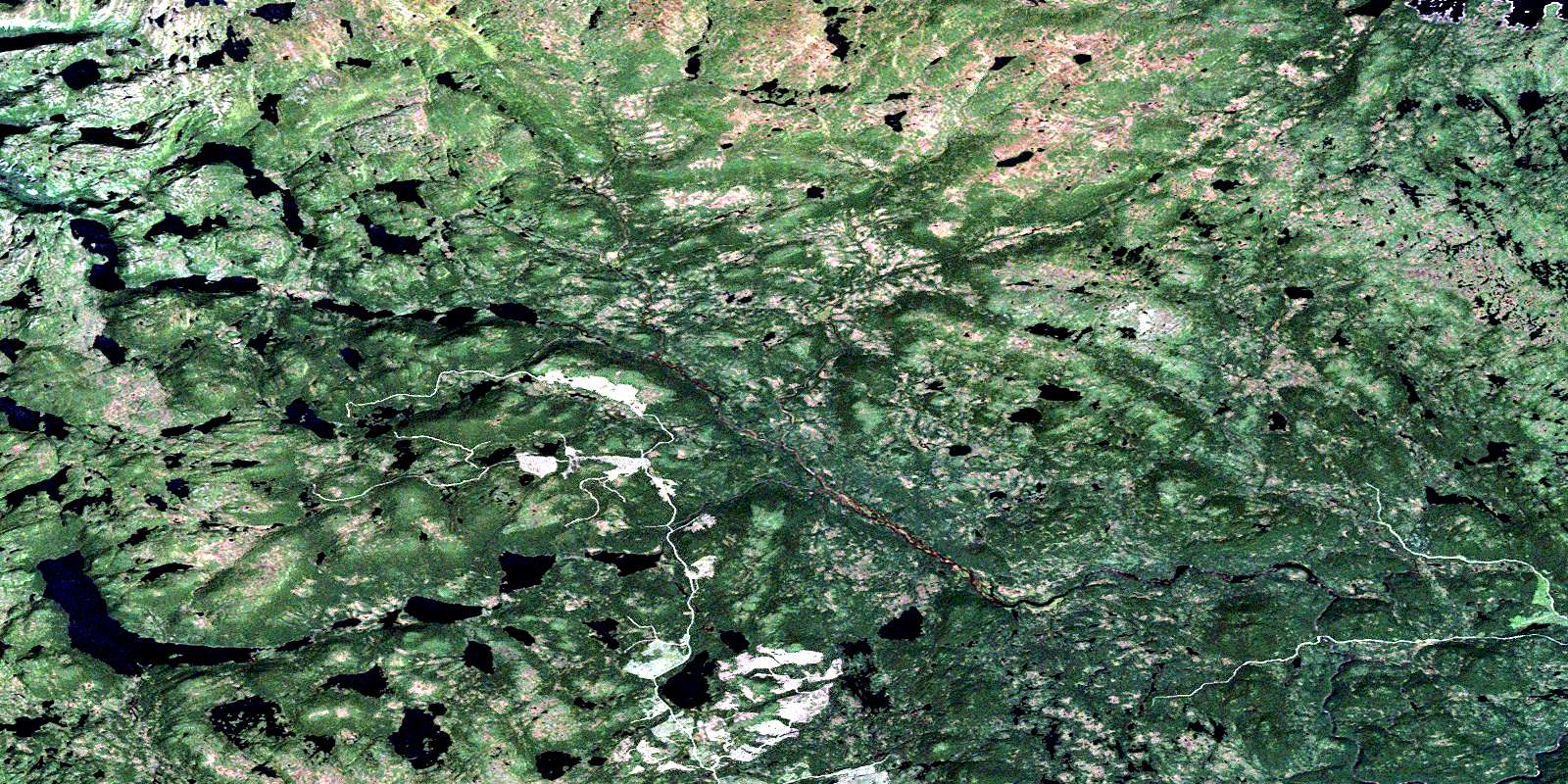
Download Free Aerial Photo 012H14 at 1:50,000 scale
Main River Satellite Imagery
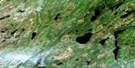
To view this satellite map, mouse over the air photo on the right.
You can also download this satellite image map for free:
012H14 Main River high-resolution satellite image map.
Maps for the Main River aerial map sheet 012H14 at 1:50,000 scale are also available in these versions:
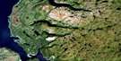
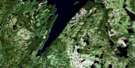
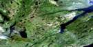
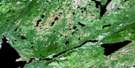
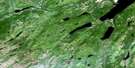
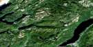
Main River Surrounding Area Aerial Photo Maps
 |
 |
 |
 |
 |
 |
 |
 |
 |
 |
 |
 |
 |
 |
 |
 |
© Department of Natural Resources Canada. All rights reserved.
Main River Gazetteer
The following places can be found on satellite image map 012H14 Main River:
Main River Satellite Image: Capes
Northern PeninsulaMain River Satellite Image: Lakes
Bean PondBeaver Lake
Big Pond
Big Steady
Brians Pond
Burseys Pond
Caribou Lake
Charlies Dam Pond
Dawson Lake
Eagle Mountain Pond
Four Ponds
Fox Ears Pond
Goose Meshes
High Pond
Island Pond
Leander Lake
Little Steady
Long Pond
Loon Pond
Sock Pond
St. Pauls Big Pond
Trophy Lake
Woody Lake
Main River Satellite Image: Mountains
Eagle MountainLong Hill
Long Range Mountains
Main River Satellite Image: Conservation areas
Gros Morne National Park of CanadaGros Morne National Park World Heritage Site
Main River Waterway Provincial Park
Parc national du Canada du Gros-Morne
Site du patrimoine mondial du Parc national du Gros-Morne
Main River Satellite Image: Rivers
Beaver BrookBig Brook
Eastern Brook
Lens Brook
Main River
Parsons Pond River
Woodpecker Brook
© Department of Natural Resources Canada. All rights reserved.
012H Related Maps:
012H Sandy Lake012H01 Dawes Pond
012H02 The Topsails
012H03 Deer Lake
012H04 Pasadena
012H05 Lomond
012H06 Cormack
012H07 Sheffield Lake
012H08 Springdale
012H09 King's Point
012H10 Hampden
012H11 Silver Mountain
012H12 Gros Morne
012H13 St Pauls Inlet
012H14 Main River
012H15 Jackson's Arm
012H16 Baie Verte
