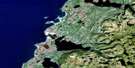
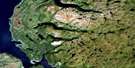
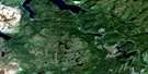
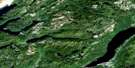
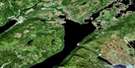
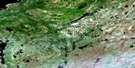
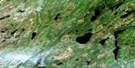
King's Point Satellite Image Map
Download Free Aerial Photo 012H09 at 1:50,000 scale
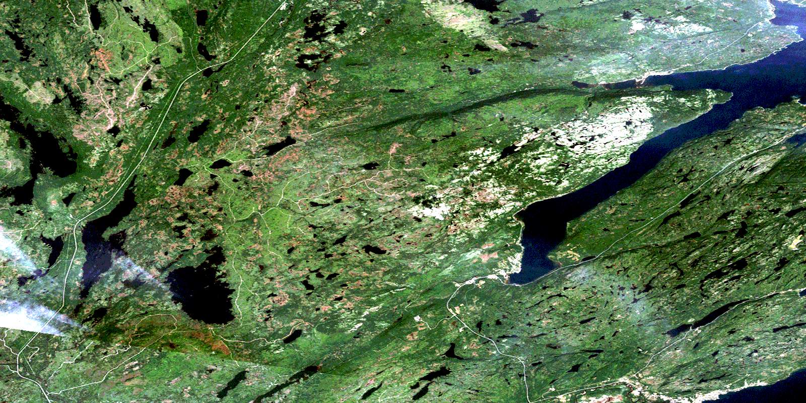
King's Point Satellite Imagery
To view this satellite map, mouse over the air photo on the right.
You can also download this satellite image map for free:
012H09 King's Point high-resolution satellite image map.
Maps for the King's Point aerial map sheet 012H09 at 1:50,000 scale are also available in these versions:
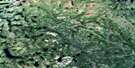
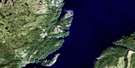
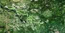
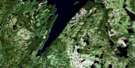
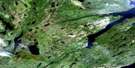
King's Point Surrounding Area Aerial Photo Maps
 |
 |
 |
 |
 |
 |
 |
 |
 |
 |
 |
 |
 |
 |
 |
 |
© Department of Natural Resources Canada. All rights reserved.
King's Point Gazetteer
The following places can be found on satellite image map 012H09 King's Point:
King's Point Satellite Image: Bays
Birchy CoveCorner Brook Cove
Green Bay
Halls Bay
Island Rock Cove
Jackson's Cove
Little Bay
Lower Island Rock Cove
Middle Arm
Northwest Arm
Northwest Arm
Shilly Cove
Southwest Arm
Western Arm
Winterhouse Cove
King's Point Satellite Image: Capes
Baie Verte PeninsulaBirchy Cove Head
King's Point
Manful Point
Middle Arm Point
Southwest Head
Western Point
White Point
King's Point Satellite Image: Islands
Anticosti IslandÎle d'Anticosti
Lower Island
Upper Island
King's Point Satellite Image: Lakes
Bartletts PondBig Deer Pond
Browns Pond
Clam Pond
Cross Country Pond
Cross Country Pond
Davis Pond
Deer Pond
Fox Pond
Gossard Pond
Gull Pond
Jacks Pond
Ketches Pond
Kidney Pond
Kittys Pond
Lady Pond
Lady Pond
Line Pond
Little Flat Water Pond
Micmac Lake
Mistaken Pond
Pine Pond
Round Pond
Shoal Pond
Slink Pond
South West Pond
Sprucy Pond
Strugglers Pond
Trap Pond
Traverse Pond
Whales Back Pond
Wild Cove Pond
Wolverine Pond
King's Point Satellite Image: Mountains
Middle Arm RidgeStearin Peak
Sugar Loaves
White Hills
King's Point Satellite Image: Rivers
Black BrookBurnt Berry Brook
Corner Brook
Davis Brook
Gull Brook
Harry Brook
Indian Brook
Micmac Brook
Middle Arm Brook
Ovals Brook
Paddys Brook
Rattling Brook
Saunders Brook
South Brook
Southwest Brook
West Brook
King's Point Satellite Image: Shoals
Fishing RockStearin Rock
King's Point Satellite Image: Towns
BurlingtonGreen Bay Middle Arm
King's Point
Middle Arm
Springdale
King's Point Satellite Image: Unincorporated areas
Birchy CoveJackson's Cove
Jackson's Cove-Langdon's Cove-Silverdale
Rattling Brook
St. Patricks
St. Patrick's
Winterhouse Cove
© Department of Natural Resources Canada. All rights reserved.
012H Related Maps:
012H Sandy Lake012H01 Dawes Pond
012H02 The Topsails
012H03 Deer Lake
012H04 Pasadena
012H05 Lomond
012H06 Cormack
012H07 Sheffield Lake
012H08 Springdale
012H09 King's Point
012H10 Hampden
012H11 Silver Mountain
012H12 Gros Morne
012H13 St Pauls Inlet
012H14 Main River
012H15 Jackson's Arm
012H16 Baie Verte
