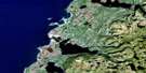
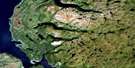
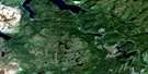
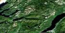
Baie Verte Satellite Image Map
Download Free Aerial Photo 012H16 at 1:50,000 scale
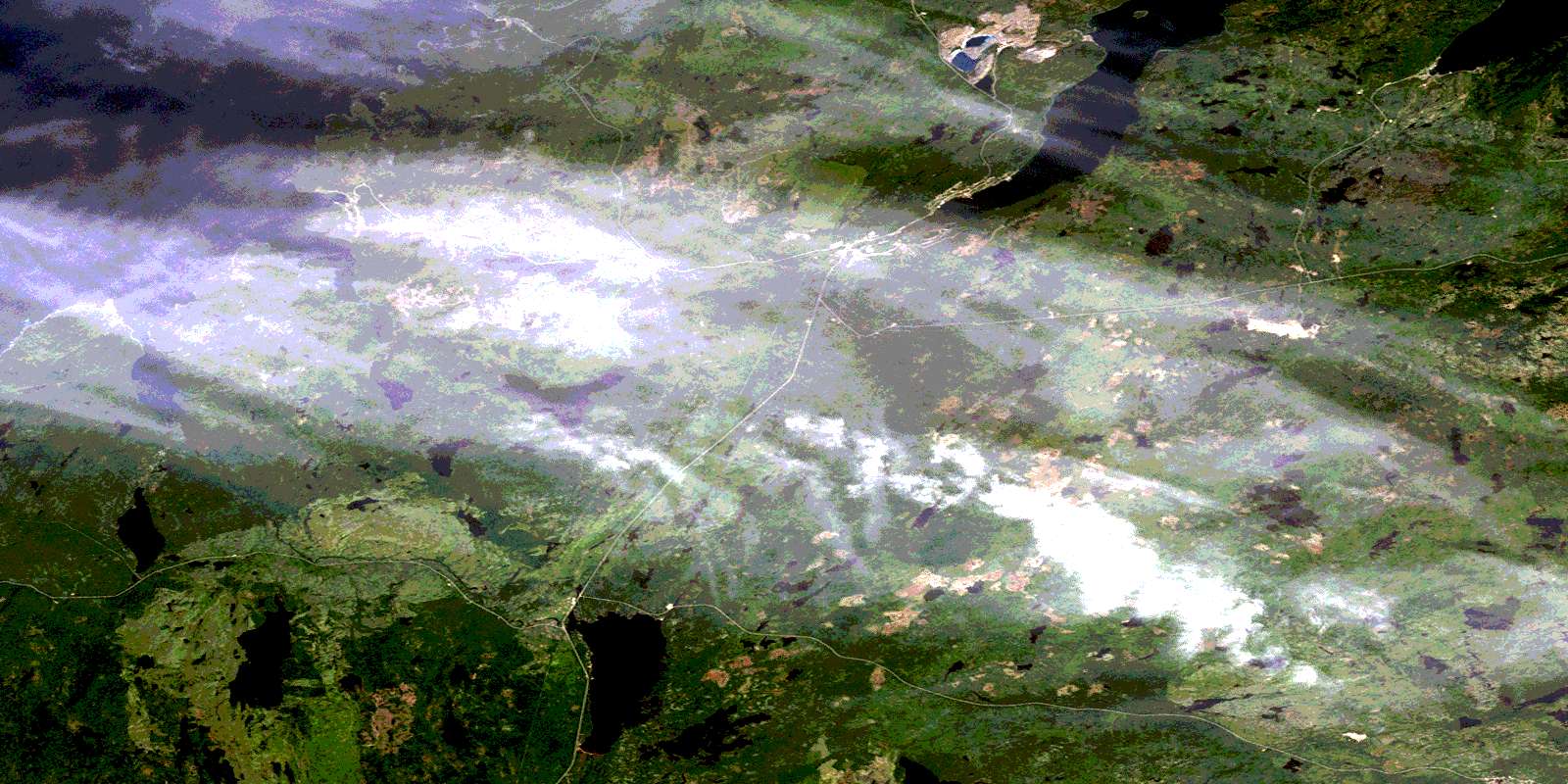
Baie Verte Satellite Imagery
To view this satellite map, mouse over the air photo on the right.
You can also download this satellite image map for free:
012H16 Baie Verte high-resolution satellite image map.
Maps for the Baie Verte aerial map sheet 012H16 at 1:50,000 scale are also available in these versions:
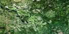
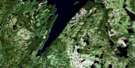
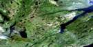
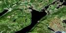
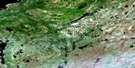
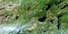
Baie Verte Surrounding Area Aerial Photo Maps
 |
 |
 |
 |
 |
 |
 |
 |
 |
 |
 |
 |
 |
 |
 |
 |
© Department of Natural Resources Canada. All rights reserved.
Baie Verte Gazetteer
The following places can be found on satellite image map 012H16 Baie Verte:
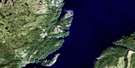
Baie Verte Satellite Image: Bays
Apsey CoveBaie Verte
Beach Cove
Big Head Cove
Downey's Cove
Fire Cove
Green Cove
Lobster Harbour
Lower Cove
Lower Duck Island Cove
Lower Sisters Cove
Middle Arm
Ming's Bight
Northwest Arm
Penny Cove
Pine Cove
Pumbly Cove
Schooner Cove
Seal Cove
Southern Arm
Upper Duck Island Cove
Upper Sisters Cove
White Bay
Wild Cove
Baie Verte Satellite Image: Capes
Baie Verte PeninsulaBig Head
Big Head
Crow Head
Fish Point
Flat Point
Lucies Point
Pound Head
Pumbly Point
Sandy Point
Shark Point
Sisters Point
Southern Arm Head
Baie Verte Satellite Image: Islands
Anticosti IslandDuck Island
Île d'Anticosti
Baie Verte Satellite Image: Lakes
Bear PondButler's Pond
Castor Pond
Cross Country Pond
Dam Pond
Dwyers Pond
East Pond
Flat Water Pond
Flatwater Pond
Gillard Pond
Gull Pond
Gull Pond
Gull Pond
Hummas Pond
Kidney Pond
Little Rambler Pond
Long Pond
Mud Pond
Muddy Pond
Northeast Pond
Osbournes Pond
Peters Pond
Pine Pond
Powder House Pond
Rambler Pond
Red Cliff Pond
Rocky Pond
Rocky Pond
Scrape Pond
Side Pond
South Brook Pond
Southern Pond
Spricy Pond
Steady Water
Three Corner Pond
Three Mile Pond
Two Mile Pond
Upper Red Cliff Pond
Baie Verte Satellite Image: Mountains
Cheese HillChips Hill
Pilar Tree
Townsend Hills
Baie Verte Satellite Image: Conservation areas
Flatwater Pond Provincial ParkBaie Verte Satellite Image: Rivers
Apsey Cove BrookBaie Verte River
East Brook
England's Brook
Five Mile Brook
Green Cove Brook
Lower Duck Island Cove Brook
Middle Arm Brook
Middle Brook
Middle Brook
Ming's South Brook
Pacquet Brook
Pine Cove Brook
Rambler Brook
Rattling Brook
Six Mile Brook
South Brook
South West Brook
Trimms Brook
Upper Duck Island Cove Brook
West Brook
Western Arm Brook
Wild Cove Brook
Baie Verte Satellite Image: Shoals
Duck Island ShoalMiddle Arm Rock
Pound Rocks
Baie Verte Satellite Image: Towns
Baie VerteBurlington
Ming's Bight
Seal Cove
Baie Verte Satellite Image: Unincorporated areas
Middle ArmRambler
South Brook
Wild Cove
© Department of Natural Resources Canada. All rights reserved.
012H Related Maps:
012H Sandy Lake012H01 Dawes Pond
012H02 The Topsails
012H03 Deer Lake
012H04 Pasadena
012H05 Lomond
012H06 Cormack
012H07 Sheffield Lake
012H08 Springdale
012H09 King's Point
012H10 Hampden
012H11 Silver Mountain
012H12 Gros Morne
012H13 St Pauls Inlet
012H14 Main River
012H15 Jackson's Arm
012H16 Baie Verte
