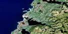
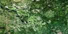
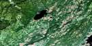
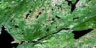
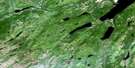
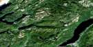
Pasadena Satellite Image Map
Download Free Aerial Photo 012H04 at 1:50,000 scale
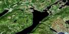
Pasadena Satellite Imagery
To view this satellite map, mouse over the air photo on the right.
You can also download this satellite image map for free:
012H04 Pasadena high-resolution satellite image map.
Maps for the Pasadena aerial map sheet 012H04 at 1:50,000 scale are also available in these versions:
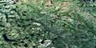
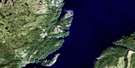
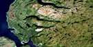
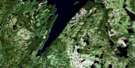
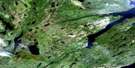
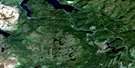
Pasadena Surrounding Area Aerial Photo Maps
 |
 |
 |
 |
 |
 |
 |
 |
 |
 |
 |
 |
 |
 |
 |
 |
© Department of Natural Resources Canada. All rights reserved.
Pasadena Gazetteer
The following places can be found on satellite image map 012H04 Pasadena:
Pasadena Satellite Image: Bays
Big CoveGoose Arm
Inner Seal Cove
North Arm
North Arm Harbour (Harbour Cove)
Northwest Cove
Parsons Cove
Penguin Arm
Penguin Arm Harbour
Penguin Cove
Penguin Head
Pasadena Satellite Image: Capes
Deep Cove PointGovernors Point
Louis Point
Raglan Head
Shiveree Point
William Wheeler Point
Pasadena Satellite Image: Channels
The NarrowsPasadena Satellite Image: Cliffs
Blue CliffPasadena Satellite Image: Lakes
Alder SteadyBalls Pond
Bear Lake
Beaver Pond
Big Barren Pond
Big Tenth Pond
Bingles Pond
Blue Gulch Pond
Bluebird Pond
Bridgers Pond
Burnt Pond
Camp Pond
Canal Pond
Cloudy Pond
Crooked Pond
Deer Lake
Deer Pond
Ell Pond
Emm Pond
Frenchmans Pond
Goose Arm Pond
Goose Pond
Gull Pond
Heart Pond
Hearts Pond
Hobo Pond
Hughes Lake
Indian Dock Pond
Indian Pond
Island Pond
Island Pond
Keats Pond
Kennedy Lake
Kettle Pond
Langdons Pond
Little North Pond
Long Pond
Long Pond
Lost Pond
Lower Twin Pond
Mistaken Pond
Mistaken Pond
Moose Pond
Mountain Pond
North Lake
North Pond
Old Mans Pond
Pynns Pond
Rabbit Pond
Robin Pond
Round Pond
Rubber Lake
Seal Pond
Shallow Pond
Shellbird Pond
Sisters Pond
South Pond
Square Pond
Stag Pond
Tern Pond
Thrush Pond
Tomtit Pond
Trout Pond
West Lake
West Pond
Wigwam Lake
Pasadena Satellite Image: Mountains
Long Range MountainsNorth Arm Mountain
Old Man Mountain
Penguin Hills
Sugar Loaves
Pasadena Satellite Image: Conservation areas
Newfoundland T'Railway Provincial ParkPasadena Beach Provincial Park
Pasadena Satellite Image: Rivers
Beavertown BrookBig Tenth Brook
Blue Gulch Brook
Coal Brook
Eighth Brook
Gillams Brook
Goose Arm Brook
Goose Arm Brook North
Humber River
Irishtown Brook
Little North Brook
Monkey Brook
Ninth Brook
North Arm Brook
North Brook
Old Mans Brook
Otter Brook
Payne Brook
Penguin Arm Brook
Pynns Brook
South Brook
Transmission Brook
West Rocky Brook
Wolf Brook
Pasadena Satellite Image: Towns
Hughes BrookIrishtown-Summerside
Pasadena
Pasadena-Midland
Pasadena Satellite Image: Unincorporated areas
Goose ArmIrishtown
Midland
Penguin Arm
Pynns
Pynns Brook
South Brook
Pasadena Satellite Image: Low vegetation
Indian Dock Barrens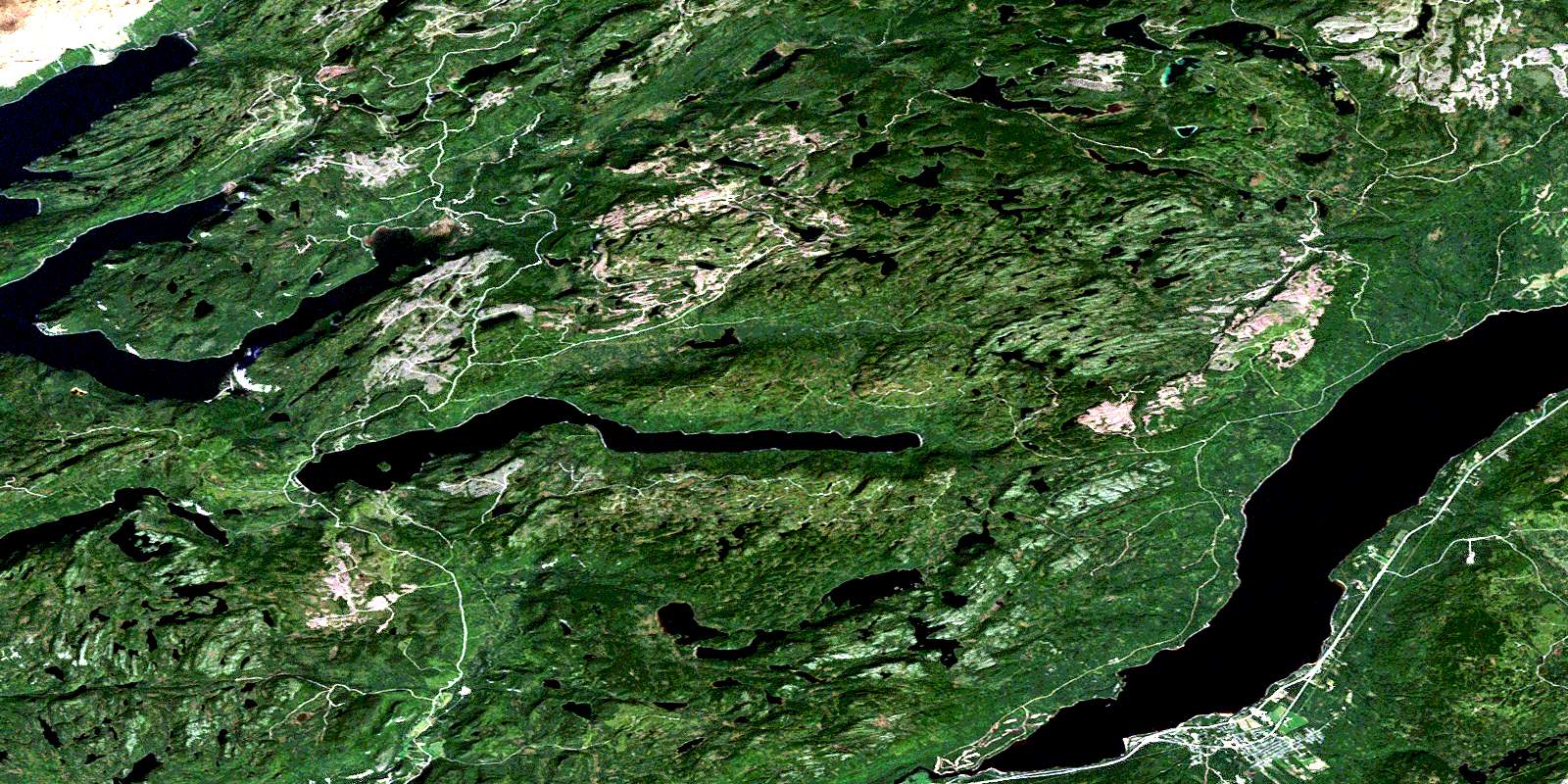
© Department of Natural Resources Canada. All rights reserved.
012H Related Maps:
012H Sandy Lake012H01 Dawes Pond
012H02 The Topsails
012H03 Deer Lake
012H04 Pasadena
012H05 Lomond
012H06 Cormack
012H07 Sheffield Lake
012H08 Springdale
012H09 King's Point
012H10 Hampden
012H11 Silver Mountain
012H12 Gros Morne
012H13 St Pauls Inlet
012H14 Main River
012H15 Jackson's Arm
012H16 Baie Verte
