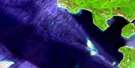
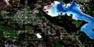
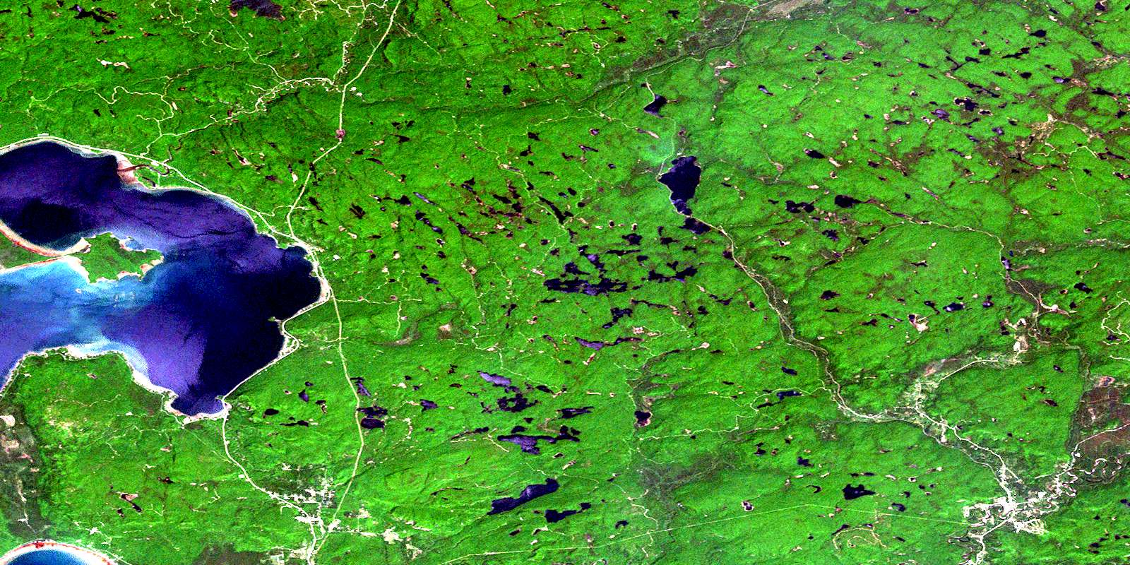
Searchmont Satellite Image Map
Download Free Aerial Photo 041K16 at 1:50,000 scale
Searchmont Satellite Imagery
To view this satellite map, mouse over the air photo on the right.
You can also download this satellite image map for free:
041K16 Searchmont high-resolution satellite image map.
Maps for the Searchmont aerial map sheet 041K16 at 1:50,000 scale are also available in these versions:
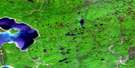
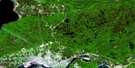
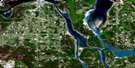
Searchmont Surrounding Area Aerial Photo Maps
 |
 |
||
 |
 |
||
 |
|||
 |
© Department of Natural Resources Canada. All rights reserved.
Searchmont Gazetteer
The following places can be found on satellite image map 041K16 Searchmont:
Searchmont Satellite Image: Bays
Batchawana BayGoulais Bay
Grassy Bay
Harmony Bay
Havilland Bay
Horseshoe Bay
Old Mill Bay
Searchmont Satellite Image: Capes
Fenwick PointSearchmont Satellite Image: Falls
Chippewa FallsSearchmont Satellite Image: Geographical areas
24,1124,12
25,12
26,12
27,12
Algoma
Archibald
Brûlé
Dablon
Deroche
Fenwick
Fisher
Gaudette
Grenoble
Havilland
Hodgins
Kars
LaVerendrye
Ley
Marne
Palmer
Shields
Tilley
Tupper
VanKoughnet
Wishart
Searchmont Satellite Image: Islands
Batchawana IslandFlowerpot Islands
Harmony Island
Tugis Island
Searchmont Satellite Image: Lakes
Achigan LakeBagg Lake
Begley Lake
Belleau Lake
Bojack Lake
Bone Lake
Brook Lake
Evans Lake
Government Lake
Haines Lake
Havilland Lake
Hawk Lake
Iron Lake
Kerwin Lake
Lac Supérieur
Lake Superior
Lavergne Lake
Leachman Lake
Leonard Lake
Mine Lake
Mystery Lake
Nestor Lake
Ogidaki Lake
Picard Lake
Pickard Lake
Pike Lake
Probyn Lake
Prugh Lake
Reclus Lake
Robertson Lake
Sam Lake
Sayer Lake
Sheppard Lake
Sill Lake
Stokely Lake
Tier Lake
Tilley Lakes
Township Lake
Tupper Lake
Twab Lake
Upper Sheppard Lake
Walker Lake
Weckstrom Lake
Wolfe Lake
Searchmont Satellite Image: Mountains
Buttermilk HillKing Mountain
Searchmont Satellite Image: Conservation areas
O'Connor Conservation ReserveSearchmont South Forest Conservation Reserve
Tilley Creek Conservation Reserve
Tilley Creek West Conservation Reserve
Wabos North Conservation Reserve
Wabos South Conservation Reserve
Searchmont Satellite Image: Rivers
Achigan CreekAtkinson Creek
Batchawana River
Chippewa River
Chippewa River
Dam Creek
Downey Creek
Drew Creek
East Branch Chippewa River
Goulais River
Government Creek
Harmony River
Harmony River
Havilland Creek
Icewater Creek
Jones Creek
Jones Creek
Kars Creek
Kerwin Creek
Leishman Creek
Little Goulais River
Little Sheppard Creek
Murphy Creek
O'Connor Creek
Perry Creek
Probyn Creek
Robertson Creek
Sawmill Creek
Sayer Creek
Sheppard Creek
Sill Creek
Still Creek
Stokely Creek
Stony Creek
Taylor Creek
Tier Creek
Tilley Creek
Searchmont Satellite Image: Unincorporated areas
AchiganBucyrus
Harmony Beach
Havilland
Horseshoe Bay
Jones Landing
Karalash Corners
Lunar
Ogidaki
Searchmont
Wabos
© Department of Natural Resources Canada. All rights reserved.
