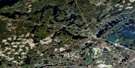
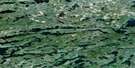
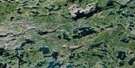
Kawnipi Lake Satellite Image Map
Download Free Aerial Photo 052B06 at 1:50,000 scale
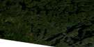
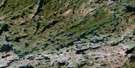
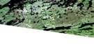
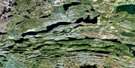
Kawnipi Lake Satellite Imagery
To view this satellite map, mouse over the air photo on the right.
You can also download this satellite image map for free:
052B06 Kawnipi Lake high-resolution satellite image map.
Maps for the Kawnipi Lake aerial map sheet 052B06 at 1:50,000 scale are also available in these versions:
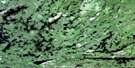
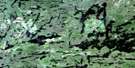
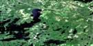
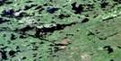
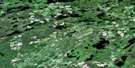
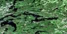
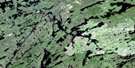
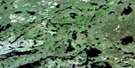
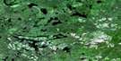
Kawnipi Lake Surrounding Area Aerial Photo Maps
 |
 |
 |
 |
 |
 |
 |
 |
 |
 |
 |
 |
 |
 |
 |
 |
© Department of Natural Resources Canada. All rights reserved.
Kawnipi Lake Gazetteer
The following places can be found on satellite image map 052B06 Kawnipi Lake:
Kawnipi Lake Satellite Image: Bays
Ahsin BayAtkins Bay
Kawa Bay
McKenzie Bay
McVicar Bay
Kawnipi Lake Satellite Image: Channels
Agnes River East ChannelAgnes River West Channel
Kawnipi Lake Satellite Image: Falls
Canyon FallsChatterton Falls
Kennebas Falls
Koko Falls
Little Falls
Snake Falls
Split Rock Falls
Splitfrock Falls
Kawnipi Lake Satellite Image: Islands
Hunter IslandKasie Island
Long Island
Rose Island
Kawnipi Lake Satellite Image: Lakes
Agnes LakeAlice Lake
Anubis Lake
Asin Lake
Baird Lake
Bird Lake
Blackstone Lake
Cairn Lake
Camel Lake
Chatterton Lake
Cub Lake
Cullen Lake
Cushing Lake
Cutty Lake
Dack Lake
Deacon Lake
Devine Lake
Drake Lake
Eag Lake
Ferguson Lake
Fluker Lake
Gahn Lake
Guda Lake
Heronshaw Lake
Hurlburt Lake
Joliat Lake
Joyce Lake
Kahshahpiwi Lake
Kawnipi Lake
Keats Lake
Keefer Lake
Keewatin Lake
Kenny Lake
Lemay Lake
Lindsay Lake
Mack Lake
McDougall Lake
McEwen Lake
McKenzie Lake
Metacryst Lake
Montgomery Lake
Munro Lake
Murdoch Lake
Ossian Lake
Payne Lake
Pierna Lake
Poulin Lake
Ptolemy Lake
Quinn Lake
Reid Lake
Russell Lake
Saganagons Lake
Sark Lake
Shelley Lake
Silence Lake
Slate Lake
Swartman Lake
Tario Lake
Trant Lake
Veron Lake
Wet Lake
Williams Lake
Woodside Lake
Kawnipi Lake Satellite Image: Conservation areas
Quetico Provincial ParkKawnipi Lake Satellite Image: Rapids
Grand RapidsKawnipi Lake Satellite Image: Rivers
Cache RiverCutty Creek
Dettbarn Creek
Dettburn Creek
Devine Creek
Ferguson Creek
Hurlburt Creek
Kahshahpiwi Creek
Lemay Creek
Mack Creek
McEwen Creek
Wawiag River
Woodside Creek
Kawnipi Lake Satellite Image: Road features
Have a Smoke Portage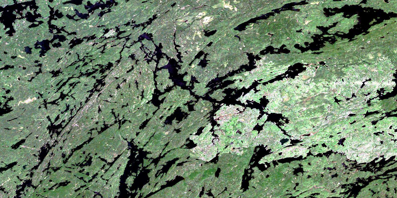
© Department of Natural Resources Canada. All rights reserved.
052B Related Maps:
052B Quetico052B01 Arrow Lake
052B02 Saganaga Lake
052B03 Knife Lake
052B04 Basswood Lake
052B05 Poohbah Lake
052B06 Kawnipi Lake
052B07 Mowe Lake
052B08 Marks Lake
052B09 Shebandowan
052B10 Burchell Lake
052B11 Pickerel Lake
052B12 Quetico Lake
052B13 Atikokan
052B14 Sapawe
052B15 Bedivere Lake
052B16 Savanne
