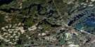
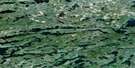
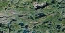
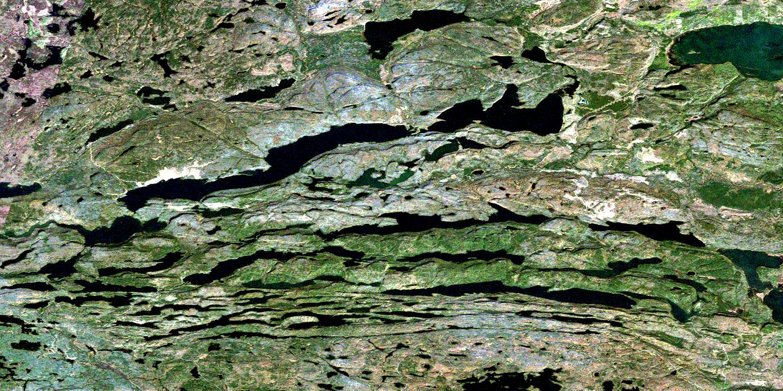
Arrow Lake Satellite Image Map
Download Free Aerial Photo 052B01 at 1:50,000 scale
Arrow Lake Satellite Imagery
To view this satellite map, mouse over the air photo on the right.
You can also download this satellite image map for free:
052B01 Arrow Lake high-resolution satellite image map.
Maps for the Arrow Lake aerial map sheet 052B01 at 1:50,000 scale are also available in these versions:
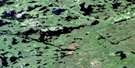
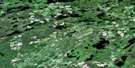
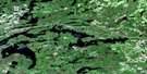
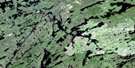
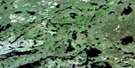
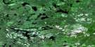
Arrow Lake Surrounding Area Aerial Photo Maps
 |
 |
 |
 |
 |
 |
 |
 |
 |
 |
 |
 |
 |
 |
 |
 |
© Department of Natural Resources Canada. All rights reserved.
Arrow Lake Gazetteer
The following places can be found on satellite image map 052B01 Arrow Lake:
Arrow Lake Satellite Image: Bays
Frogportage BayArrow Lake Satellite Image: Capes
Sand PointArrow Lake Satellite Image: Channels
The NarrowsArrow Lake Satellite Image: Geographical areas
HardwickHartington
Jean
Lismore
Robbins
Strange
Arrow Lake Satellite Image: Lakes
Addie LakeArrow Lake
Atik Lake
Baker Lake
Cameron Lake
Canthook Lake
Castle Lake
Dodds Pond
East-West Beaver Ponds
Elbow Lake
Fan Lake
Fortune Lake
Gravel Lakes
Iron Range Lake
Jar Lake
Jones Lake
Kindreds Lake
Lily Lakes
Little Addie Lake
Little Whitefish Lake
Mallard Lake
Moose Lake
Mountain Lake
Mudhole Lake
North Fowl Lake
North Lake
Paul Lake
Prelate Lake
Rat Lake
Rose Lake
Roundtable Lake
Rove Lake
Sandstone Lake
Sawmill Lake
Scott Lake
South Fowl Lake
Sun Lake
Sunbeam Lake
Vaseux Lake
Wabindon Lake
Wasp Lake
Watap Lake
West Wabindon Lake
Whistle Lake
Whitefish Lake
Windy Lake
Yellowhammer Lake
Arrow Lake Satellite Image: Mountains
Mount EdnaMount Marny
Sun Hill
Arrow Lake Satellite Image: Conservation areas
Arrow Lake Provincial ParkCastle Creek Provincial Nature Reserve
La Verendrye Provincial Park
LaVerendrye Provincial Park
Arrow Lake Satellite Image: Rivers
Arrow RiverJoe Creek
Little Gull Creek
Pigeon River
Pine River
Sandstone Creek
Wabindon Creek
Whistle Creek
Yellowhammer Creek
Arrow Lake Satellite Image: Road features
Great Cherry PortageLesser Cherry Portage
Long Portage
Moose Portage
Vaseux Portage
Watap Portage
Arrow Lake Satellite Image: Unincorporated areas
MackiesRemicks
© Department of Natural Resources Canada. All rights reserved.
052B Related Maps:
052B Quetico052B01 Arrow Lake
052B02 Saganaga Lake
052B03 Knife Lake
052B04 Basswood Lake
052B05 Poohbah Lake
052B06 Kawnipi Lake
052B07 Mowe Lake
052B08 Marks Lake
052B09 Shebandowan
052B10 Burchell Lake
052B11 Pickerel Lake
052B12 Quetico Lake
052B13 Atikokan
052B14 Sapawe
052B15 Bedivere Lake
052B16 Savanne
