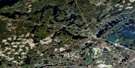
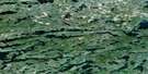
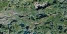
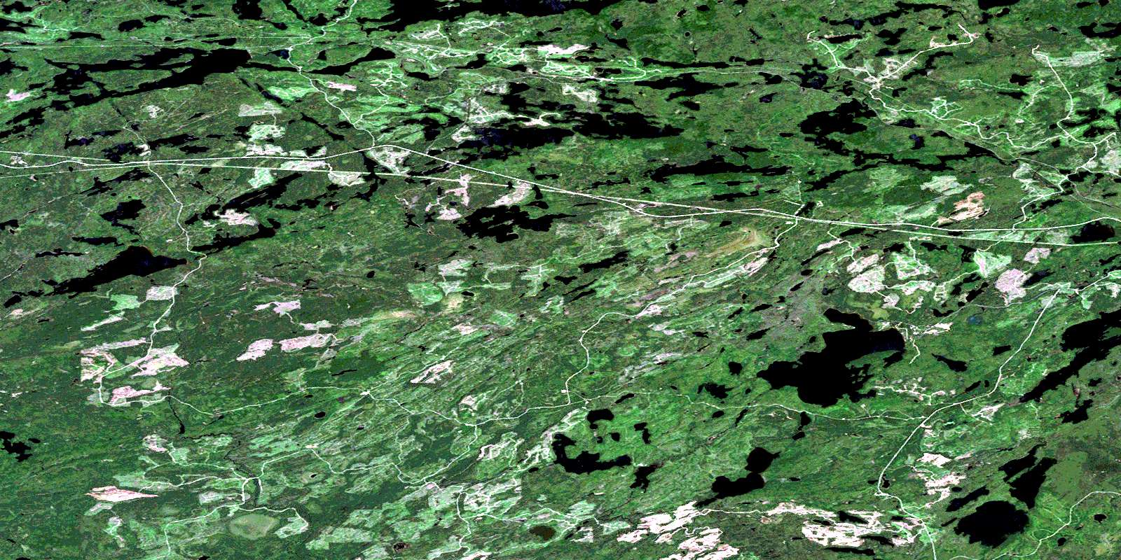
Burchell Lake Satellite Image Map
Download Free Aerial Photo 052B10 at 1:50,000 scale
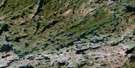
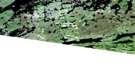
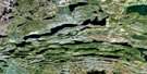
Burchell Lake Satellite Imagery
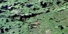
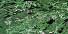
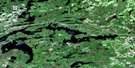
To view this satellite map, mouse over the air photo on the right.
You can also download this satellite image map for free:
052B10 Burchell Lake high-resolution satellite image map.
Maps for the Burchell Lake aerial map sheet 052B10 at 1:50,000 scale are also available in these versions:
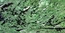
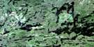
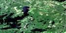
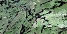
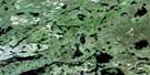
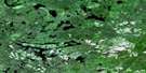
Burchell Lake Surrounding Area Aerial Photo Maps
 |
 |
 |
 |
 |
 |
 |
 |
 |
 |
 |
 |
 |
 |
 |
 |
© Department of Natural Resources Canada. All rights reserved.
Burchell Lake Gazetteer
The following places can be found on satellite image map 052B10 Burchell Lake:
Burchell Lake Satellite Image: Bays
Lucky BaySawmill Bay
Burchell Lake Satellite Image: Capes
Lookout PointBurchell Lake Satellite Image: Falls
Otter FallsBurchell Lake Satellite Image: Geographical areas
AmesMoss
Rainy River
Thunder Bay
Burchell Lake Satellite Image: Islands
Birch IslandCedar Island
Child's Island
Hess' Island
Pine Island
Spruce Island
Two Mile Island
Burchell Lake Satellite Image: Lakes
Arbour LakeBaril Lake
Bass Lake
Boundary Lake
Brûlé Lake
Burchell Lake
Church Lake
Crayfish Lake
Crescent Lake
Deman Lake
Elbow Lake
Firefly Lake
Fork Lake
Fortes Lake
Fountain Lake
Fountain Lake
Grano Lake
Green Lake
Grouse Lake
Height of Land Lake
Hermia Lake
Hitch Lake
Huronian Lake
Kabatay Lake
Katherine Lake
Kawawiagamak Lake
Keego Lake
Laughren Lake
Laughren Lake
Lily Lake
Little Trout Lake
Long Lake
Mackie Lake
Meeting Lake
Moss Lake
Otter Lake
Pete's Pond
Rainbow Lake
Rolling Lake
Rudge Lake
Sitches Lake
Skimpole Lake
Snodgrass Lake
Span Lake
Squeers Lake
Stetham Lake
Tico Lake
Tilly Lake
Upper Shebandowan Lake
Watershed Lake
Waverly Lake
Whitefish Lake
Windigo Lake
Windigoostigwan Lake
Zephira Lake
Burchell Lake Satellite Image: Conservation areas
Quetico Provincial ParkBurchell Lake Satellite Image: Rivers
Baptism CreekCache River
Crayfish Creek
Deatys Creek
Firefly Creek
Huronian River
Kashabowie River
Obadinaw River
Otter Creek
Rolling Creek
Squeers Creek
Tilly Creek
Waverly Creek
Wawiag River
Zephira Creek
Burchell Lake Satellite Image: Road features
Brûlé PortageBurchell Lake Satellite Image: Unincorporated areas
Burchell LakeHuronian
Keego
Owakonze
Planet
Quetico
© Department of Natural Resources Canada. All rights reserved.
052B Related Maps:
052B Quetico052B01 Arrow Lake
052B02 Saganaga Lake
052B03 Knife Lake
052B04 Basswood Lake
052B05 Poohbah Lake
052B06 Kawnipi Lake
052B07 Mowe Lake
052B08 Marks Lake
052B09 Shebandowan
052B10 Burchell Lake
052B11 Pickerel Lake
052B12 Quetico Lake
052B13 Atikokan
052B14 Sapawe
052B15 Bedivere Lake
052B16 Savanne
