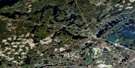
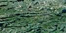
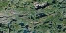
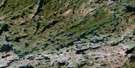
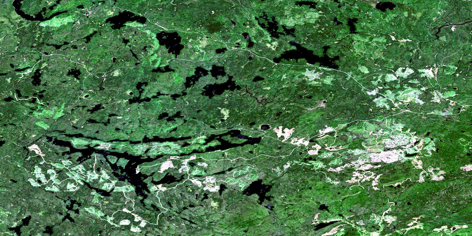
Marks Lake Satellite Image Map
Download Free Aerial Photo 052B08 at 1:50,000 scale
Marks Lake Satellite Imagery
To view this satellite map, mouse over the air photo on the right.
You can also download this satellite image map for free:
052B08 Marks Lake high-resolution satellite image map.
Maps for the Marks Lake aerial map sheet 052B08 at 1:50,000 scale are also available in these versions:
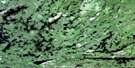
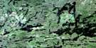
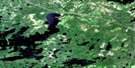
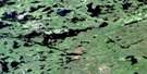
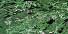
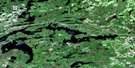
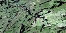
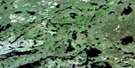
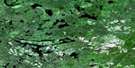
Marks Lake Surrounding Area Aerial Photo Maps
 |
 |
 |
 |
 |
 |
 |
 |
 |
 |
 |
 |
 |
 |
 |
 |
© Department of Natural Resources Canada. All rights reserved.
Marks Lake Gazetteer
The following places can be found on satellite image map 052B08 Marks Lake:
Marks Lake Satellite Image: Geographical areas
AldinaBégin
Duckworth
Hardwick
Jean
Lamport
Laurie
Sackville
Strange
Marks Lake Satellite Image: Lakes
Amethyst LakeAnton Lake
Batwing Lake
Blossom Lake
Blunder Lake
Brush Lake
Carson Lake
Cascade Lake
Chambers Lake
Chota Lake
Clovenhoof Lake
Doone Lake
Dorsalfin Lake
Edith Lake
Fire Lake
Flatrock Lake
Flower Lake
Hashie Lake
Head Lake
Henhawk Lake
Hoof Lake
Jacob Lake
Jade Lake
Jinx Lake
Joe Lake
Kamikau Lake
Kegmus Lake
Little Amethyst Lake
Little Gull Lake
Marks Lake
Mason Lake
McGrath Lake
McGraw Lake
Murphy Lake
Perching Gull Lakes
Reta Lake
Rushbrook Lake
Sprucefir Lake
Star Lake
Swallow Lake
Topaz Lake
Tower Lake
Weikwabinonaw Lake
Whalen Lake
Whistle Lake
Wishart Lake
Young Lake
Marks Lake Satellite Image: Mountains
Mount EdnaMount Marny
Tower Mountain
Marks Lake Satellite Image: Conservation areas
Matawin River Provincial Nature ReserveMatawin River Provincial Park
Marks Lake Satellite Image: Rivers
Batwing CreekBrush Creek
Camp Creek
Carson Creek
Gold Creek
Greenwater Creek
Hoof Creek
Joe Creek
Kekek Brook
Kekek Creek
Little Gull Creek
Matawin River
Sackville Creek
Shackers Creek
Swamp Creek
Titmarsh Creek
Topaz Creek
Weikwabinonaw River
Whistle Creek
Whitefish River
Yellowhammer Creek
Young Creek
© Department of Natural Resources Canada. All rights reserved.
052B Related Maps:
052B Quetico052B01 Arrow Lake
052B02 Saganaga Lake
052B03 Knife Lake
052B04 Basswood Lake
052B05 Poohbah Lake
052B06 Kawnipi Lake
052B07 Mowe Lake
052B08 Marks Lake
052B09 Shebandowan
052B10 Burchell Lake
052B11 Pickerel Lake
052B12 Quetico Lake
052B13 Atikokan
052B14 Sapawe
052B15 Bedivere Lake
052B16 Savanne
