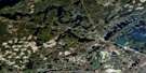
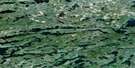
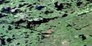
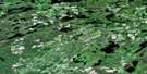
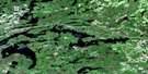
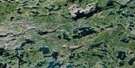
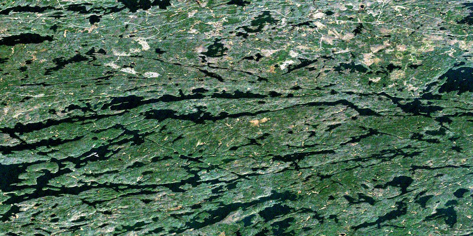
Quetico Lake Satellite Image Map
Download Free Aerial Photo 052B12 at 1:50,000 scale
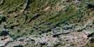
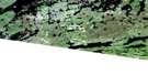
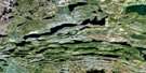
Quetico Lake Satellite Imagery
To view this satellite map, mouse over the air photo on the right.
You can also download this satellite image map for free:
052B12 Quetico Lake high-resolution satellite image map.
Maps for the Quetico Lake aerial map sheet 052B12 at 1:50,000 scale are also available in these versions:
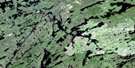
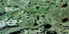
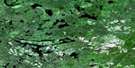
Quetico Lake Surrounding Area Aerial Photo Maps
 |
 |
 |
 |
 |
 |
 |
 |
 |
 |
 |
 |
 |
 |
 |
 |
© Department of Natural Resources Canada. All rights reserved.
Quetico Lake Gazetteer
The following places can be found on satellite image map 052B12 Quetico Lake:
Quetico Lake Satellite Image: Bays
Batchewaung BayBrown's Bay
Little Batchewaung Bay
West Bay
Quetico Lake Satellite Image: Capes
Mosquito PointQuetico Lake Satellite Image: Channels
Chub NarrowsPickerel Narrows
Sturgeon Narrows
Quetico Lake Satellite Image: Falls
Sue FallsQuetico Lake Satellite Image: Islands
Coffin IslandEden Island
Ivy Island
Pine Island
Quetico Lake Satellite Image: Lakes
Abbess LakeAlbert Lake
Antoine Lake
Badwater Lake
Banning Lake
Batchewaung Lake
Bee Lake
Bewag Lake
Big Bend Lake
Brown Lake
Burntside Lake
Cain Lake
Canal Lake
Caribus Lake
Ceph Lake
Chub Lake
Cirrus Lake
Cole Lake
Conk Lake
Draper Lake
Elizabeth Lake
Halliday Lake
Hamburg Lake
Hidden Lake
Jackfish Lake
Jean Lake
Jesse Lake
Jim Lake
Kasakokwog Lake
Kemuel Lake
Lakin Lake
Lark Lake
Law Lake
Lerome Lake
Little Brown Lake
Little Jean Lake
Little McCaulay Lake
Lonely Lake
Lynx Lake
Malone Lake
Maria Lake
McAlpine Lake
McCaulay Lake
McOuat Lake
Narrow Lake
North Quinn Lake
Olympia Lake
Oriana Lake
Owl Lake
Perch Lake
Plateau Lake
Question Lakes
Quetico Lake
Quinn Lake
Ram Lake
Red Pine Lake
Robin Lake
Smudge Lake
Snipe Lake
Soho Lake
Sturgeon Lake
Sue Lake
Twinling Lake
Walter Lake
Yeh Lake
Quetico Lake Satellite Image: Other municipal/district area - miscellaneous
AtikokanQuetico Lake Satellite Image: Conservation areas
Quetico Provincial ParkQuetico Lake Satellite Image: Rivers
Atikokan RiverCirrus Creek
Jackfish Creek
Lakin Creek
Lonely Creek
Malone Creek
McAlpine Creek
McCaulay Creek
McOuat Creek
Oriana Creek
Seine River
Quetico Lake Satellite Image: Road features
Cedar PortageMcAlpine Portage
Quetico Lake Satellite Image: Unincorporated areas
BanningElizabeth
© Department of Natural Resources Canada. All rights reserved.
052B Related Maps:
052B Quetico052B01 Arrow Lake
052B02 Saganaga Lake
052B03 Knife Lake
052B04 Basswood Lake
052B05 Poohbah Lake
052B06 Kawnipi Lake
052B07 Mowe Lake
052B08 Marks Lake
052B09 Shebandowan
052B10 Burchell Lake
052B11 Pickerel Lake
052B12 Quetico Lake
052B13 Atikokan
052B14 Sapawe
052B15 Bedivere Lake
052B16 Savanne
