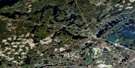
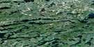
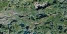
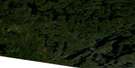
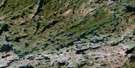
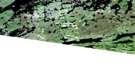
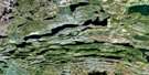
Knife Lake Satellite Image Map
Download Free Aerial Photo 052B03 at 1:50,000 scale
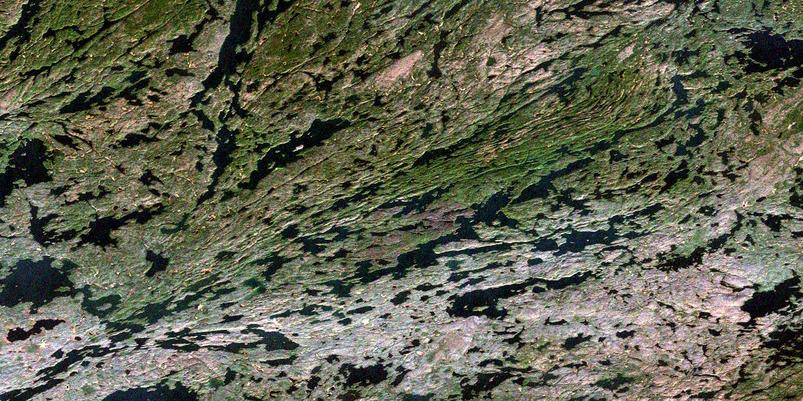
Knife Lake Satellite Imagery
To view this satellite map, mouse over the air photo on the right.
You can also download this satellite image map for free:
052B03 Knife Lake high-resolution satellite image map.
Maps for the Knife Lake aerial map sheet 052B03 at 1:50,000 scale are also available in these versions:
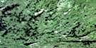
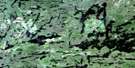
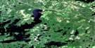
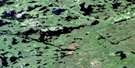
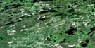
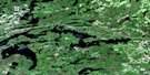
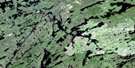
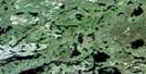
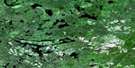
Knife Lake Surrounding Area Aerial Photo Maps
 |
 |
 |
 |
 |
 |
 |
 |
 |
 |
 |
 |
 |
 |
 |
 |
© Department of Natural Resources Canada. All rights reserved.
Knife Lake Gazetteer
The following places can be found on satellite image map 052B03 Knife Lake:
Knife Lake Satellite Image: Bays
Back BayBayley Bay
Cache Bay
Cheatan Bay
Inlet Bay
Little Merriam Bay
Lost Bay
North Bay
Sunday Bay
Knife Lake Satellite Image: Capes
Norway PointKnife Lake Satellite Image: Falls
Louisa FallsSilver Falls
Knife Lake Satellite Image: Islands
Green IslandHobo Island
Hunter Island
Johns Island
Sunday Island
Knife Lake Satellite Image: Lakes
Agnes LakeAmik Lake
Anchor Lake
Armin Lake
Arp Lake
Basswood Lake
Beaver Lake
Bell Lake
Birch Lake
Bit Lake
Blackstone Lake
Blackstone Lake
Bock Lake
Burke Lake
Carp Lake
Crawford Lake
Cypress Lake
Dell Lake
Dettbarn Lake
Dettburn Lake
Double Lake
Dumas Lake
East Lake
Edge Lake
Emerald Lake
Fauquier Lake
Fisher Lake
Fran Lake
Gamp Lake
Gilman Lake
Glacier Lake
Goodier Lake
Grey Lake
Isabella Lake
Jasper Lake
Jeff Lake
Kahshahpiwi Lake
Knife Lake
Lilypad Lake
Littlerock Lake
Louisa Lake
Magie Lake
Martin Lake
McLaren Lake
McNiece Lake
Meadows Lake
Mink Lake
Mouse Lake
No Man Lake
Noon Lake
Other Man Lake
Ottertrack Lake
Plough Lake
Poacher Lake
Polaris Lake
Rod Lake
Rom Lake
Saganaga Lake
Shade Lake
Shan Walshe Lake
Sheridan Lake
Silence Lake
Slate Lake
South Lake
Star Lake
Sucker Lake
Sultry Lake
Summer Lake
Sunday Lake
Swamp Lake
That Man Lake
This Man Lake
Turn Lake
Ward Lake
West Lake
Yum Yum Lake
Knife Lake Satellite Image: Conservation areas
Quetico Provincial ParkKnife Lake Satellite Image: Rivers
Dettbarn CreekDettburn Creek
Gamp Creek
Louisa River
McEwen Creek
Knife Lake Satellite Image: Road features
Big Knife PortageKnife Portage
Little Knife Portage
Monument Portage
North Portage
Prairie Portage
Singing Brook Portage
Swamp Portage
Yum Yum Portage
© Department of Natural Resources Canada. All rights reserved.
052B Related Maps:
052B Quetico052B01 Arrow Lake
052B02 Saganaga Lake
052B03 Knife Lake
052B04 Basswood Lake
052B05 Poohbah Lake
052B06 Kawnipi Lake
052B07 Mowe Lake
052B08 Marks Lake
052B09 Shebandowan
052B10 Burchell Lake
052B11 Pickerel Lake
052B12 Quetico Lake
052B13 Atikokan
052B14 Sapawe
052B15 Bedivere Lake
052B16 Savanne
